Camp Patiya
Campground
Campground · 3.8 mi from the trail
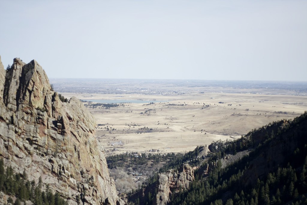
Towhee Trail is a short, easy out-and-back hike in Colorado, set on city-managed land within the Dunn I area. The trail is about 1.3 miles long, with a total elevation gain of 429 feet, and it starts and ends at roughly 6,000 feet. The route is rolling, and the steepest stretch comes about a third of the way in, where the grade reaches about 15 percent. The most comfortable months for a visit are typically late spring and early fall. Typical averages from a nearby weather station in Boulder show May highs around 71°F and September highs around 79°F, while July averages climb to about 88°F and winter lows dip to around 21°F. The hike takes about half an hour to complete. The trail sits close to several other spots. Block 2 and East Draw are climbing areas within a third of a mile, and Shadow Canyon South Trail is about 0.3 miles away. Boulder Creek, a paddling route, is about 5 miles off.
Camp Patiya
Campground
 If it rainsNwest21, CC BY-SA 4.0 · Wikimedia Commons
Planetarium in the United States
Places © OpenStreetMap contributors · Photos: Nwest21, CC BY-SA 4.0 (commons)
More in Idaho SpringsNot on Roamze yet. Their page has how to reach them.
 Shadow Canyon South TrailHikingPhoto: andrusdevelopment, CC BY 2.0 (via Flickr)0.3 mi
 Boulder CreekCanoeingPhoto: Susan from Alameda, CA, USA, CC BY 2.0 (via Wikimedia Commons)5 mi
 South Boulder CreekCanoeingPhoto: Jeffrey Beall, CC BY 3.0 (via Wikimedia Commons)7.4 mi
Source: Roamze catalog (indexable pages within 10 miles, PostGIS distance)
Shadow Canyon South TrailHiking · Next doorPhoto: andrusdevelopment, CC BY 2.0 (via Flickr) Mesa TrailHiking · Next doorPhoto: Josh Gross — CC BY 2.0 (via Flickr)West Ridge Climbing Access TrailHiking · ~2 min drivePhoto: andrusdevelopment, CC BY 2.0 (via Flickr)
 Shadow Canyon TrailHiking · ~1 min drivePhoto: Jesse James — CC BY 2.0 (via Flickr)
 Mesa TrailHiking · ~2 min drivePhoto: Wendell Smith, CC BY 3.0 (via Wikimedia Commons)
 Shadow Canyon North TrailHiking · ~1 min drivePhoto: michaelwm25, CC BY 3.0 (via Wikimedia Commons)
 Fern Canyon TrailHiking · ~3 min drivePhoto: kalestews, CC BY 2.0 (via Flickr)
 Fowler TrailHiking · ~2 min drivePhoto: andrusdevelopment, CC BY 2.0 (via Flickr)Bear Peak TrailHiking · ~3 min drivePhoto: michaelwm25, CC BY 3.0 (via Wikimedia Commons)
 Shanahan - South Fork TrailHiking · ~2 min drivePhoto: laurascudder, CC BY-SA 2.0 (via Flickr)
Best months: April–June and September–October. Best months have typical highs of 55–85 °F, lows of 30 °F or warmer (32 °F where the station doesn't record snow), at most one snowy day and no more than 12 wet days.
Jan
47° / 21°
6 wet
Feb
48° / 22°
7 wet
Mar
57° / 29°
8 wet
Apr
63° / 34°
10 wet
May
71° / 43°
12 wet
Jun
83° / 51°
10 wet
Jul
88° / 57°
11 wet
Aug
86° / 55°
10 wet
Sep
79° / 48°
8 wet
Oct
66° / 37°
7 wet
Nov
54° / 28°
6 wet
Dec
46° / 21°
6 wet
Typical high / low (°F) and days with rain or snow, 1991–2020. Measured at Boulder, CO, 3.2 mi away at 5,484 ft. The station sits about 500 ft lower than this place, so expect it a little cooler here. This station doesn't record snowfall. Source: NOAA NCEI U.S. Climate Normals 1991–2020.
Map and trail data © OpenStreetMap contributors


