Towhee-Canyon Connector
- 0.8 mi
- round trip
- 403 ft
- climb
- 7,005 ft
- high point
- Out and back
- route
- Jun–Sep
- best months
Towhee-Canyon Connector is an easy out-and-back hike of about 1.6 miles in Colorado's Soapstone Prairie Natural Area, on city-managed land. The route starts and ends at a low point of about 6,875 feet, with the high point near 7,005 feet and a total elevation gain and loss of about 403 feet each way. The climb is gentle, with the steepest stretch at around 0.7 miles into the trail, where the grade reaches about 7%. For comfortable weather, aim for late spring or early fall. Typical averages from a nearby weather station at a similar elevation show May highs around 62°F and September highs around 72°F, while winter brings frequent snow days and highs near 38°F. The hike takes about half an hour, and it sits close to several other trails. Canyon Trail is about 0.4 miles away, Towhee Loop about 0.8 miles, and Mahogany Trail and Mahogany Loop both within about a mile.
Local outfitters
- Alpine Lodge at Red Feather Lakes29 mi away
Not on Roamze yet. Their page has how to reach them.
- Canyon TrailHiking0.4 mi
- Towhee LoopHiking0.8 mi
- Mahogany TrailHiking0.9 mi
- Mahogany LoopHiking1.1 mi
- Sand Wash TrailHiking2.5 mi
- Pronghorn LoopMountain biking2.5 mi
- Plover TrailHiking2.5 mi
- Salt Lick TrailHiking3 mi
Source: Roamze catalog (indexable pages within 10 miles, PostGIS distance)
 Big Hole Wash TrailHiking · ~5 min drivePhoto: Mountain Roamer, CC BY-SA 2.0 (via Flickr)
- Canyon TrailHiking · Next door
- Salt Lick TrailHiking · ~5 min drive
- Bent Rock TrailHiking · ~6 min drivePhoto: Mountain Roamer, CC BY-SA 2.0 (via Flickr)
- Pronghorn LoopHiking · ~5 min drive
- CanyonsHiking · ~21 min drive
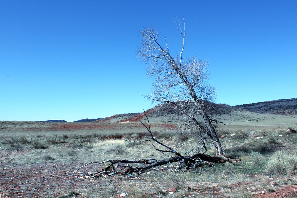 Big Hole Wash TrailHiking · ~7 min drivePhoto: Mountain Roamer, CC BY-SA 2.0 (via Flickr)
- Cheyenne Rim TrailHiking · ~7 min drive
- Crystal RidgeHiking · ~23 min drive
- Stone Circle TrailHiking · ~7 min drivePhoto: Mountain Roamer, CC BY-SA 2.0 (via Flickr)
Best time to visit Towhee-Canyon Connector
Best months: June–September. Best months have typical highs of 55–85 °F, lows of 30 °F or warmer (32 °F where the station doesn't record snow), at most one snowy day and no more than 12 wet days.
Jan
38° / 15°
5 wet · 6 snow
Feb
39° / 15°
6 wet · 6 snow
Mar
47° / 22°
7 wet · 7 snow
Apr
53° / 27°
9 wet · 7 snow
May
62° / 35°
11 wet · 3 snow
Jun
74° / 43°
11 wet
Jul
81° / 50°
12 wet
Aug
80° / 48°
12 wet
Sep
72° / 40°
9 wet · 1 snow
Oct
57° / 30°
7 wet · 4 snow
Nov
45° / 22°
5 wet · 5 snow
Dec
38° / 15°
6 wet · 6 snow
Typical high / low (°F) and days with rain or snow, 1991–2020. Measured at Virginia Dale 7 Ene, CO, 6.1 mi away at 7,015 ft. Source: NOAA NCEI U.S. Climate Normals 1991–2020.
Map and trail data © OpenStreetMap contributors
