Towhee Loop
- 2.9 mi
- loop
- 376 ft
- climb
- 6,973 ft
- high point
- Loop
- route
- Jun–Sep
- best months
Towhee Loop is a 2.9-mile loop trail located in Colorado. This moderate-length hike offers a accessible option for hikers looking to explore the Colorado landscape without committing to a full day on the trail. The loop format allows hikers to return to their starting point without retracing their steps, making it an efficient choice for those with limited time. The trail's relatively short distance makes it suitable for a wide range of skill levels, from families to experienced hikers seeking a shorter outing. The loop configuration provides variety in scenery throughout the hike, as you'll experience different perspectives of the surrounding area on each section of the trail. Towhee Loop is an excellent choice for hikers in the Colorado area looking for a straightforward day hike. Whether you're visiting the region or a local seeking to explore nearby trails, this loop offers a manageable distance that can typically be completed in a couple of hours, depending on your pace and how much time you spend enjoying the views along the way.
Local outfitters
- Alpine Lodge at Red Feather Lakes29 mi away
Not on Roamze yet. Their page has how to reach them.
Best time to go · Jun–Sep
Best time to visit Towhee Loop
Best months: June–September. Best months have typical highs of 55–85 °F, lows of 30 °F or warmer (32 °F where the station doesn't record snow), at most one snowy day and no more than 12 wet days.
Jan
38° / 15°
5 wet · 6 snow
Feb
39° / 15°
6 wet · 6 snow
Mar
47° / 22°
7 wet · 7 snow
Apr
53° / 27°
9 wet · 7 snow
May
62° / 35°
11 wet · 3 snow
Jun
74° / 43°
11 wet
Jul
81° / 50°
12 wet
Aug
80° / 48°
12 wet
Sep
72° / 40°
9 wet · 1 snow
Oct
57° / 30°
7 wet · 4 snow
Nov
45° / 22°
5 wet · 5 snow
Dec
38° / 15°
6 wet · 6 snow
Typical high / low (°F) and days with rain or snow, 1991–2020. Measured at Virginia Dale 7 Ene, CO, 6.6 mi away at 7,015 ft. Source: NOAA NCEI U.S. Climate Normals 1991–2020.
Keep exploring — more trails worth the drive
 Photo: Mountain Roamer, CC BY-SA 2.0 (via Flickr)
Big Hole Wash Trail
~6 min drive
2.48-mile out-and-back hike in Colorado with 389 ft elevation gain/loss.
HIKE
Canyon Trail
~2 min drive
4.37-mile out-and-back trail in Colorado with 617 ft elevation gain
HIKE
Salt Lick Trail
~6 min drive
1.79-mile out-and-back hike in Colorado with 584 ft gain and 6,887 ft max elevation.
Photo: Mountain Roamer, CC BY-SA 2.0 (via Flickr)Bent Rock Trail
~7 min drive
5.5 mi · Easy
HIKE
Pronghorn Loop
~4 min drive
8.78-mile loop in Colorado with 800 ft elevation gain.
HIKE
Canyons
~23 min drive
7.26-mile out-and-back trail in Wyoming with 2,481 ft elevation gain
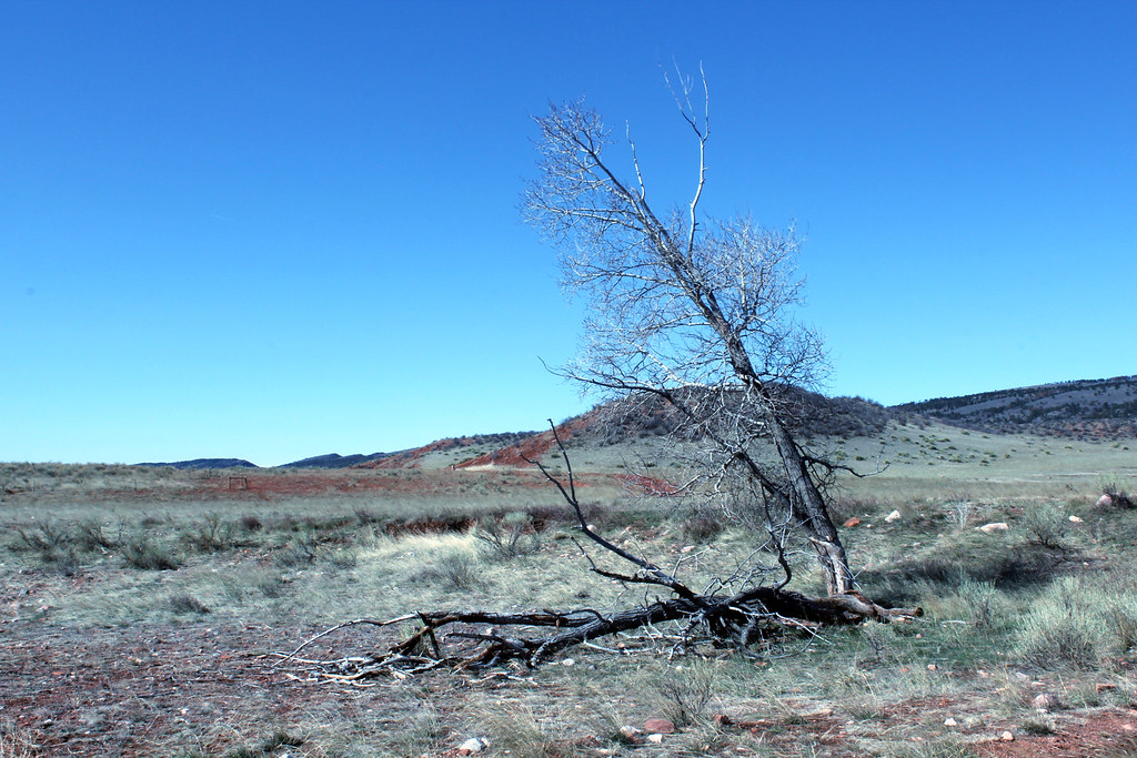 Photo: Mountain Roamer, CC BY-SA 2.0 (via Flickr)
Big Hole Wash Trail
~7 min drive
1.12-mile out-and-back trail in Colorado with 117 ft elevation gain.
HIKE
Cheyenne Rim Trail
~8 min drive
25 mi · Hard
HIKE
Crystal Ridge
~25 min drive
5.16-mile out-and-back trail in Wyoming with 1,022 ft elevation gain.
Photo: Mountain Roamer, CC BY-SA 2.0 (via Flickr)K-Lynn Cameron Trail
~8 min drive
2.38-mile trail in Colorado with 400 ft gain.
Map and trail data © OpenStreetMap contributors
