Taylor Peak
- 4.5 mi
- round trip
- 3,125 ft
- climb
- 13,419 ft
- high point
- Out and back
- route
Is Taylor Peak open right now?
Closure in the area
There's a closure order in Grand Mesa, Uncompahgre and Gunnison National Forests. It doesn't name Taylor Peak, so check the source for the area it covers (2 listed).
Gold Mountain Wildfire Roads and Trails Closure Order v 4.0
Agency closure covering Grand Mesa, Uncompahgre and Gunnison National Forests · USFS · Grand Mesa, Uncompahgre and Gunnison National Forests
Ophir Pass Road Closure
Agency closure covering Grand Mesa, Uncompahgre and Gunnison National Forests · USFS · Grand Mesa, Uncompahgre and Gunnison National Forests
Potter Basin Road Closure Order
Agency alert covering Grand Mesa, Uncompahgre and Gunnison National Forests · USFS · Grand Mesa, Uncompahgre and Gunnison National Forests
Beaver Park Road Closure Order
Agency alert covering Grand Mesa, Uncompahgre and Gunnison National Forests · USFS · Grand Mesa, Uncompahgre and Gunnison National Forests
TERMINATION OF ORDER - FIRE RESTRICTIONS
Agency alert covering Grand Mesa, Uncompahgre and Gunnison National Forests · USFS · Grand Mesa, Uncompahgre and Gunnison National Forests
As of · Source: USFS · Grand Mesa, Uncompahgre and Gunnison National Forests. Agencies don't list every closure — check before you go.
Taylor Peak is a hard hike in Colorado's Gunnison Ranger District, part of the Grand Mesa, Uncompahgre and Gunnison National Forests. The route is an out-and-back of about 4.5 miles, with a total climb of roughly 3,125 feet to a high point of 13,419 feet. That makes it a steep, high-elevation objective, and the Forest Service manages the land. The peak sits close to Star Peak, which lies about 0.1 mile away, and the Mount Tilton Trail is about 1.4 miles off. For an overnight base, Pearl Pass Dispersed Campground is about 3.7 miles away, and Campsite CC20 is about 4 miles away.
Go with a guide
- Mineral Belt Trail Guided WalkNexPM AI · $25 per person · 31 mi away
- Maroon Bells Guide and Outfitters14 mi away
Conditions and forecast on Taylor Peak
Daily highs and lows, wind and the chance of precipitation at the summit and route start for the next 7 days, from the Open-Meteo model.
- Star PeakHiking0.1 mi
- Mount Tilton TrailHiking1.4 mi
- Pearl Pass Dispersed CampgroundCamping3.7 mi
- Campsite CC20Camping4 mi
 Taylor RiverCanoeingPhoto: Jeffrey Beall, CC BY-SA 3.0 (via Wikimedia Commons)4.6 mi
- Lincoln CreekCanoeing8.7 mi
- Campsite 5 AreaRock climbing9.4 mi
- MonasteryRock climbing9.5 mi
Source: Roamze catalog (indexable pages within 10 miles, PostGIS distance)
 Star Lily Connector Trail 623Hiking · ~7 min drivePhoto: John Sowell, CC BY-SA 4.0 (via Wikimedia Commons)
 Trail near Cathedral LakeHiking · ~9 min drivePhoto: jl_2, CC BY-SA 2.0 (via Flickr)
- Mount Tilton TrailHiking · ~2 min drive
- Malemute PeakHiking · ~6 min drive
- Electric PassHiking · ~10 min drivePhoto: jl_2, CC BY-SA 2.0 (via Flickr)
- Mount Tilton Spur TrailHiking · ~4 min drive
- CRYSTAL PEAKHiking · ~4 min drive
- Pearl MountainHiking · ~6 min drive
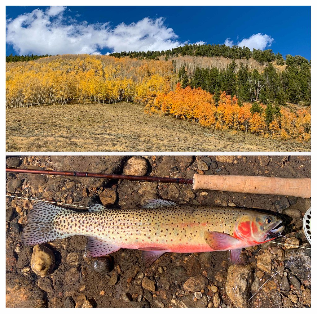 Bear Creek TrailHiking · ~13 min drivePhoto: thart2009, CC BY 2.0 (via Flickr)
- HUNTERS CREEKHiking · ~7 min drive
Also worth it near here


Route details
- Distance
- 4.5 mi round trip
- Climbing
- About 3,125 ft
- Starts at
- Taylor River Trailhead
- Summit
- 13,432 ft
- Difficulty
- Hard
Questions about this route
How long is the Taylor Peak on Taylor Peak?
About 4.5 mi round trip from Taylor River Trailhead.
How much elevation gain is on the Taylor Peak?
About 3,125 ft of climbing round trip.
How hard is the Taylor Peak?
It is rated hard.
Where does the Taylor Peak start?
Taylor River Trailhead.
© openrouteservice.org by HeiGIT | Map data © OpenStreetMap contributors
