Sweet Shady Trail North
- 1.0 mi
- round trip
- 610 ft
- climb
- 6,047 ft
- high point
- Out and back
- route
- Apr–Jun, Sep–Oct
- best months
Sweet Shady Trail North is an easy, 1-mile out-and-back hike on Bureau of Land Management land in Colorado's Uncompahgre Field Office. The route rises about 422 feet from a start elevation of roughly 5,794 feet to a high point of about 6,047 feet, and the steepest stretch comes around the 0.6-mile mark at about 8% grade. Late spring and early fall are the most comfortable times to go. Typical averages from the nearby Paonia weather station, which sits a few hundred feet lower, show May highs around 73°F and September highs around 79°F. July averages reach about 90°F, and winter brings frequent snow days. Rebel Ridge North and Gully Trail are both within a quarter mile, and the Elitches Trail and Horseshoe Ridge mountain biking routes are close by.
Local outfitters
- Cedar Creek RV Park and Lodging31 mi away
- Maroon Bells Guide and Outfitters43 mi away
Not on Roamze yet. Their page has how to reach them.
- Rebel Ridge NorthHiking0.1 mi
- Gully TrailHiking0.2 mi
- Elitches TrailMountain biking0.3 mi
- Horseshoe RidgeMountain biking0.4 mi
- Zip n' OutMountain biking0.4 mi
- Bang ZoomMountain biking0.5 mi
- HerfendoodleMountain biking0.6 mi
- Hubbard CreekCanoeing8.9 mi
Source: Roamze catalog (indexable pages within 10 miles, PostGIS distance)
 Trail 860AHiking · ~20 min drivePhoto: Blake Patterson from Alexandria, VA, USA, CC BY 2.0 (via Wikimedia Commons)
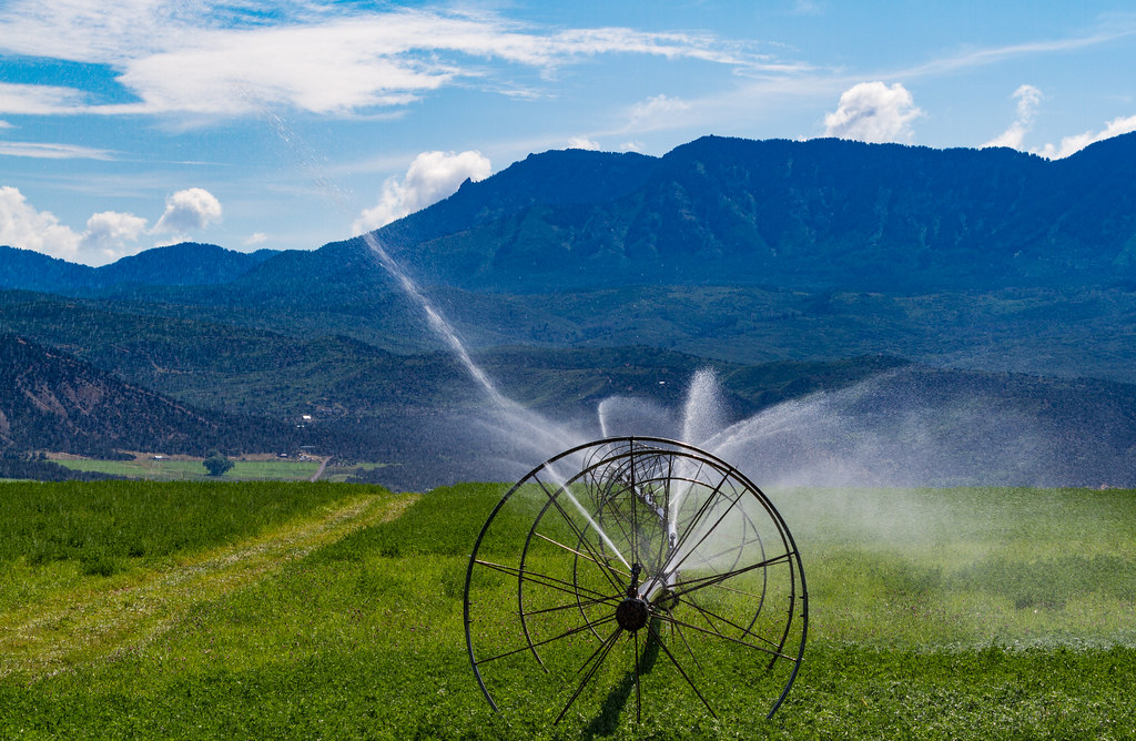 Indian Fire Nature TrailHiking · ~23 min drivePhoto: Tony Webster, CC BY 2.0 (via Flickr)
- Mt. Lamborn Summit TrailHiking · ~9 min drive
- Sink CreekHiking · ~23 min drive
- Jumbo RidgeHiking · ~2 min drive
- West Shore TrailHiking · ~24 min drivePhoto: Tony Webster, CC BY 2.0 (via Flickr)
- CUNNINGHAM CREEK SKIHiking · ~11 min drive
- Ridge of DoomHiking · ~3 min drive
- Rebel Ridge NorthHiking · Next door
- Hubbard CanyonHiking · ~12 min drive
Best time to visit Sweet Shady Trail North
Best months: April–June and September–October. Best months have typical highs of 55–85 °F, lows of 30 °F or warmer (32 °F where the station doesn't record snow), at most one snowy day and no more than 12 wet days.
Jan
39° / 16°
8 wet · 5 snow
Feb
45° / 22°
7 wet · 4 snow
Mar
56° / 29°
8 wet · 3 snow
Apr
63° / 34°
7 wet · 1 snow
May
73° / 42°
7 wet
Jun
85° / 51°
5 wet
Jul
90° / 57°
7 wet
Aug
88° / 56°
8 wet
Sep
79° / 48°
7 wet
Oct
67° / 37°
7 wet · 1 snow
Nov
53° / 27°
7 wet · 3 snow
Dec
40° / 17°
8 wet · 5 snow
Typical high / low (°F) and days with rain or snow, 1991–2020. Measured at Paonia 1sw, CO, 2.8 mi away at 5,581 ft. Source: NOAA NCEI U.S. Climate Normals 1991–2020.

Map and trail data © OpenStreetMap contributors
