Basecamp Palisade RV Resort
Campground
Campground · 4.2 mi from the trail
 Photo: iagoarchangel, CC BY-SA 2.0 (via Flickr)
Spring Creek Bench Route is a moderate out-and-back hike on Bureau of Land Management land in the Grand Junction Field Office of western Colorado. The route is about 2.4 miles long, with a total elevation gain of 1,057 feet, and it reaches a high point of 5,636 feet. The climb is front-loaded, with the steepest stretch at about 0.57 miles in, where the grade reaches 29 percent. The most comfortable months for a visit are typically May and September. Typical averages from a nearby weather station in Palisade show May highs around 76°F and September highs around 81°F, while July averages climb to about 93°F and winter highs sit in the low 40s. The hike takes about 1.5 hours to complete. Spring Creek is about 0.6 miles away, and Old Orchard Lake Trail and Bouse Trail are both within 3 miles. Climbers can find De Beque Canyon about 3 miles off.
Basecamp Palisade RV Resort
Campground
 If it rainsJeffrey Beall, CC BY-SA 3.0 · Wikimedia Commons
Places © OpenStreetMap contributors, Places © Overture Maps Foundation · Photos: Jeffrey Beall, CC BY-SA 3.0 (commons)
More in CliftonNot on Roamze yet. Their page has how to reach them.
Spring CreekHikingPhoto: iagoarchangel, CC BY-SA 2.0 (via Flickr)0.6 mi Old Orchard Lake TrailHikingPhoto: inkknife_2000 (7.5 million views +), CC BY-SA 2.0 (via Wikimedia Commons)2.7 mi
 Bouse TrailHikingPhoto: inkknife_2000 (7.5 million views +), CC BY-SA 2.0 (via Wikimedia Commons)2.9 miPalisadeRock climbingPhoto: inkknife_2000 (7.5 million views +), CC BY-SA 2.0 (via Wikimedia Commons)3.8 mi
Source: Roamze catalog (indexable pages within 10 miles, PostGIS distance)
Spring CreekHiking · Next doorPhoto: iagoarchangel, CC BY-SA 2.0 (via Flickr)Old Orchard Lake TrailHiking · ~5 min drivePhoto: inkknife_2000 (7.5 million views +), CC BY-SA 2.0 (via Wikimedia Commons)Bouse TrailHiking · ~5 min drivePhoto: inkknife_2000 (7.5 million views +), CC BY-SA 2.0 (via Wikimedia Commons) Palisade Rim Upper Loop TrailHiking · ~8 min drivePhoto: iagoarchangel, CC BY-SA 2.0 (via Flickr)
 Mount Garfield TrailHiking · ~8 min drivePhoto: iagoarchangel, CC BY-SA 2.0 (via Flickr)Coal Canyon RimHiking · ~5 min drivePhoto: inkknife_2000 (7.5 million views +), CC BY-SA 2.0 (via Wikimedia Commons)
 Palisade Rim TrailHiking · ~7 min drivePhoto: iagoarchangel, CC BY-SA 2.0 (via Flickr)
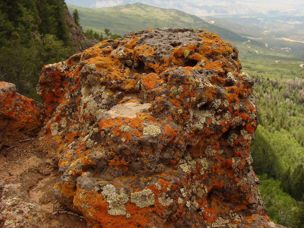 Whitewater BasinHiking · ~21 min drivePhoto: iagoarchangel, CC BY-SA 2.0 (via Flickr)
 Riverfront TrailHiking · ~17 min drivePhoto: inkknife_2000 (7.5 million views +), CC BY-SA 2.0 (via Wikimedia Commons)
 Palisade Rim Lower Loop TrailHiking · ~7 min drivePhoto: iagoarchangel, CC BY-SA 2.0 (via Flickr)
Best months: March–May and September–October. Best months have typical highs of 55–85 °F, lows of 30 °F or warmer (32 °F where the station doesn't record snow), at most one snowy day and no more than 12 wet days.
Jan
40° / 21°
5 wet · 2 snow
Feb
47° / 26°
5 wet · 2 snow
Mar
58° / 34°
6 wet · 1 snow
Apr
66° / 40°
7 wet
May
76° / 50°
6 wet
Jun
87° / 58°
3 wet
Jul
93° / 65°
5 wet
Aug
90° / 63°
6 wet
Sep
81° / 55°
6 wet
Oct
67° / 42°
6 wet
Nov
53° / 31°
5 wet · 1 snow
Dec
41° / 22°
5 wet · 2 snow
Typical high / low (°F) and days with rain or snow, 1991–2020. Measured at Palisade, CO, 4 mi away at 4,751 ft. The station sits about 900 ft lower than this place, so expect it a little cooler here. Source: NOAA NCEI U.S. Climate Normals 1991–2020.
Map and trail data © OpenStreetMap contributors
