Basecamp Palisade RV Resort
Campground
Campground · 3.5 mi from the trail
 Photo: inkknife_2000 (7.5 million views +), CC BY-SA 2.0 (via Wikimedia Commons)
Coal Canyon Rim is a 1.1-mile out-and-back trail in Colorado with 454 feet of elevation gain. The route reaches a maximum elevation of 5,685 feet.
Basecamp Palisade RV Resort
Campground
 If it rainsJeffrey Beall, CC BY-SA 3.0 · Wikimedia Commons
Places © OpenStreetMap contributors, Places © Overture Maps Foundation · Photos: Jeffrey Beall, CC BY-SA 3.0 (commons)
More in CliftonNot on Roamze yet. Their page has how to reach them.
Bouse TrailHikingPhoto: inkknife_2000 (7.5 million views +), CC BY-SA 2.0 (via Wikimedia Commons)0.4 mi Mount Garfield TrailHikingPhoto: iagoarchangel, CC BY-SA 2.0 (via Flickr)1.5 miPalisadeRock climbingPhoto: inkknife_2000 (7.5 million views +), CC BY-SA 2.0 (via Wikimedia Commons)2.1 mi
Source: Roamze catalog (indexable pages within 10 miles, PostGIS distance)
Bouse TrailHiking · Next doorPhoto: inkknife_2000 (7.5 million views +), CC BY-SA 2.0 (via Wikimedia Commons)Mount Garfield TrailHiking · ~3 min drivePhoto: iagoarchangel, CC BY-SA 2.0 (via Flickr) Palisade Rim Upper Loop TrailHiking · ~7 min drivePhoto: iagoarchangel, CC BY-SA 2.0 (via Flickr)
 Old Orchard Lake TrailHiking · ~9 min drivePhoto: inkknife_2000 (7.5 million views +), CC BY-SA 2.0 (via Wikimedia Commons)
 Spring Creek Bench RouteHiking · ~5 min drivePhoto: iagoarchangel, CC BY-SA 2.0 (via Flickr)Spring CreekHiking · ~5 min drivePhoto: iagoarchangel, CC BY-SA 2.0 (via Flickr)
 Riverfront TrailHiking · ~12 min drivePhoto: inkknife_2000 (7.5 million views +), CC BY-SA 2.0 (via Wikimedia Commons)
 Palisade Rim TrailHiking · ~6 min drivePhoto: iagoarchangel, CC BY-SA 2.0 (via Flickr)
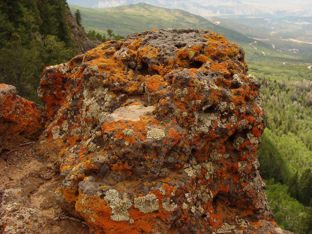 Whitewater BasinHiking · ~20 min drivePhoto: iagoarchangel, CC BY-SA 2.0 (via Flickr)Wildlife Area Section Spur TrailHiking · ~13 min drivePhoto: inkknife_2000 (7.5 million views +), CC BY-SA 2.0 (via Wikimedia Commons)
Best months: March–May and September–October. Best months have typical highs of 55–85 °F, lows of 30 °F or warmer (32 °F where the station doesn't record snow), at most one snowy day and no more than 12 wet days.
Jan
40° / 21°
5 wet · 2 snow
Feb
47° / 26°
5 wet · 2 snow
Mar
58° / 34°
6 wet · 1 snow
Apr
66° / 40°
7 wet
May
76° / 50°
6 wet
Jun
87° / 58°
3 wet
Jul
93° / 65°
5 wet
Aug
90° / 63°
6 wet
Sep
81° / 55°
6 wet
Oct
67° / 42°
6 wet
Nov
53° / 31°
5 wet · 1 snow
Dec
41° / 22°
5 wet · 2 snow
Typical high / low (°F) and days with rain or snow, 1991–2020. Measured at Palisade, CO, 2.4 mi away at 4,751 ft. The station sits about 900 ft lower than this place, so expect it a little cooler here. Source: NOAA NCEI U.S. Climate Normals 1991–2020.
Map and trail data © OpenStreetMap contributors
