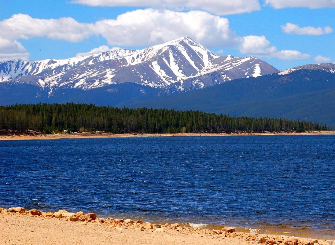
Lakeview Campground
Campground
Campground · 1.9 mi from the trail
Closure in the area
There's a closure order in Leadville Ranger District. It doesn't name South Mt. Elbert, so check the source for the area it covers.
Willow Fire Area Closure
Agency closure covering Leadville Ranger District · Order 02-12-01-26-39 · USFS · Leadville Ranger District
FSR 286, Radical Hill, is closed due to washouts and unsafe conditions
Agency alert covering Pike and San Isabel National Forests · USFS · Pike and San Isabel National Forests
Interlaken Hotel and Annex Area closure
Agency alert covering Leadville Ranger District · Order 02-12-01-26-19 · USFS · Leadville Ranger District
Interlaken Hotel Tree Hazards
Agency alert covering Pike and San Isabel National Forests · USFS · Pike and San Isabel National Forests
Sharpe Fire Update
Agency alert covering Pike and San Isabel National Forests · USFS · Pike and San Isabel National Forests
As of · Source: USFS · Leadville Ranger District. Agencies don't list every closure — check before you go.
South Mt. Elbert is a hard out-and-back hike in Colorado's Pike and San Isabel National Forests, within the Leadville Ranger District. The route rises from a low point of about 10,500 feet to the summit of South Mt. Elbert, which sits at about 14,200 feet, over a distance of roughly 9.5 miles. The trail is open year round and managed by the Forest Service. The climb totals about 3,680 feet of elevation gain. It is a natural-surface trail, and mountain biking is allowed. The trailhead is marked as South Elbert. The Continental Divide Trail and Colorado Trail (Segment 11) passes about 0.3 miles away. Twin Lakes is about 1.7 miles off, and Lakeview Campground and the Deception Point Fishing Site lie within about 2.3 miles.
Lakeview Campground
Campground
 If it rainsLongled, CC BY-SA 3.0 · Wikimedia Commons
Historic frontier synagogue building
Places © OpenStreetMap contributors, Places © Overture Maps Foundation · Photos: Longled, CC BY-SA 3.0 (commons)
More in Leadville Twin LakesHikingPhoto: Frans-Banja Mulder, CC BY 3.0 (via Wikimedia Commons)1.7 mi
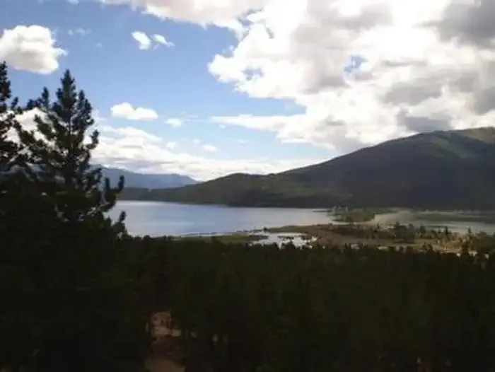 Lakeview CampgroundCampingPhoto: Recreation.gov (RIDB) / public domain1.9 mi
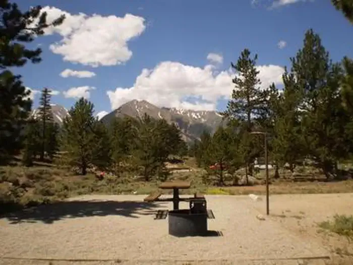 White StarCampingPhoto: Recreation.gov (RIDB) / public domain2.1 mi
 Twin Lakes AreaRock climbingPhoto: jonathan c. wheeler, CC BY-SA 3.0 (via Wikimedia Commons)2.9 mi
Source: Roamze catalog (indexable pages within 10 miles, PostGIS distance)
 Black Cloud TrailHiking · ~5 min drivePhoto: jl_2, CC BY-SA 2.0 (via Flickr)Mount BlaurockHiking · ~6 min drivePhoto: jonathan c. wheeler, CC BY-SA 3.0 (via Wikimedia Commons)
 North Fork Lake CreekHiking · ~13 min drivePhoto: markbyzewski, CC BY 2.0 (via Flickr)
 Mount Massive East SlopesHiking · ~5 min drivePhoto: Gaep13 at en.wikipedia), Public domain (via Wikimedia Commons)Twin LakesHiking · ~3 min drivePhoto: Frans-Banja Mulder, CC BY 3.0 (via Wikimedia Commons)
 Deer MountainHiking · ~13 min drivePhoto: Toshihiro Matsui, CC BY-SA 3.0 (via Wikimedia Commons)
 Black CloudHiking · ~6 min drivePhoto: jefftakespictures, CC BY 2.0 (via Flickr)