Camp Patiya
Campground
Campground · 5.0 mi from the trail
 Photo: Scott McLeod, CC BY 2.0 (via Flickr)
South Boulder Creek West is a short, easy out-and-back hike in Boulder, Colorado, on city-managed land within the Neuhauser area. The route is about 1.8 miles long, with a total elevation gain of 74 feet, and it starts and ends at roughly 5,528 feet. The climb is flat, with the steepest stretch at about 0.8 miles in, where the grade reaches about 2 percent. The most comfortable months for a visit are typically late spring and early fall. Typical averages from a nearby weather station in Boulder show May highs around 71°F and September highs around 79°F, while July averages climb to about 88°F. The hike takes about half an hour to complete. The Coal Seam Trail and the Lower Big Bluestem Trail both lie about 0.7 miles away, and the Block 2 climbing area is about 1.2 miles off. For an overnight stay, Winiger Ridge campground is about 6.7 miles away.
Camp Patiya
Campground
 If it rainsNwest21, CC BY-SA 4.0 · Wikimedia Commons
Planetarium in the United States
Places © OpenStreetMap contributors · Photos: Nwest21, CC BY-SA 4.0 (commons)
More in Idaho SpringsNot on Roamze yet. Their page has how to reach them.
Coal Seam TrailHikingPhoto: Scott McLeod, CC BY 2.0 (via Flickr)0.7 mi Lower Big Bluestem TrailHikingPhoto: Josh Gross — CC BY 2.0 (via Flickr)0.7 mi
 Boulder CreekCanoeingPhoto: Susan from Alameda, CA, USA, CC BY 2.0 (via Wikimedia Commons)5.4 mi
 Tipi VillageCampingPhoto: Jeffrey Beall, CC BY 3.0 (via Wikimedia Commons)8.1 mi
 South Boulder CreekCanoeingPhoto: Jeffrey Beall, CC BY 3.0 (via Wikimedia Commons)8.8 mi
Source: Roamze catalog (indexable pages within 10 miles, PostGIS distance)
Coal Seam TrailHiking · ~1 min drivePhoto: Scott McLeod, CC BY 2.0 (via Flickr) Shadow Canyon South TrailHiking · ~3 min drivePhoto: andrusdevelopment, CC BY 2.0 (via Flickr)Lower Big Bluestem TrailHiking · ~1 min drivePhoto: Josh Gross — CC BY 2.0 (via Flickr)
 Mesa TrailHiking · ~4 min drivePhoto: Wendell Smith, CC BY 3.0 (via Wikimedia Commons)Marshall Valley TrailHiking · ~1 min drivePhoto: Scott McLeod, CC BY 2.0 (via Flickr)
 Fern Canyon TrailHiking · ~4 min drivePhoto: kalestews, CC BY 2.0 (via Flickr)Mesa TrailHiking · ~2 min drivePhoto: Josh Gross — CC BY 2.0 (via Flickr)
 Greenbriar Connector TrailHiking · ~2 min drivePhoto: maksimovic61, CC BY 2.0 (via Flickr)
 Middle Fork Shanahan TrailHiking · ~2 min drivePhoto: micahcraig, CC BY-SA 2.0 (via Flickr)
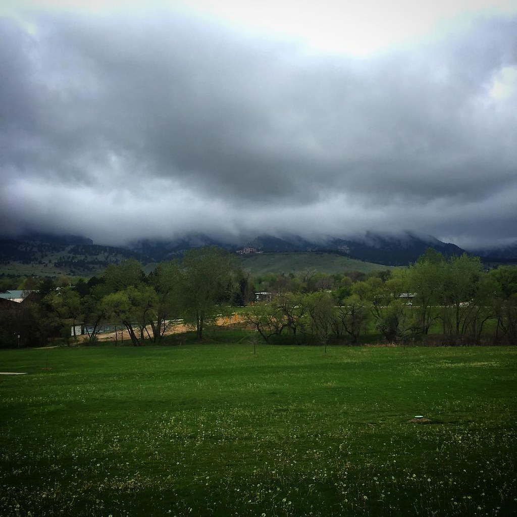 Walk The DogHiking · ~3 min drivePhoto: Scott McLeod, CC BY 2.0 (via Flickr)
Best months: April–June and September–October. Best months have typical highs of 55–85 °F, lows of 30 °F or warmer (32 °F where the station doesn't record snow), at most one snowy day and no more than 12 wet days.
Jan
47° / 21°
6 wet
Feb
48° / 22°
7 wet
Mar
57° / 29°
8 wet
Apr
63° / 34°
10 wet
May
71° / 43°
12 wet
Jun
83° / 51°
10 wet
Jul
88° / 57°
11 wet
Aug
86° / 55°
10 wet
Sep
79° / 48°
8 wet
Oct
66° / 37°
7 wet
Nov
54° / 28°
6 wet
Dec
46° / 21°
6 wet
Typical high / low (°F) and days with rain or snow, 1991–2020. Measured at Boulder, CO, 3.1 mi away at 5,484 ft. This station doesn't record snowfall. Source: NOAA NCEI U.S. Climate Normals 1991–2020.
Map and trail data © OpenStreetMap contributors

