Shitake Ridge
- 0.4 mi
- round trip
- 661 ft
- climb
- 6,939 ft
- high point
- Out and back
- route
- Apr–Jun, Sep–Oct
- best months
Shitake Ridge is a short out-and-back trail in Colorado covering 0.72 miles with 661 feet of elevation gain. The route reaches a maximum elevation of 6,939 feet.
Local outfitters
- Cedar Creek RV Park and Lodging32 mi away
- Maroon Bells Guide and Outfitters41 mi away
Not on Roamze yet. Their page has how to reach them.
 Trail 860AHiking · ~20 min drivePhoto: Blake Patterson from Alexandria, VA, USA, CC BY 2.0 (via Wikimedia Commons)
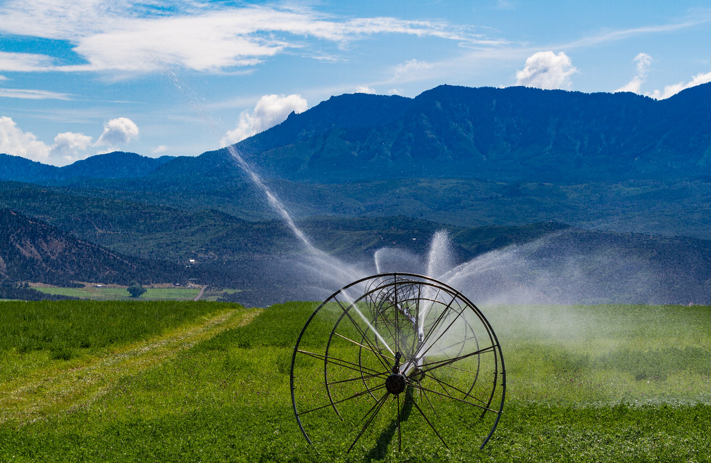 Indian Fire Nature TrailHiking · ~24 min drivePhoto: Tony Webster, CC BY 2.0 (via Flickr)
- Mt. Lamborn Summit TrailHiking · ~8 min drive
- Sink CreekHiking · ~22 min drive
- Ridge of DoomHiking · Next door
- Desolation RidgeHiking · ~1 min drive
- Hubbard CanyonHiking · ~10 min drive
- Jumbo RidgeHiking · ~2 min drive
- Elitches TrailHiking · ~2 min drive
- Lone Cabin TrailHiking · ~11 min drive
Best time to visit Shitake Ridge
Best months: April–June and September–October. Best months have typical highs of 55–85 °F, lows of 30 °F or warmer (32 °F where the station doesn't record snow), at most one snowy day and no more than 12 wet days.
Jan
39° / 16°
8 wet · 5 snow
Feb
45° / 22°
7 wet · 4 snow
Mar
56° / 29°
8 wet · 3 snow
Apr
63° / 34°
7 wet · 1 snow
May
73° / 42°
7 wet
Jun
85° / 51°
5 wet
Jul
90° / 57°
7 wet
Aug
88° / 56°
8 wet
Sep
79° / 48°
7 wet
Oct
67° / 37°
7 wet · 1 snow
Nov
53° / 27°
7 wet · 3 snow
Dec
40° / 17°
8 wet · 5 snow
Typical high / low (°F) and days with rain or snow, 1991–2020. Measured at Paonia 1sw, CO, 4.4 mi away at 5,581 ft. The station sits about 1,400 ft lower than this place, so expect it a little cooler here. Source: NOAA NCEI U.S. Climate Normals 1991–2020.

Map and trail data © OpenStreetMap contributors
