Dinner Station Campground
Campground
Campground · 3.3 mi from the trail
Closure in the area
There's a closure order in Grand Mesa, Uncompahgre and Gunnison National Forests. It doesn't name Red Mountain Creek, so check the source for the area it covers (2 listed).
Gold Mountain Wildfire Roads and Trails Closure Order v 4.0
Agency closure covering Grand Mesa, Uncompahgre and Gunnison National Forests · USFS · Grand Mesa, Uncompahgre and Gunnison National Forests
Ophir Pass Road Closure
Agency closure covering Grand Mesa, Uncompahgre and Gunnison National Forests · USFS · Grand Mesa, Uncompahgre and Gunnison National Forests
Potter Basin Road Closure Order
Agency alert covering Grand Mesa, Uncompahgre and Gunnison National Forests · USFS · Grand Mesa, Uncompahgre and Gunnison National Forests
Beaver Park Road Closure Order
Agency alert covering Grand Mesa, Uncompahgre and Gunnison National Forests · USFS · Grand Mesa, Uncompahgre and Gunnison National Forests
TERMINATION OF ORDER - FIRE RESTRICTIONS
Agency alert covering Grand Mesa, Uncompahgre and Gunnison National Forests · USFS · Grand Mesa, Uncompahgre and Gunnison National Forests
As of · Source: USFS · Grand Mesa, Uncompahgre and Gunnison National Forests. Agencies don't list every closure — check before you go.
Red Mountain Creek is a hard hike in the Collegiate Peaks Wilderness, part of the Gunnison Ranger District of the Grand Mesa, Uncompahgre and Gunnison National Forests in Colorado. The Forest Service manages the land, and the route is an out-and-back of about 7 miles with a one-way elevation gain of 1,963 feet, from a low point of about 10,252 feet to a high of about 12,218 feet. The trail is on natural surface, and horses are allowed. Bikes are not. That makes it a good fit for riders on horseback or on foot, but not for cyclists. For supplies and a place to stay, Dinner Station Campground sits about 3.3 miles away, and Dorchester Campground is about 5.1 miles off. The Spring Creek/Rocky Brook SNWMO hike is about 2.6 miles away, and the Lake Pass hike is about 3.7 miles away.
Dinner Station Campground
Campground
St. Elmo Town Hall & Jail
Museum
Places © OpenStreetMap contributors, Places © Overture Maps Foundation
More in Pitkin Taylor RiverCanoeingPhoto: Jeffrey Beall, CC BY-SA 3.0 (via Wikimedia Commons)5.8 mi
Source: Roamze catalog (indexable pages within 10 miles, PostGIS distance)
 La Plata PeakHiking · ~13 min drivePhoto: kalestews, CC BY 2.0 (via Flickr)
 Mt. Huron Trail 1507Hiking · ~15 min drivePhoto: jl_2, CC BY-SA 2.0 (via Flickr)
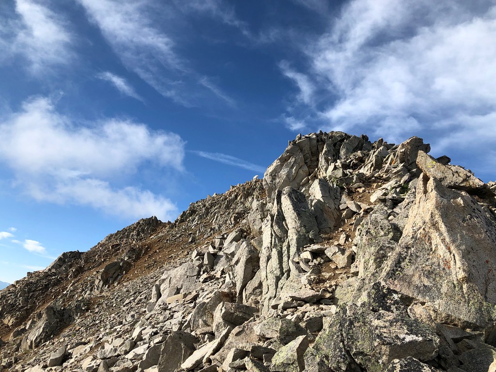 Three ApostlesHiking · ~10 min drivePhoto: supercraigtalbert, CC BY 2.0 (via Flickr)
 Star Lily Connector Trail 623Hiking · ~13 min drivePhoto: John Sowell, CC BY-SA 4.0 (via Wikimedia Commons)
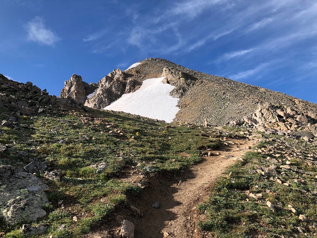 North HuronHiking · ~11 min drivePhoto: supercraigtalbert, CC BY 2.0 (via Flickr)
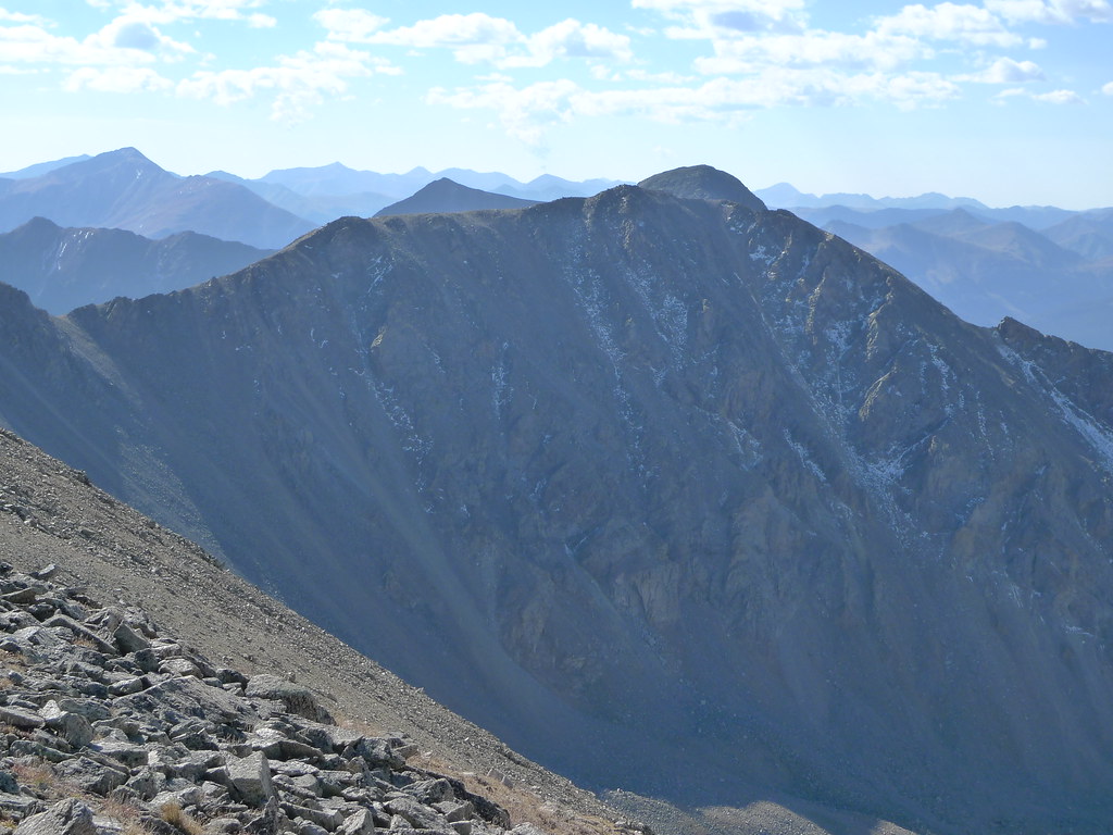 Missouri Mtn - Clohseys LakeHiking · ~15 min drivePhoto: jl_2, CC BY-SA 2.0 (via Flickr)

