Prospector Bouldering
 Photo: schvin, CC BY 2.0 (via Flickr)
- 1.5 mi
- round trip
- 159 ft
- climb
- 9,316 ft
- high point
- Out and back
- route
- Jun–Jul
- best months
Caution today
Agency alerts are in effect for this area; weather is good · USFS, OpenWeather · checked 7 h ago
Is Prospector Bouldering open right now?
Alert in the area
The Forest Service lists 6 alerts for White River National Forest.
FSR 286, Radical Hill, is closed due to washouts and unsafe conditions
Agency alert covering White River National Forest · USFS · White River National Forest
Limited parking at Snowmass Creek Trailhead
Agency alert covering White River National Forest · USFS · White River National Forest
Grizzly Creek Trail Closure
Agency alert covering White River National Forest · Order 2026-02 · USFS · White River National Forest
Ruedi Marina Day Use area Dump Station is CLOSED
Agency alert covering White River National Forest · USFS · White River National Forest
Asbestos safety closure - Camp Hale
Agency alert covering White River National Forest · USFS · White River National Forest
As of · Source: USFS · White River National Forest. Agencies don't list every closure — check before you go.
Prospector Bouldering is an easy hike of about 1.5 miles on a natural-surface trail in the Dillon Ranger District of White River National Forest in Colorado, managed by the Forest Service. The route is an out-and-back that gains about 160 feet, with the low point at 9,212 feet and the high at 9,316 feet. Summer is the most comfortable time to go. Typical averages from a nearby weather station at Dillon put July highs around 75°F with lows near 38°F, while winter highs stay in the low 30s. The trail is open to both horses and bikes. Windy Point and the Swan Mountain Road climbing area are each about 0.2 miles away, and Lowry Campground is about 0.3 miles off. Dillon Reservoir, about 1.2 miles away, offers lake fishing.
Go with a guide
- Mineral Belt Trail Guided WalkRoamze · $25 per person · 28 mi away
- Lostfork Basecamp22 mi away
Best time to go · Jun–Jul
Best time to visit Prospector Bouldering
Best months: June–July. Best months have typical highs of 55–85 °F, lows of 30 °F or warmer (32 °F where the station doesn't record snow), at most one snowy day and no more than 12 wet days.
Jan
31° / 1°
12 wet
Feb
33° / 4°
11 wet
Mar
41° / 10°
11 wet
Apr
47° / 18°
11 wet
May
58° / 26°
10 wet
Jun
69° / 33°
9 wet
Jul
75° / 38°
12 wet
Aug
73° / 37°
13 wet
Sep
66° / 30°
10 wet
Oct
54° / 21°
8 wet
Nov
41° / 11°
9 wet
Dec
32° / 3°
11 wet
Typical high / low (°F) and days with rain or snow, 1991–2020. Measured at Dillon 1 E, CO, 2 mi away at 9,065 ft. This station doesn't record snowfall. Source: NOAA NCEI U.S. Climate Normals 1991–2020.
Keep exploring — more trails worth the drive
 Photo: Tony Webster, CC BY 2.0 (via Flickr)
Windy Point
Next door
3.55-mile out-and-back trail in Colorado with 35 ft of elevation gain.
Photo: Tony Webster, CC BY 2.0 (via Flickr)Wagon Wheel
~1 min drive
0.69-mile out-and-back trail in Colorado's White River National Forest with 10 ft of elevation gain.
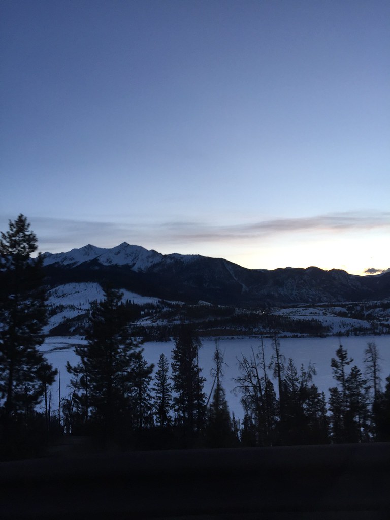 Photo: zappowbang, CC BY-SA 2.0 (via Flickr)
Frisco - Breckenridge Rec Path
~4 min drive
11.30-mile out-and-back trail from Frisco to Breckenridge with 422 ft gain.
 Photo: zappowbang, CC BY-SA 2.0 (via Flickr)
Swan Mtn Bike Path
~1 min drive
3.27-mile out-and-back bike path in Colorado on White River National Forest.
Photo: zappowbang, CC BY-SA 2.0 (via Flickr)Sapphire Point Trail
~1 min drive
0.57-mile loop in Colorado's White River National Forest with 50 ft gain.
Photo: Tony Webster, CC BY 2.0 (via Flickr)Soda Creek
~2 min drive
7.12-mile out-and-back trail in Colorado's White River National Forest with 396 ft gain.
Photo: schvin, CC BY 2.0 (via Flickr)Meadow Loop Trail
~2 min drive
1.1-mile out-and-back trail in Colorado with 385 ft elevation gain.
 Photo: jjes84, CC BY 2.0 (via Flickr)
Ridge Trail
~3 min drive
2.76-mile out-and-back Ridge Trail in Colorado gains 1,096 ft.
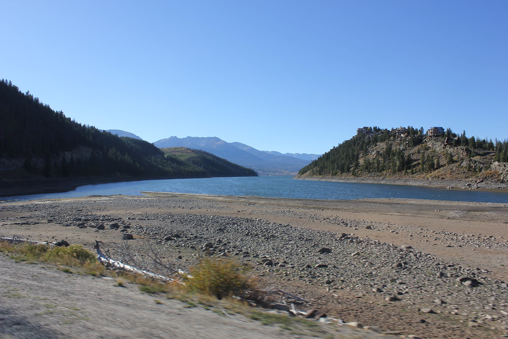 Photo: TexasExplorer98, CC BY 2.0 (via Flickr)
Whispering Pines Trail
~2 min drive
1.48-mile out-and-back trail in Colorado with 412 ft elevation gain
Photo: TexasExplorer98, CC BY 2.0 (via Flickr)Sage Trail
~2 min drive
1.09-mile out-and-back hike with 200 ft gain in Colorado sagebrush.

