Frisco Area
Campground
Campground · 1.0 mi from the trail
Alert in the area
The Forest Service lists 6 alerts for White River National Forest.
FSR 286, Radical Hill, is closed due to washouts and unsafe conditions
Agency alert covering White River National Forest · USFS · White River National Forest
Limited parking at Snowmass Creek Trailhead
Agency alert covering White River National Forest · USFS · White River National Forest
Grizzly Creek Trail Closure
Agency alert covering White River National Forest · Order 2026-02 · USFS · White River National Forest
Ruedi Marina Day Use area Dump Station is CLOSED
Agency alert covering White River National Forest · USFS · White River National Forest
Asbestos safety closure - Camp Hale
Agency alert covering White River National Forest · USFS · White River National Forest
As of · Source: USFS · White River National Forest. Agencies don't list every closure — check before you go.
Peak One is a 3.98-mile out-and-back trail in Colorado's White River National Forest with 2,223 feet of elevation gain. The route reaches a maximum elevation of 12,793 feet.
Frisco Area
Campground
 If it rainsJeremy Olson, CC BY-SA 4.0 · Wikimedia Commons
Places © OpenStreetMap contributors · Photos: Jeremy Olson, CC BY-SA 4.0 (commons)
More in LeadvilleNo month here meets our mild-weather rule. Best months have typical highs of 55–85 °F, lows of 30 °F or warmer (32 °F where the station doesn't record snow), at most one snowy day and no more than 12 wet days.
Jan
27° / 3°
15 wet · 15 snow
Feb
29° / 3°
15 wet · 15 snow
Mar
35° / 8°
14 wet · 14 snow
Apr
40° / 15°
13 wet · 13 snow
May
49° / 25°
10 wet · 8 snow
Jun
61° / 34°
8 wet · 2 snow
Jul
67° / 40°
13 wet
Aug
64° / 39°
15 wet
Sep
58° / 32°
11 wet · 2 snow
Oct
47° / 21°
9 wet · 7 snow
Nov
35° / 11°
12 wet · 12 snow
Dec
27° / 3°
15 wet · 15 snow
Typical high / low (°F) and days with rain or snow, 1991–2020. Measured at Climax, CO, 14.2 mi away at 11,344 ft. The station sits about 1,400 ft lower than this place, so expect it a little cooler here. Source: NOAA NCEI U.S. Climate Normals 1991–2020.
Water not available at Peak One, Lowry, Prospector, Windy Point and Marvine Campgrounds
White River National Forest · Order dated May 15, 2026; seen Aug 23, 2026 → lifted Sep 11, 2026 · Forest Service
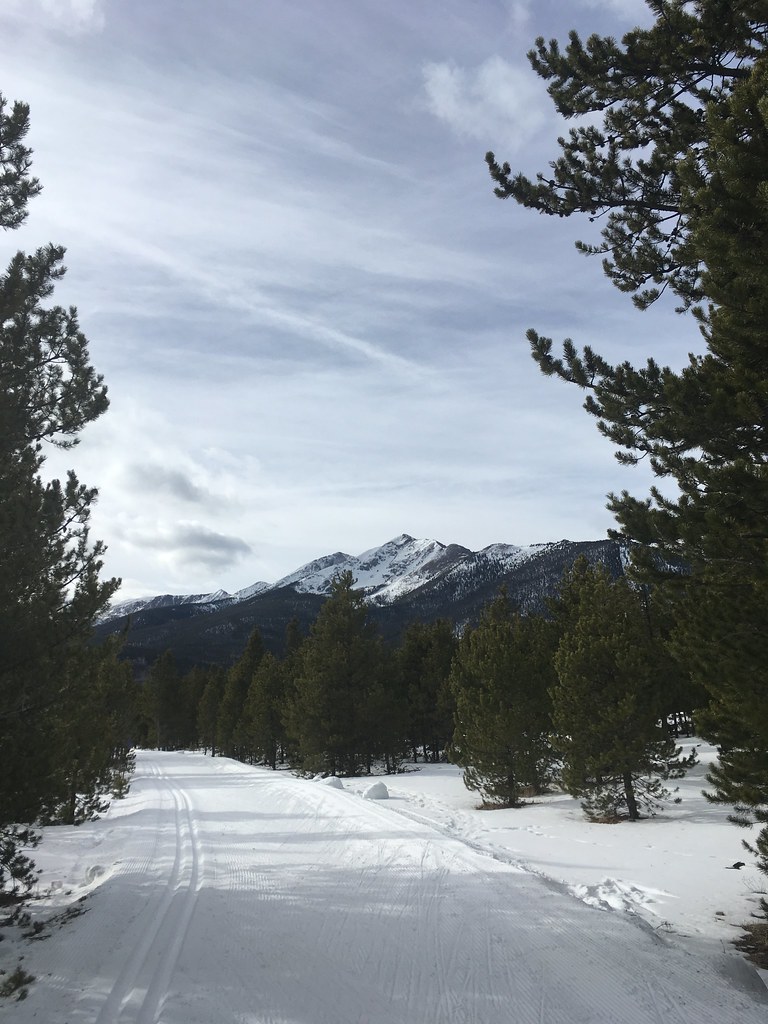 Photo: christinejwarner, CC BY 2.0 (via Flickr)
South Rainbow
~2 min drive
2.70-mile out-and-back trail in Colorado with 694 ft elevation gain.
Photo: christinejwarner, CC BY 2.0 (via Flickr)Trail near Ophir Mountain
~3 min drive
3.61-mile out-and-back hike near Ophir Mountain, Colorado with 1,388 ft gain.
 Photo: Roman Eugeniusz, CC BY-SA 3.0 (via Wikimedia Commons)
Frisco-Keystone Bike Path
~4 min drive
4.53-mile out-and-back bike path from Frisco to Keystone, Colorado.
 Photo: Hamradio, CC BY 3.0 (via Wikimedia Commons)
Trail near Bills Ranch Lake
~2 min drive
0.16-mile out-and-back trail near Bills Ranch Lake in Colorado.
HIKE
Peaks Trail
~1 min drive
15.36-mile out-and-back hike in Colorado's White River National Forest with 1,134 ft gain.
 Photo: christinejwarner, CC BY 2.0 (via Flickr)
Gifford Pinchot
~4 min drive
4.37-mile out-and-back trail in Colorado's White River National Forest with 864 ft gain.
Photo: christinejwarner, CC BY 2.0 (via Flickr)Trail near Bills Ranch Lake
~3 min drive
1.00-mile out-and-back trail near Bills Ranch Lake in Colorado with 80 ft of elevation gain.
HIKE
Meadow Creek
~3 min drive
8.77-mile out-and-back trail in Colorado's White River National Forest with 2,347 ft gain.
HIKE
Mount Royal Trail
~1 min drive
3.45-mile out-and-back hike in Colorado's White River National Forest with 1,382 ft gain.
 Photo: D BREW, CC BY-SA 3.0 (via Wikimedia Commons)
Trail near Bills Ranch Lake
~3 min drive
0.18-mile out-and-back trail near Bills Ranch Lake in Colorado.
Park at Rainbow Lake Trailhead.
Season: Year-round.
About 4.0 mi round trip from Rainbow Lake Trailhead (about 10,343 ft).
About 2,223 ft of climbing round trip.
It is rated hard.
Rainbow Lake Trailhead (about 10,343 ft).
Year-round.
Daily highs and lows, wind and the chance of precipitation at the summit and route start for the next 7 days, from the Open-Meteo model.


