Palisade Plunge
- 13.8 mi
- round trip
- 755 ft
- climb
- 9,900 ft
- high point
- Out and back
- route
Palisade Plunge is a hard, out-and-back hike in Colorado's Grand Valley Ranger District, part of the Grand Mesa, Uncompahgre and Gunnison National Forests. It stretches about 13.8 miles, rising from 8,069 feet to 9,900 feet, with a total elevation gain of about 755 feet. The trail is a natural-surface route, and horses are allowed. It is not an accessible trail. The most comfortable time to go is summer. A nearby weather station at roughly the same elevation records typical July averages of about 68°F for highs and 42°F for lows. Winters are severe, with typical January highs around 26°F and lows near 6°F. The hike starts at Shirttail Point Trailhead and is open year-round. Climbers will find Misspent Youth Wall and Paleosol Wall within a few tenths of a mile. For another day, Coal Creek Basin and Whitewater Basin lie about a mile and a half away.
- Misspent Youth WallRock climbing0.2 mi
- Paleosol WallRock climbing0.3 mi
- Beyond Civilization WallRock climbing1 mi
- Coal Creek BasinHiking1.3 mi
- SwitchbackHiking1.3 mi
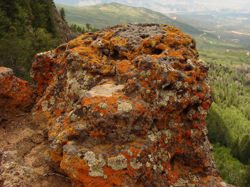 Whitewater BasinHikingPhoto: iagoarchangel, CC BY-SA 2.0 (via Flickr)1.6 mi
- Moose Manor CabinCamping6.6 mi
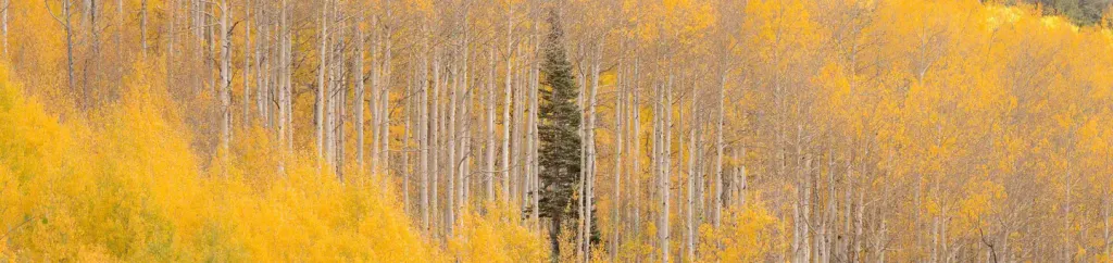 Jumbo CampgroundCampingPhoto: Recreation.gov (RIDB) / public domain6.8 mi
Source: Roamze catalog (indexable pages within 10 miles, PostGIS distance)
Map and trail data © OpenStreetMap contributors
