Ansel Watrous Campground
Campground
Campground · 8.0 mi from the trail
The OT Trail is a short, easy hike in Colorado's Eagle's Nest Open Space, a county-managed open space unit. The trail is about 1.6 miles long and gains about 200 feet in elevation, making it a gentle outing that can be done in roughly half an hour. Summer is the most comfortable time to go. Typical averages from a nearby weather station show July highs around 79°F with lows near 56°F, while winter highs sit around 40°F. The Triple Bar Trail lies just 0.4 miles away, and the Seaman Trail is about 4.2 miles off. Climbers can head to the Fort Collins climbing area, about 3.7 miles away, or Granite Sea, about 4.6 miles away.
Ansel Watrous Campground
Campground
Mishawaka Ampetheatre
Restaurant
Homestead Museum
Museum
Places © OpenStreetMap contributors
More in Red Feather LakesNot on Roamze yet. Their page has how to reach them.
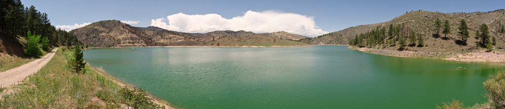 Seaman TrailHikingPhoto: USDAgov, Public Domain Mark (via Flickr)4.2 mi
 Granite SeaRock climbingPhoto: kalestews, CC BY 2.0 (via Flickr)4.6 miWintersteen TrailHikingPhoto: kalestews, CC BY 2.0 (via Flickr)4.7 mi
Source: Roamze catalog (indexable pages within 10 miles, PostGIS distance)
Seaman TrailHiking · ~7 min drivePhoto: USDAgov, Public Domain Mark (via Flickr)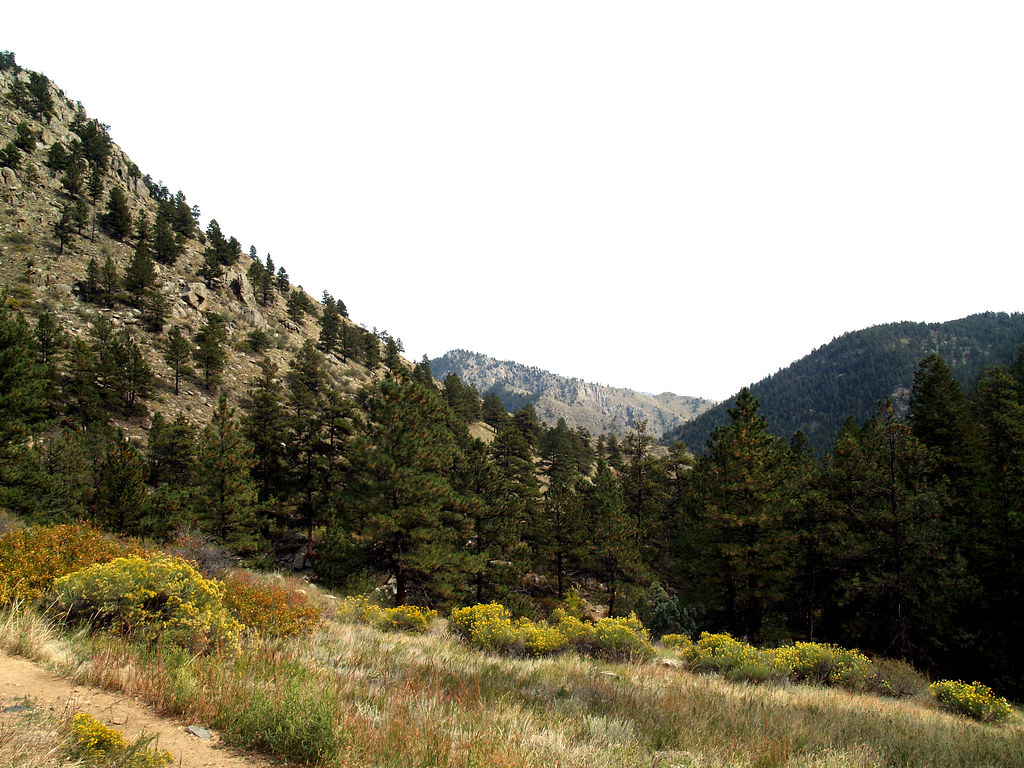 Greyrock MeadowsHiking · ~10 min drivePhoto: charkesw, CC BY 2.0 (via Flickr)
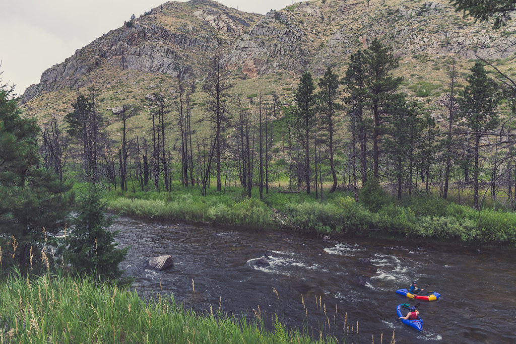 Hewlett GulchHiking · ~12 min drivePhoto: Tony Webster, CC BY 2.0 (via Flickr)Wintersteen TrailHiking · ~8 min drivePhoto: kalestews, CC BY 2.0 (via Flickr)Falls Gulch TrailHiking · ~13 min drivePhoto: Tony Webster, CC BY 2.0 (via Flickr)
 Foothills TrailHiking · ~20 min drivePhoto: Mountain Roamer, CC BY-SA 2.0 (via Flickr)
Also worth it near here
Best months: May–October. Best months have typical highs of 55–85 °F, lows of 30 °F or warmer (32 °F where the station doesn't record snow), at most one snowy day and no more than 12 wet days.
Jan
40° / 21°
5 wet
Feb
40° / 20°
6 wet
Mar
47° / 26°
8 wet
Apr
51° / 30°
10 wet
May
60° / 39°
12 wet
Jun
72° / 49°
11 wet
Jul
79° / 56°
11 wet
Aug
78° / 55°
11 wet
Sep
70° / 47°
8 wet
Oct
57° / 36°
7 wet
Nov
47° / 28°
6 wet
Dec
40° / 20°
6 wet
Typical high / low (°F) and days with rain or snow, 1991–2020. Measured at Buckhorn Mtn 1 E, CO, 11.1 mi away at 7,400 ft. We don't have this place's elevation, so higher spots nearby can run cooler. This station doesn't record snowfall. Source: NOAA NCEI U.S. Climate Normals 1991–2020.
Map and trail data © OpenStreetMap contributors

