North Ridge
- 7.8 mi
- round trip
- 1,111 ft
- climb
- 9,849 ft
- high point
- Out and back
- route
- Jun–Jul, Sep
- best months
Is North Ridge open right now?
Closure in the area
There's a closure order in San Juan National Forest. It doesn't name North Ridge, so check the source for the area it covers (3 listed).
Travel is not advised to the San Juan NF
Agency closure covering San Juan National Forest · USFS · San Juan National Forest
Closures and dangerous conditions on roads, bridges, and trails from flooding
Agency closure covering San Juan National Forest · USFS · San Juan National Forest
Multiple roads and trails damaged by flooding on SJNF
Agency closure covering San Juan National Forest · USFS · San Juan National Forest
Bear Activity High Across San Juan National Forest
Agency alert covering San Juan National Forest · USFS · San Juan National Forest
West Fork Road and Bridge Closure Order
Agency alert covering Pagosa Ranger District · Order 02-13-06-25-19 · USFS · Pagosa Ranger District
As of · Source: USFS · San Juan National Forest. Agencies don't list every closure — check before you go.
North Ridge is a moderate out-and-back hike in Colorado's San Juan National Forest, on the Pagosa Ranger District. The trail starts at about 8,239 feet and climbs to a high point of 9,849 feet, with an elevation gain of 1,111 feet over the course of the 7.8-mile round trip. The Forest Service manages the land, and the route is natural-surfaced, which makes it suitable for horses. Summer is the most comfortable time to go. Typical averages from a nearby weather station show July highs around 76°F with lows near 42°F, while June and September run cooler. Winter brings frequent snow, with highs around 34°F and lows below zero in December and January. The trip runs from June 1 to September 30, so plan for a season hike. The closest neighbor is the Little Sand hike, about 0.8 miles away, and Williams Creek Campground sits about 4 miles off. Shaw Creek and Weminuche Creek, a canoeing spot, are both within a few miles.
- Little SandHiking0.8 mi
- Weminuche CreekCanoeing2.2 mi
- Shaw CreekHiking3 mi
- Sweet Willie BoulderRock climbing3.9 mi
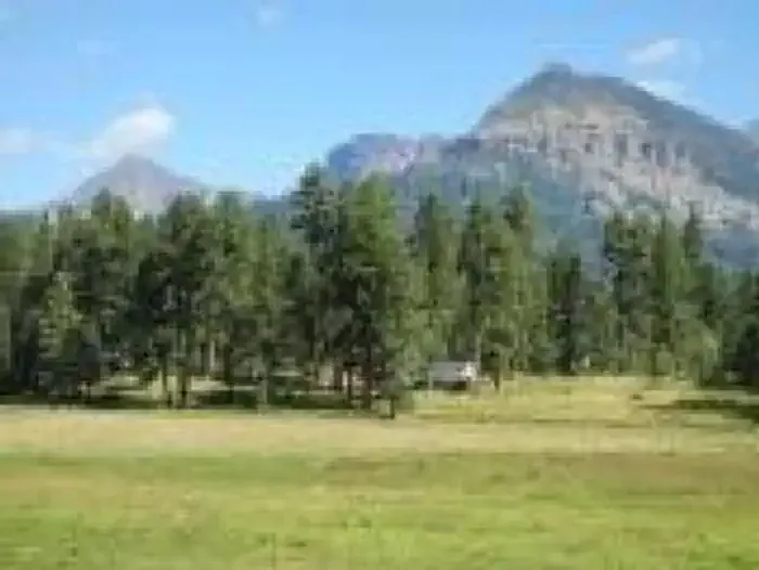 Williams Creek CampgroundCampingPhoto: Recreation.gov (RIDB) / public domain4 mi
- Teal CampgroundCamping4.1 mi
- Williams CreekCanoeing6.2 mi
- Piedra River - Upper West aka Never MindRock climbing7.2 mi
Source: Roamze catalog (indexable pages within 10 miles, PostGIS distance)
 Old Cave Basin TrailHiking · ~19 min drivePhoto: squeaks2569, CC BY-SA 2.0 (via Flickr)
- Little SandHiking · ~1 min drive
- Divide LakesHiking · ~13 min drive
- Granite LakeHiking · ~14 min drive
- Shaw CreekHiking · ~5 min drive
- Palisade MeadowsHiking · ~18 min drive
- Hossick LakeHiking · ~14 min drive
- Pine-PiedraHiking · ~7 min drive
- Devil MountainHiking · ~19 min drive
- MIDDLE MOUNTAINHiking · ~19 min drive
Best time to visit North Ridge
Best months: June–July and September. Best months have typical highs of 55–85 °F, lows of 30 °F or warmer (32 °F where the station doesn't record snow), at most one snowy day and no more than 12 wet days.
Jan
34° / -4°
4 wet · 4 snow
Feb
37° / -2°
4 wet · 4 snow
Mar
43° / 9°
5 wet · 5 snow
Apr
50° / 20°
6 wet · 5 snow
May
60° / 29°
5 wet · 2 snow
Jun
71° / 36°
5 wet
Jul
76° / 42°
11 wet
Aug
73° / 41°
13 wet
Sep
68° / 35°
9 wet
Oct
58° / 25°
6 wet · 2 snow
Nov
44° / 12°
4 wet · 3 snow
Dec
34° / -3°
4 wet · 3 snow
Typical high / low (°F) and days with rain or snow, 1991–2020. Measured at Rio Grande Rsvr, CO, 16 mi away at 9,492 ft. Source: NOAA NCEI U.S. Climate Normals 1991–2020.
