Morrison Trail
- 2.6 mi
- round trip
- 1,050 ft
- climb
- 9,738 ft
- high point
- Out and back
- route
Is Morrison Trail open right now?
Closure in the area
There's a closure order in San Juan National Forest. It doesn't name Morrison Trail, so check the source for the area it covers (3 listed).
Travel is not advised to the San Juan NF
Agency closure covering San Juan National Forest · USFS · San Juan National Forest
Closures and dangerous conditions on roads, bridges, and trails from flooding
Agency closure covering San Juan National Forest · USFS · San Juan National Forest
Multiple roads and trails damaged by flooding on SJNF
Agency closure covering San Juan National Forest · USFS · San Juan National Forest
Bear Activity High Across San Juan National Forest
Agency alert covering San Juan National Forest · USFS · San Juan National Forest
As of · Source: USFS · San Juan National Forest. Agencies don't list every closure — check before you go.
Morrison Trail is a 5.1-mile out-and-back hike in the Mancos/Dolores Ranger District of San Juan National Forest in Colorado. The Forest Service manages the land, and the route starts at roughly 9,700 feet, climbing to a high point of 9,738 feet before descending back to the trailhead. The total elevation gain is about 1,050 feet, and the steepest stretch comes at about 2.2 miles in, with a 21% grade. The trail is rated moderate. Plan for about two hours on foot. The route's middle-grade climb makes it a steady outing rather than a steep or technical challenge. The start and finish sit at nearly the same elevation, so the round trip balances gain and loss. Nearby, the Little Bear Pack Trail and Bear Creek lie within about a mile and a half. Climbers can find Hillside Drive in San Juan National Forest about 4.3 miles away, and Transfer Campground is roughly 6.5 miles off.
Local outfitters
- HTR Resorts23 mi away
- Alpen Rose RV Park24 mi away
Not on Roamze yet. Their page has how to reach them.
- Little Bear Pack TrailHiking1.3 mi
- Bear CreekHiking1.4 mi
- Hillside Drive in San Juan National ForestRock climbing4.3 mi
- Carly CragRock climbing4.7 mi
 Transfer Horse CampCampingPhoto: McGhiever, CC BY-SA 3.0 (via Wikimedia Commons)6.4 mi
- Transfer CampgroundCamping6.5 mi
- Lost Canyon CreekCanoeing9.1 mi
- West Mancos RiverCanoeing9.1 mi
Source: Roamze catalog (indexable pages within 10 miles, PostGIS distance)
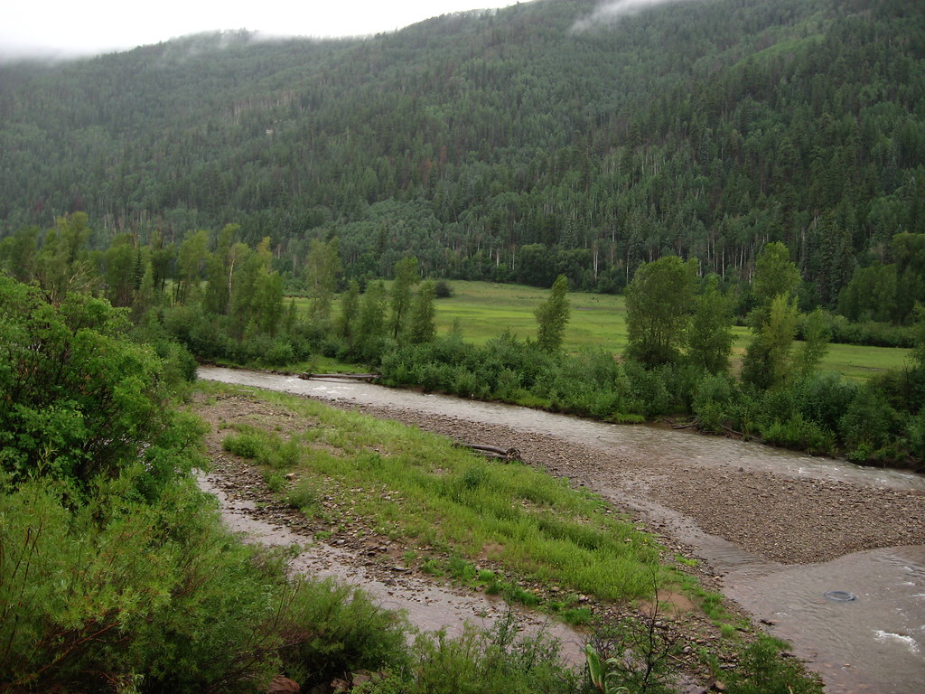 Little TaylorHiking · ~4 min drivePhoto: Ken Lund, CC BY-SA 2.0 (via Flickr)
- Little Bear Pack TrailHiking · ~2 min drive
- Pack Loop ConnectorHiking · ~4 min drive
- Calico South TrailHiking · ~5 min drive
 School HouseHiking · ~9 min drivePhoto: Sale Family Memories, CC BY 2.0 (via Flickr)
- MorrisonHiking · ~2 min drive
- Aspen Loop TrailHiking · ~6 min drive
- Priest Gulch TrailHiking · ~5 min drive
- Bear CreekHiking · ~2 min drive
- BC Rim TrailHiking · ~5 min drive

Map and trail data © OpenStreetMap contributors
