

San Luis Valley Campground
Hiking business nearby (~32 mi away) — hasn't claimed their Roamze page yet
Free — you'll pick up right here.
Watch this trail
Sign up to watch it — saving subscribes you to gate, closure and report changes.
Colorado
2.4 mi
Distance
2,212 ft
Gain
No agency boundary, access route or field report is mapped to it — so there is no verdict, and we won't guess. We'll tell you the moment this trail has something to say.
Covered nearby
Trails within 25 miles where we do have a current picture.
Nobody's filed a report here yet — be the first.
Why you'll love it
Little Sand Creek Lakes Trail
AI-suggested draft · review before you go
Little Sand Creek Lakes Trail is a 4.84-mile out-and-back hike in Colorado managed by the National Park Service. The trail gains 2,212 feet of elevation.
Sand Creek Basin
~4 min drive
Sand Creek Basin is part of the alpine watershed of Great Sand Dunes National Preserve. A longer drive and hike is required to reach these lakes and peaks, but the mountain scenery is worth the effort. Check with a ranger for conditions before travel. Snow may block these…
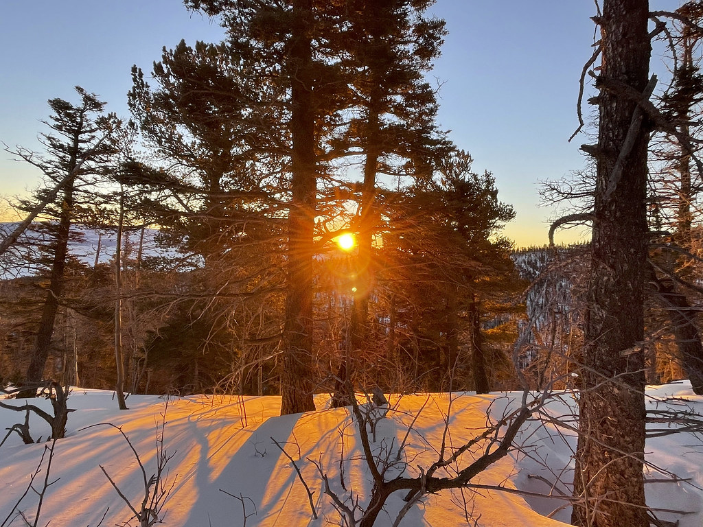 Photo: kalestews, CC BY 2.0 (via Flickr)
Crestolita Peak
~9 min drive
Route to the summit of Crestolita Peak (13,270 ft) from Upper South Colony Trailhead.
Hidden Dune
~15 min drive
Hidden Dune is currently tied with Star Dune as the two tallest dunes in North America at 741 feet/225 m. Hidden Dune is named for its remote location in the dunefield, where it is not visible from most of the main visitor day use areas. It is even hidden from much of the high…
Cottonwood Creek Trail
~8 min drive
3.86-mile out-and-back hike in Colorado with 1,489 ft elevation gain
Broken Hand Pass
~8 min drive
4.08-mile out-and-back trail in Colorado's Rio Grande National Forest with 1,929 ft gain.
 Photo: kalestews, CC BY 2.0 (via Flickr)
South Colony
~7 min drive
4.34-mile out-and-back trail in Colorado's Pike and San Isabel National Forests with 854 ft gain.
 Photo: Todd Dwyer, CC BY-SA 3.0 (via Wikimedia Commons)
Mount Adams
~16 min drive
Route to the summit of Mount Adams (13,937 ft) from Willow Creek Trailhead.
Upper Sand Creek Trail
~5 min drive
20.28-mile out-and-back trail in Colorado with 3,318 ft elevation gain.
Marble Mountain
~9 min drive
Route to the summit of Marble Mountain (13,258 ft) from South Colony 4WD Trailhead.
Copper Gulch trail
~13 min drive
3.08-mile out-and-back trail in Colorado with 1,633 ft gain/loss and 10,564 ft max elevation.
Also worth it near here
Local operatorsoffering guided trips. You book directly with them — Roamze doesn’t take a cut.
San Luis Valley Campground
Hiking business nearby (~32 mi away) — hasn't claimed their Roamze page yet
Journey Quest
Hiking business nearby (~35 mi away) — hasn't claimed their Roamze page yet
Black Bear Retreat
Hiking business nearby (~42 mi away) — hasn't claimed their Roamze page yet
