Meadow Trail
 Photo: lumenwilde, CC BY-SA 2.0 (via Flickr)
- 0.6 mi
- round trip
- 224 ft
- climb
- 6,583 ft
- high point
- Out and back
- route
- Apr–Jun, Aug–Oct
- best months
Meadow Trail is a short, easy hike in Stratton Open Space, a city-managed open space in Colorado. The trail is about 0.6 miles long and rises about 200 feet from its starting point, which sits at roughly 6,400 feet. The climb is front-loaded, with the steepest stretch near the beginning, and the trail turns back on itself, so the total round-trip gain is about 224 feet. For comfortable weather, aim for late spring or early fall. Typical averages from a nearby weather station in Colorado Springs show May highs around 71°F and September highs around 77°F, with July the warmest month at about 86°F. The trail sits close to other outdoor options. Cresta Trail is about 0.1 mile away, and the Arroyo Grande and Meadows Trail mountain biking routes are within a third of a mile. Climbers can find Seven Bridges about a mile off.
Local outfitters
- Broadmoor Outfitters1 mi away
- Gold Belt Tour Scenic and Historic Byway23 mi away
Not on Roamze yet. Their page has how to reach them.
- Cresta TrailHikingPhoto: lumenwilde, CC BY-SA 2.0 (via Flickr)0.1 mi
- Arroyo GrandeMountain biking0.2 mi
- Meadows TrailMountain biking0.3 mi
 Seven BridgesRock climbingPhoto: pmsyyz, CC BY-SA 2.0 (via Flickr)1 mi
- Company WallRock climbing1 mi
 Foot of the Rockies RV ResortCampingPhoto: CaroleHenson, CC BY-SA 3.0 (via Wikimedia Commons)2.2 mi
 Fountain CreekCanoeingPhoto: Cassandra from Columbus, Ohio, USA, CC BY 2.0 (via Wikimedia Commons)2.8 mi
- Goldfield CampgroundCamping2.9 mi
Source: Roamze catalog (indexable pages within 10 miles, PostGIS distance)
 Meadows TrailHiking · Next doorPhoto: lumenwilde, CC BY 2.0 (via Flickr)
- Columbine TrailHiking · ~1 min drivePhoto: lumenwilde, CC BY 2.0 (via Flickr)
 Captain Jacks Trail 667Hiking · ~2 min drivePhoto: Roman Eugeniusz, CC BY-SA 3.0 (via Wikimedia Commons)
- Meadows TrailHiking · Next doorPhoto: lumenwilde, CC BY-SA 2.0 (via Flickr)
 Spring CreekHiking · ~2 min drivePhoto: Roman Eugeniusz, CC BY-SA 3.0 (via Wikimedia Commons)
- Ridge TrailHiking · Next doorPhoto: lumenwilde, CC BY 2.0 (via Flickr)
 Section 16 (Alt. Trail)Hiking · ~3 min drivePhoto: CaroleHenson, CC BY-SA 3.0 (via Wikimedia Commons)
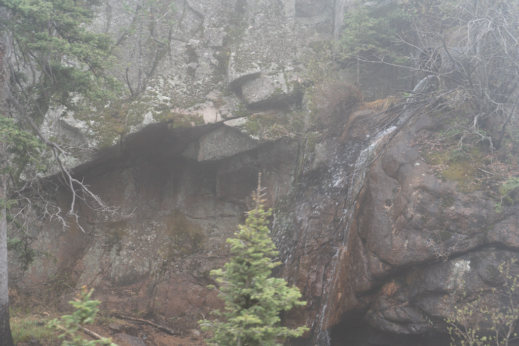 Wildflower PathHiking · Next doorPhoto: jjes84, CC BY 2.0 (via Flickr)
- Section 16 Trail / Palmer Red Rocks LoopHiking · ~3 min drivePhoto: CaroleHenson, CC BY-SA 3.0 (via Wikimedia Commons)
 Meadows TrailHiking · ~1 min drivePhoto: lumenwilde, CC BY 2.0 (via Flickr)
Also worth it near here
- Seven BridgesRock climbing · ~2 min drivePhoto: pmsyyz, CC BY-SA 2.0 (via Flickr)
 Mount CutlerSummit · ~2 min drivePhoto: Lance Cpl. Graham Benson, Public domain (via Wikimedia Commons)
 Seven FallsWaterfall · ~3 min drivePhoto: John Fowler from Placitas, NM, USA, CC BY 2.0 (via Wikimedia Commons)
- Foot of the Rockies RV ResortCamping · ~4 min drivePhoto: CaroleHenson, CC BY-SA 3.0 (via Wikimedia Commons)
Best time to visit Meadow Trail
Best months: April–June and August–October. Best months have typical highs of 55–85 °F, lows of 30 °F or warmer (32 °F where the station doesn't record snow), at most one snowy day and no more than 12 wet days.
Jan
45° / 18°
4 wet
Feb
46° / 20°
5 wet
Mar
55° / 27°
7 wet
Apr
61° / 34°
8 wet
May
71° / 44°
10 wet
Jun
82° / 53°
10 wet
Jul
86° / 58°
12 wet
Aug
84° / 57°
12 wet
Sep
77° / 49°
7 wet
Oct
65° / 37°
5 wet
Nov
53° / 26°
5 wet
Dec
45° / 19°
4 wet
Typical high / low (°F) and days with rain or snow, 1991–2020. Measured at Colorado Springs Muni Ap, CO, 9.5 mi away at 6,181 ft. This station doesn't record snowfall. Source: NOAA NCEI U.S. Climate Normals 1991–2020.
Map and trail data © OpenStreetMap contributors
