
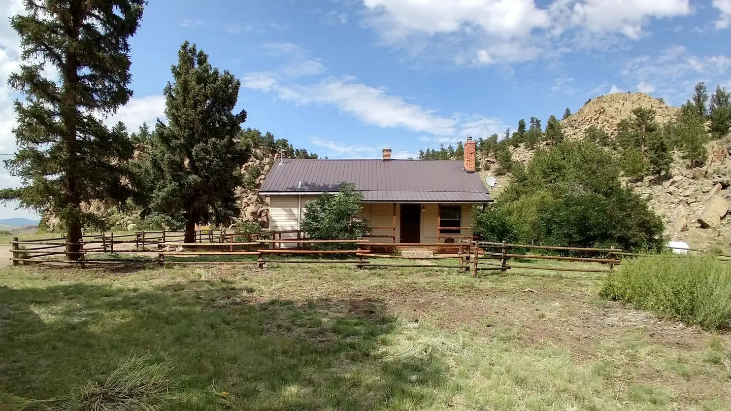
Monarch Spur RV Park
Hiking business nearby (~25 mi away) — hasn't claimed their Roamze page yet
Free — you'll pick up right here.
Watch this trail
Sign up to watch it — saving subscribes you to gate, closure and report changes.
Colorado
4.1 mi
Distance
286 ft
Gain
We won't guess. Here is exactly what we do and don't know.
What we do know
Inside Rio Grande National Forest
2 managing-area boundaries mapped — agency alerts for them feed this page automatically.
Boundary data
What's missing
No access route mapped
We don't yet know which road reaches this trailhead, so we can't tell you if it's gated.
Nobody's filed a report here yet — be the first.
Why you'll love it
Lower Sheep Creek
AI-suggested draft · review before you go
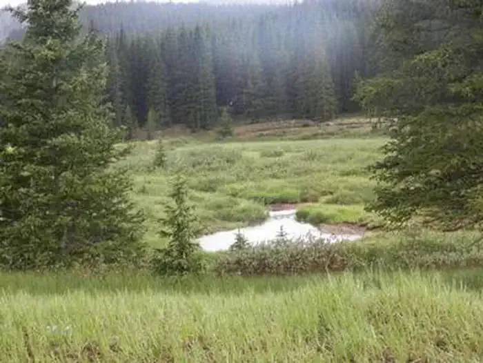
Lower Sheep Creek is a 4.1-mile out-and-back trail located in Colorado near Ouray, managed by the Grand Mesa, Uncompahgre and Gunnison National Forest's Ouray Ranger District. The trail provides access to the scenic Sheep Creek drainage in the heart of the San Juan Mountains region. This out-and-back route allows hikers to explore the creek environment at their own pace, with the flexibility to turn around at any point along the 4.1 miles. The trail follows Lower Sheep Creek, offering riparian scenery characteristic of high-elevation Colorado creek valleys. The area sits within the expansive GMUG National Forest, known for its diverse terrain and abundant water features. The trail's out-and-back format makes it straightforward for navigation and trip planning. Being managed by the Ouray Ranger District, the trail falls within a region popular for outdoor recreation and mountain activities. Lower Sheep Creek offers hikers access to one of the area's natural water corridors while remaining within the protected national forest lands.

Flagstaff
~30 min drive
6.8 mi · Hard

Waterdog Lakes
~37 min drive
3.2 mi · Easy

Unknown Creek
~42 min drive
5.5 mi · Moderate
Elk Horn
~33 min drive
6.8 mi · Hard

Waunita Short Cut Sno
~41 min drive
2.0 mi · Easy
Sheep Creek
~1 min drive
8.7 mi · Moderate
Waunita Pass Sno
~42 min drive
18 mi · Hard

Miners Creek
~41 min drive
1.0 mi · Easy
Tank Seven
~19 min drive
2.9 mi · Moderate
Whale Creek
~42 min drive
11 mi · Hard
Local operatorsoffering guided trips. You book directly with them — Roamze doesn’t take a cut.
Monarch Spur RV Park
Hiking business nearby (~25 mi away) — hasn't claimed their Roamze page yet
San Luis Valley Campground
Hiking business nearby (~29 mi away) — hasn't claimed their Roamze page yet
Four Seasons RV Park
Hiking business nearby (~34 mi away) — hasn't claimed their Roamze page yet