Lower Rusty Lung Trail
- 0.5 mi
- distance
- 223 ft
- climb
- 7,287 ft
- high point
- Lollipop
- route
- May–Jun, Aug–Sep
- best months
Lower Rusty Lung Trail is a short, easy hike on Bureau of Land Management land in the Royal Gorge Field Office, about half a mile long and roughly 220 feet of elevation gain. It starts at about 7,287 feet and ends at about 7,154 feet, so the trail is a little more descent than ascent. The steepest part comes at about a quarter mile in, with a grade of about 11 percent. For comfortable weather, aim for late spring or early fall. Typical averages from the nearby Salida weather station show May highs around 70°F and September highs around 77°F, while July averages about 86°F and winter highs sit in the low 40s. The trail sits close to several mountain biking routes, including the Poblano Trail, Hatch Trail and the Rusty Lung trail, all within about a fifth of a mile. For an overnight stay, Riverside RV Park is about 2.4 miles away.
Local outfitters
- Four Seasons RV Park3 mi away
- Black Bear Retreat10 mi away
Not on Roamze yet. Their page has how to reach them.
- Poblano TrailMountain biking0.2 mi
- Hatch TrailMountain biking0.2 mi
- Rusty LungMountain biking0.2 mi
- Riverside RV ParkCamping2.4 mi
 Four Seasons RV ParkCampingPhoto: Ken Lund from Reno, Nevada, USA, CC BY-SA 2.0 (via Wikimedia Commons)2.8 mi
- SouthRock climbing7.2 mi
- Hecla Junction NorthRock climbing8.4 mi
 South Arkansas RiverCanoeingPhoto: Jeffrey Beall, CC BY 4.0 (via Wikimedia Commons)9.2 mi
Source: Roamze catalog (indexable pages within 10 miles, PostGIS distance)
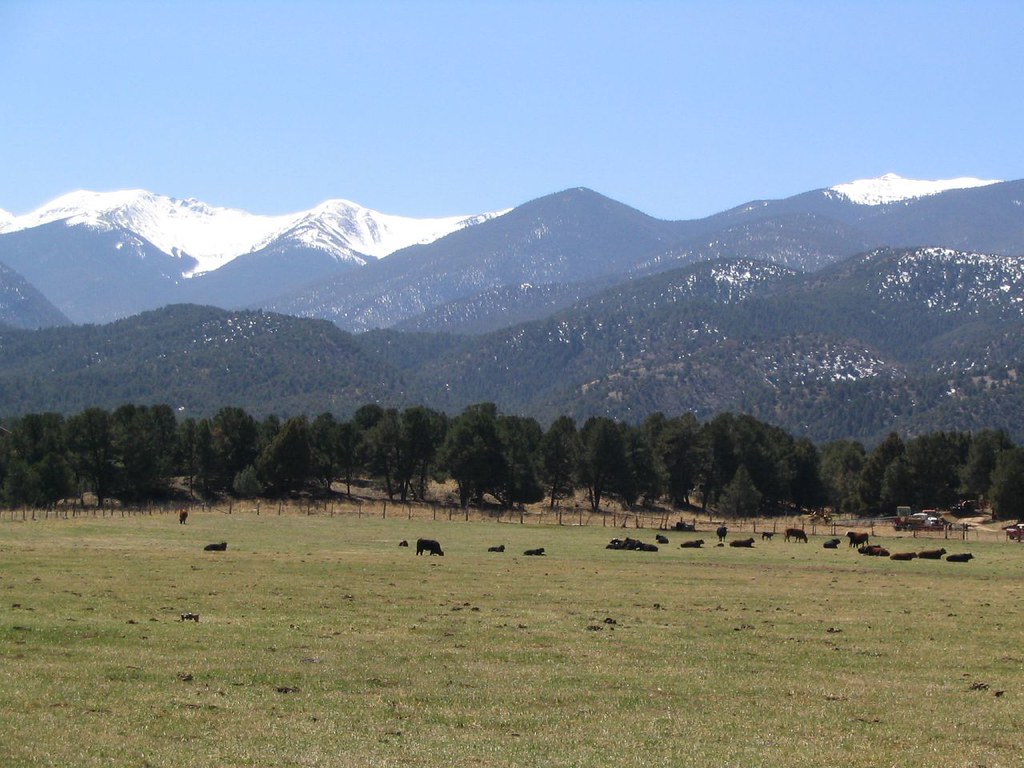 Labyrinth TrailHiking · ~2 min drivePhoto: Ken Lund, CC BY-SA 2.0 (via Flickr)
- Chicken Dinner TrailHiking · ~3 min drivePhoto: Ken Lund, CC BY-SA 2.0 (via Flickr)
- Simmons PeakHiking · ~13 min drive
 Pole Line TrailHiking · ~4 min drivePhoto: Ken Lund from Reno, Nevada, USA, CC BY-SA 2.0 (via Wikimedia Commons)
- Dream On TrailHiking · ~3 min drivePhoto: Ken Lund, CC BY-SA 2.0 (via Flickr)
- Pano TrailHiking · Next door
- Poblano TrailHiking · Next door
- Rusty Lung TrailHiking · Next door
- Burn Pile TrailHiking · Next door
- Salida River TrailHiking · Next door
Best time to visit Lower Rusty Lung Trail
Best months: May–June and August–September. Best months have typical highs of 55–85 °F, lows of 30 °F or warmer (32 °F where the station doesn't record snow), at most one snowy day and no more than 12 wet days.
Jan
43° / 11°
2 wet
Feb
46° / 15°
2 wet
Mar
54° / 21°
4 wet
Apr
60° / 28°
5 wet
May
70° / 35°
5 wet
Jun
82° / 43°
5 wet
Jul
86° / 49°
8 wet
Aug
83° / 47°
10 wet
Sep
77° / 39°
6 wet
Oct
65° / 29°
4 wet
Nov
53° / 20°
3 wet
Dec
43° / 13°
3 wet
Typical high / low (°F) and days with rain or snow, 1991–2020. Measured at Salida, CO, 1.6 mi away at 7,160 ft. This station doesn't record snowfall. Source: NOAA NCEI U.S. Climate Normals 1991–2020.
Map and trail data © OpenStreetMap contributors
