Little Elk Basin
- 12.2 mi
- round trip
- 3,321 ft
- climb
- 10,075 ft
- high point
- Out and back
- route
- Jun–Aug
- best months
Is Little Elk Basin open right now?
Closure in the area
There's a closure order in Grand Mesa, Uncompahgre and Gunnison National Forests. It doesn't name Little Elk Basin, so check the source for the area it covers (2 listed).
Gold Mountain Wildfire Roads and Trails Closure Order v 4.0
Agency closure covering Grand Mesa, Uncompahgre and Gunnison National Forests · USFS · Grand Mesa, Uncompahgre and Gunnison National Forests
Ophir Pass Road Closure
Agency closure covering Grand Mesa, Uncompahgre and Gunnison National Forests · USFS · Grand Mesa, Uncompahgre and Gunnison National Forests
Potter Basin Road Closure Order
Agency alert covering Grand Mesa, Uncompahgre and Gunnison National Forests · USFS · Grand Mesa, Uncompahgre and Gunnison National Forests
Beaver Park Road Closure Order
Agency alert covering Grand Mesa, Uncompahgre and Gunnison National Forests · USFS · Grand Mesa, Uncompahgre and Gunnison National Forests
TERMINATION OF ORDER - FIRE RESTRICTIONS
Agency alert covering Grand Mesa, Uncompahgre and Gunnison National Forests · USFS · Grand Mesa, Uncompahgre and Gunnison National Forests
As of · Source: USFS · Grand Mesa, Uncompahgre and Gunnison National Forests. Agencies don't list every closure — check before you go.
Little Elk Basin is a hard hike in Colorado's West Elk Wilderness, within the Paonia Ranger District of the Grand Mesa, Uncompahgre and Gunnison National Forests. The route is an out-and-back that climbs from about 7,973 feet to about 10,075 feet, with a total elevation gain of 3,321 feet over roughly 12 miles. The Forest Service manages the land, and the trail is natural-surface and open to horses. Summer is the most comfortable time to go. Typical averages from a nearby weather station at Crested Butte, which sits about 1,200 feet lower, show July highs around 76°F and lows near 40°F, with September still reaching about 66°F. Winter is severe, with January highs in the mid-20s and lows below zero. The trail is open from July 1 to September 30. Several other hikes lie within a few miles, including Throughline and Lone Pine at about 2.2 miles and Trail 860A at about 2.5 miles. For an overnight base, Clear Fork Campground is about 8.8 miles away.
Local outfitters
- Cedar Creek RV Park and Lodging28 mi away
- Maroon Bells Guide and Outfitters42 mi away
Not on Roamze yet. Their page has how to reach them.
- ThroughlineHiking2.2 mi
- Lone PineHiking2.2 mi
 Trail 860AHikingPhoto: Blake Patterson from Alexandria, VA, USA, CC BY 2.0 (via Wikimedia Commons)2.5 mi
- Lone Cabin Tie-InHiking3.3 mi
- Coal Creek TrailHiking3.4 mi
- Coal CreekCanoeing8.5 mi
- Clear Fork CampgroundCamping8.8 mi
- Iron Creek CampgroundCamping9.1 mi
Source: Roamze catalog (indexable pages within 10 miles, PostGIS distance)
- Trail 860AHiking · ~4 min drivePhoto: Blake Patterson from Alexandria, VA, USA, CC BY 2.0 (via Wikimedia Commons)
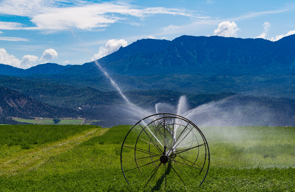 Indian Fire Nature TrailHiking · ~16 min drivePhoto: Tony Webster, CC BY 2.0 (via Flickr)
- ThroughlineHiking · ~4 min drive
- Sink CreekHiking · ~7 min drive
- CurecantiHiking · ~7 min drive
- West Shore TrailHiking · ~16 min drivePhoto: Tony Webster, CC BY 2.0 (via Flickr)
- Lone PineHiking · ~4 min drive
- Needle Rock TrailHiking · ~8 min drive
- Lone Cabin Tie-InHiking · ~6 min drive
- Lone Cabin TrailHiking · ~6 min drive
Best time to visit Little Elk Basin
Best months: June–August. Best months have typical highs of 55–85 °F, lows of 30 °F or warmer (32 °F where the station doesn't record snow), at most one snowy day and no more than 12 wet days.
Jan
26° / -7°
12 wet
Feb
29° / -2°
11 wet
Mar
38° / 7°
10 wet
Apr
47° / 19°
9 wet
May
58° / 28°
8 wet
Jun
70° / 34°
7 wet
Jul
76° / 40°
10 wet
Aug
74° / 38°
12 wet
Sep
66° / 31°
9 wet
Oct
54° / 22°
8 wet
Nov
39° / 9°
9 wet
Dec
27° / -4°
11 wet
Typical high / low (°F) and days with rain or snow, 1991–2020. Measured at Crested Butte, CO, 27.9 mi away at 8,867 ft. The station sits about 1,200 ft lower than this place, so expect it a little cooler here. This station doesn't record snowfall. Source: NOAA NCEI U.S. Climate Normals 1991–2020.


