Lips Bluff Trail
 Photo: KimonBerlin, CC BY-SA 2.0 (via Flickr)
- 1.0 mi
- round trip
- 293 ft
- climb
- 5,361 ft
- high point
- Out and back
- route
- May–Jun, Sep–Oct
- best months
Is Lips Bluff Trail open right now?
Alert in the area
The Forest Service lists an alert for Arapaho and Roosevelt National Forests.
Fire Restrictions
Agency alert covering Arapaho and Roosevelt National Forests · USFS · Arapaho and Roosevelt National Forests
As of · Source: USFS · Arapaho and Roosevelt National Forests. Agencies don't list every closure — check before you go.
Lips Bluff Trail is a short, easy out-and-back hike in the Pawnee Ranger District of the Arapaho and Roosevelt National Forests in Colorado, managed by the Forest Service. The trail is about a mile long, with a total elevation gain of about 290 feet, and it starts and ends at roughly 5,240 feet, reaching a high point of about 5,361 feet. The climb is rolling, and the steepest stretch comes early, around 0.1 mile from the start, with a grade of about 9 percent. The trail is a quick outing, and the trip is estimated to take about an hour. For comfortable weather, late spring and early fall are the best bets. Typical averages from a nearby weather station at New Raymer put May highs around 68°F and September highs around 77°F, with July peaking near 87°F. The Buttes hike lies about half a mile away, and the Pawnee Grasslands climbing area is under a mile off.
 ButtesHikingPhoto: indigoprime, CC BY 2.0 (via Flickr)0.5 mi
 Pawnee GrasslandsRock climbingPhoto: KimonBerlin, CC BY-SA 2.0 (via Flickr)0.8 mi
Source: Roamze catalog (indexable pages within 10 miles, PostGIS distance)
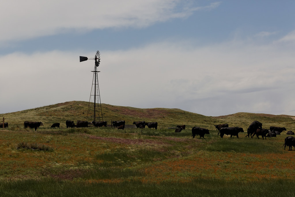 Buttes TrailHiking · Next doorPhoto: KimonBerlin, CC BY-SA 2.0 (via Flickr)
- ButtesHiking · Next doorPhoto: indigoprime, CC BY 2.0 (via Flickr)
 Fishing Pond LoopHiking · ~1h 8m drivePhoto: Barbara Brannon, CC BY 2.0 (via Flickr)
 Sheep Draw Natural Area TrailHiking · ~1h 24m drivePhoto: greeleygov, Public Domain Mark (via Flickr)
- Signature Bluffs TrailHiking · ~1h 25m drivePhoto: greeleygov, Public Domain Mark (via Flickr)
- Cvra Mourning Dove TrailHiking · ~38 min drive
- Lakeside to Swimbeach TrailHiking · ~53 min drive
- Swim Beach TrailHiking · ~1h 4m drive
- South Shoreline TrailHiking · ~1h 4m drive
- Dam TrailHiking · ~1h 4m drive
Best time to visit Lips Bluff Trail
Best months: May–June and September–October. Best months have typical highs of 55–85 °F, lows of 30 °F or warmer (32 °F where the station doesn't record snow), at most one snowy day and no more than 12 wet days.
Jan
41° / 14°
4 wet
Feb
42° / 15°
5 wet
Mar
52° / 23°
6 wet
Apr
59° / 29°
9 wet
May
68° / 39°
12 wet
Jun
80° / 49°
10 wet
Jul
87° / 55°
10 wet
Aug
86° / 53°
9 wet
Sep
77° / 44°
7 wet
Oct
62° / 32°
6 wet
Nov
50° / 21°
5 wet
Dec
41° / 14°
4 wet
Typical high / low (°F) and days with rain or snow, 1991–2020. Measured at New Raymer 21 N, CO, 10 mi away at 5,180 ft. This station doesn't record snowfall. Source: NOAA NCEI U.S. Climate Normals 1991–2020.

Map and trail data © OpenStreetMap contributors
