Cvra Mourning Dove Trail
- 0.4 mi
- round trip
- 53 ft
- climb
- 4,840 ft
- high point
- Out and back
- route
- Apr–Jun, Sep–Oct
- best months
Is Cvra Mourning Dove Trail open right now?
Alert in the area
The Forest Service lists an alert for Arapaho and Roosevelt National Forests.
Fire Restrictions
Agency alert covering Arapaho and Roosevelt National Forests · USFS · Arapaho and Roosevelt National Forests
As of · Source: USFS · Arapaho and Roosevelt National Forests. Agencies don't list every closure — check before you go.
The Cvra Mourning Dove Trail is a short, easy hike in the Pawnee Ranger District of the Arapaho and Roosevelt National Forests in Colorado, managed by the Forest Service. The trail is about 0.4 miles long, with a total climb of 53 feet, and it follows a flat route that reaches a high point of 4840 feet. The round trip is roughly 0.8 miles, and the trail is an out-and-back from the Trail of the Mourning Dove Trailhead. The most comfortable months for a visit are late spring and early fall. Typical averages from the nearby Briggsdale weather station show May highs around 71°F and September highs around 79°F, while July averages about 90°F and winter brings highs near 41°F with a few snowy days each month. The Steward J. Adams Education Site campground is about 0.1 miles away, and the Cvra Birdwalk is about 0.2 miles away.
Source: Roamze catalog (indexable pages within 10 miles, PostGIS distance)
 ButtesHiking · ~37 min drivePhoto: indigoprime, CC BY 2.0 (via Flickr)
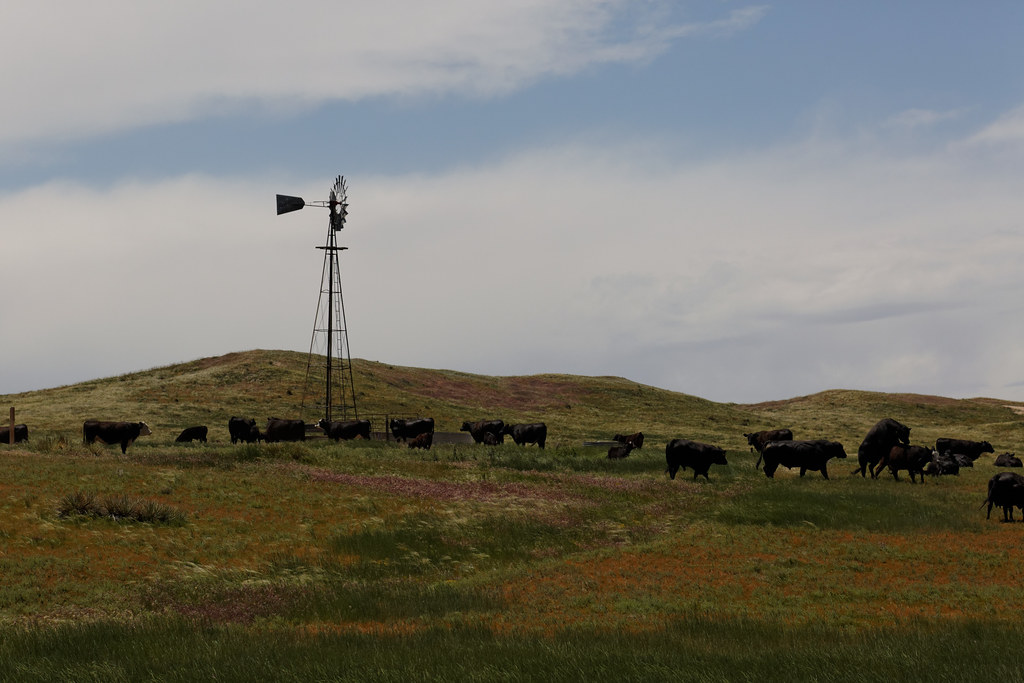 Buttes TrailHiking · ~37 min drivePhoto: KimonBerlin, CC BY-SA 2.0 (via Flickr)
 Lips Bluff TrailHiking · ~38 min drivePhoto: KimonBerlin, CC BY-SA 2.0 (via Flickr)
 Sheep Draw Natural Area TrailHiking · ~46 min drivePhoto: greeleygov, Public Domain Mark (via Flickr)
- Signature Bluffs TrailHiking · ~47 min drivePhoto: greeleygov, Public Domain Mark (via Flickr)
 Cottonwood Loop TrailHiking · ~48 min drivePhoto: greeleygov, Public Domain Mark (via Flickr)
 Cattail Flats TrailHiking · ~1h 3m drivePhoto: Mountain Roamer, CC BY-SA 2.0 (via Flickr)
 Heron Loop TrailHiking · ~1h 4m drivePhoto: KimonBerlin, CC BY-SA 2.0 (via Wikimedia Commons)
- Sandpiper TrailHiking · ~1h 4m drivePhoto: KimonBerlin, CC BY-SA 2.0 (via Wikimedia Commons)
 Fishing Pond LoopHiking · ~1h 8m drivePhoto: Barbara Brannon, CC BY 2.0 (via Flickr)
Best time to visit Cvra Mourning Dove Trail
Best months: April–June and September–October. Best months have typical highs of 55–85 °F, lows of 30 °F or warmer (32 °F where the station doesn't record snow), at most one snowy day and no more than 12 wet days.
Jan
41° / 10°
2 wet · 2 snow
Feb
44° / 13°
2 wet · 2 snow
Mar
55° / 21°
3 wet · 2 snow
Apr
62° / 30°
5 wet · 1 snow
May
71° / 41°
8 wet
Jun
83° / 50°
8 wet
Jul
90° / 56°
7 wet
Aug
87° / 54°
7 wet
Sep
79° / 44°
5 wet
Oct
65° / 31°
4 wet · 1 snow
Nov
51° / 18°
3 wet · 1 snow
Dec
41° / 9°
3 wet · 2 snow
Typical high / low (°F) and days with rain or snow, 1991–2020. Measured at Briggsdale, CO, 1.1 mi away at 4,862 ft. Source: NOAA NCEI U.S. Climate Normals 1991–2020.
Map and trail data © OpenStreetMap contributors
