HTR Durango Campground
Campground
Campground · 2.5 mi from the trail
Lightner Creek Trail is an easy out-and-back hike in Colorado, about 2 miles from Durango. The route is short, covering roughly 0.75 miles with a total elevation gain of about 266 feet. The high point is around 6,714 feet, and the trail is rated easy, so it works well as a quick stop on a longer outing in the area. The trail is a low-commitment walk. The climb is gentle, with the steepest stretch at about 0.3 miles in, and the route turns back around the same ground, so you can expect to spend about half an hour on the trail. For timing, late spring and early fall are the most comfortable. Typical averages from the Durango weather station, about 3.5 miles away, show May highs near 71°F and September highs near 76°F, while July and August bring the warmest temperatures and the most wet days. Several other trails start close by. East Twin Buttes Trail is just 0.1 mile away, and Twin Buttes Trail is about 0.4 mile off. Climbers can head to Scrappy Cliffs, about 1.5 miles away, and HTR Durango Campground offers camping about 2.5 miles from the trail.
HTR Durango Campground
Campground
 If it rainsJeffrey Beall, CC BY 4.0 · Wikimedia Commons
Places © OpenStreetMap contributors, Places © Overture Maps Foundation · Photos: Jeffrey Beall, CC BY 4.0 (commons)
More in DurangoNot on Roamze yet. Their page has how to reach them.
 Florida RiverCanoeingPhoto: Dicklyon, CC BY-SA 4.0 (via Wikimedia Commons)9.4 mi
Source: Roamze catalog (indexable pages within 10 miles, PostGIS distance)
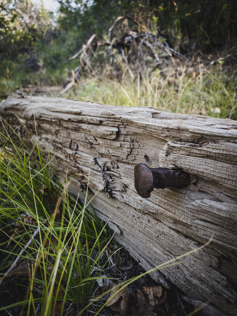 Lower Loop TrailHiking · ~2 min drivePhoto: Daniel Weber, Public Domain Dedication (CC0) (via Flickr)Upper Ed & Flo TrailHiking · ~2 min drivePhoto: Daniel Weber, Public Domain Dedication (CC0) (via Flickr)
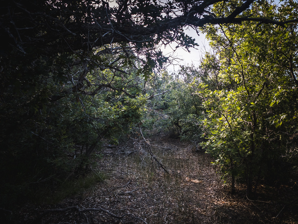 Upper Twin Buttes TrailHiking · ~2 min drivePhoto: Daniel Weber, Public Domain Dedication (CC0) (via Flickr)Upper Bc&F TrailHiking · ~2 min drivePhoto: Daniel Weber, Public Domain Dedication (CC0) (via Flickr)
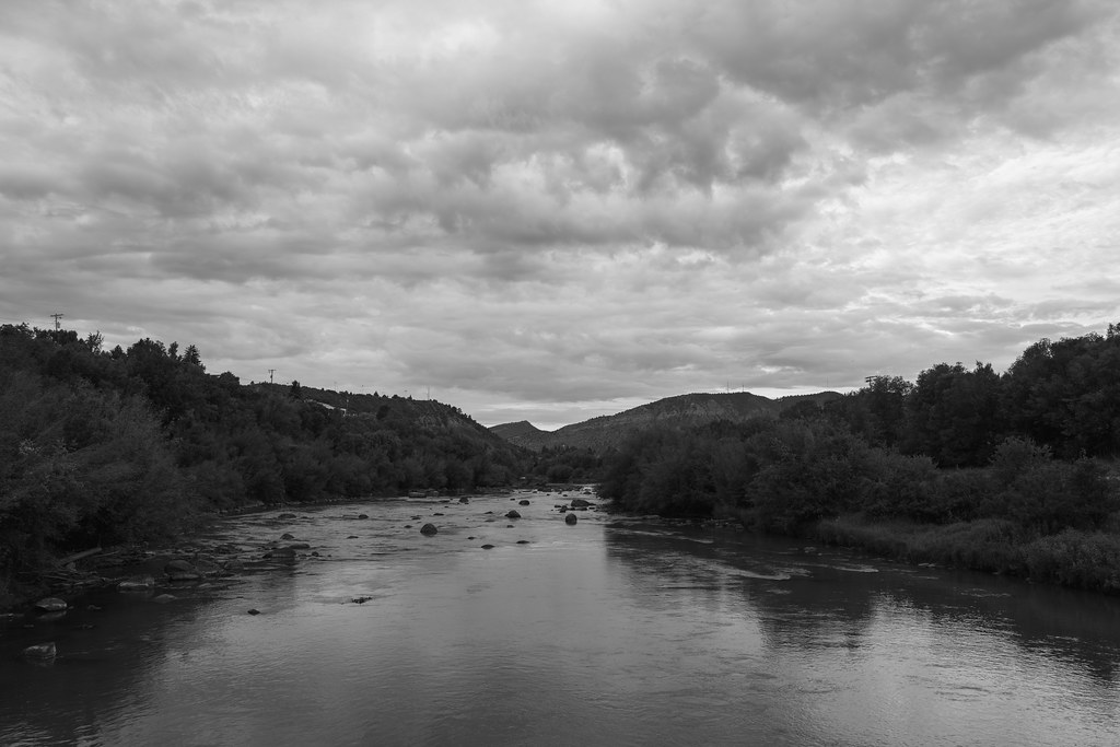 Rockridge Gravel PathHiking · ~4 min drivePhoto: Daniel Weber, Public Domain Dedication (CC0) (via Flickr)Tanke Verde TrailHiking · ~5 min drivePhoto: Daniel Weber, Public Domain Dedication (CC0) (via Flickr)
Best months: May–October. Best months have typical highs of 55–85 °F, lows of 30 °F or warmer (32 °F where the station doesn't record snow), at most one snowy day and no more than 12 wet days.
Jan
39° / 13°
7 wet
Feb
45° / 19°
7 wet
Mar
54° / 25°
7 wet
Apr
63° / 30°
7 wet
May
71° / 37°
6 wet
Jun
81° / 46°
5 wet
Jul
85° / 53°
11 wet
Aug
82° / 51°
12 wet
Sep
76° / 44°
9 wet
Oct
64° / 33°
7 wet
Nov
50° / 23°
7 wet
Dec
40° / 13°
7 wet
Typical high / low (°F) and days with rain or snow, 1991–2020. Measured at Durango, CO, 3.5 mi away at 6,761 ft. This station doesn't record snowfall. Source: NOAA NCEI U.S. Climate Normals 1991–2020.
Map and trail data © OpenStreetMap contributors

