Junction Creek Campground - Day Use
Campground
Campground · 3.1 mi from the trail
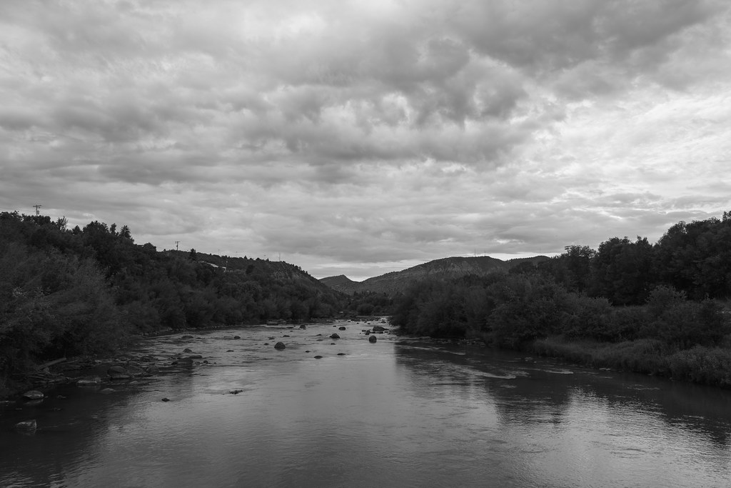 Photo: Daniel Weber, Public Domain Dedication (CC0) (via Flickr)
Rockridge Gravel Path is an easy out-and-back hike of about 1.7 miles, with a total elevation gain of 340 feet and a high point of 6,897 feet, set just 1.5 miles from Durango, Colorado. The route starts near 6,724 feet and reaches the high point before returning, making it a short, low-effort outing close to town. The most comfortable months for a visit are typically late spring and early fall. Typical averages from a nearby weather station in Durango show May highs around 71°F and September highs around 76°F, while July and August bring the most wet days of the year. The trip takes about half an hour, and the path sits close to several other options. Hidden Valley Trail and Engleharts Trail are within half a mile, and climbers can find Keystone Cave Boulder about 0.9 miles away. For an overnight stay, Junction Creek Campground is roughly 3 miles off.
Junction Creek Campground - Day Use
Campground
 If it rainsJeffrey Beall, CC BY 4.0 · Wikimedia Commons
Places © OpenStreetMap contributors, Places © Overture Maps Foundation · Photos: Jeffrey Beall, CC BY 4.0 (commons)
More in DurangoNot on Roamze yet. Their page has how to reach them.
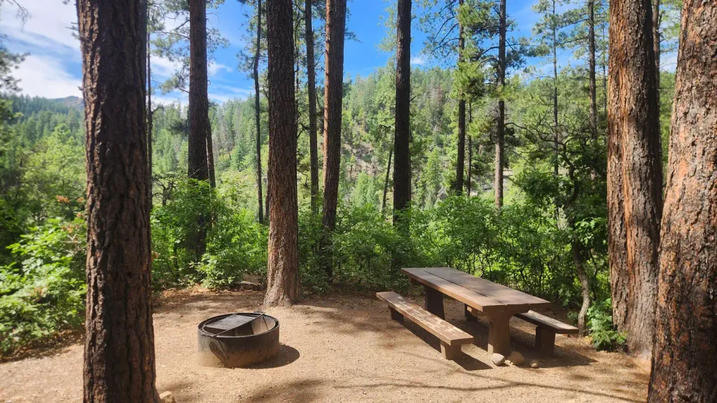 Junction Creek CampgroundCampingPhoto: Recreation.gov (RIDB) / public domain3.2 mi
Source: Roamze catalog (indexable pages within 10 miles, PostGIS distance)
 Jacobs Cliff TrailHiking · Next doorPhoto: Daniel Weber, Public Domain Dedication (CC0) (via Flickr)Animas Mountain TrailHiking · ~2 min drivePhoto: Daniel Weber, Public Domain Dedication (CC0) (via Flickr)Tanke Verde TrailHiking · Next doorPhoto: Daniel Weber, Public Domain Dedication (CC0) (via Flickr)Junction TrailHiking · ~1 min drivePhoto: Daniel Weber, Public Domain Dedication (CC0) (via Flickr)School perimeter pathHiking · ~2 min drivePhoto: Daniel Weber, Public Domain Dedication (CC0) (via Flickr)
 Upper Bc&F TrailHiking · ~4 min drivePhoto: Daniel Weber, Public Domain Dedication (CC0) (via Flickr)
Best months: May–October. Best months have typical highs of 55–85 °F, lows of 30 °F or warmer (32 °F where the station doesn't record snow), at most one snowy day and no more than 12 wet days.
Jan
39° / 13°
7 wet
Feb
45° / 19°
7 wet
Mar
54° / 25°
7 wet
Apr
63° / 30°
7 wet
May
71° / 37°
6 wet
Jun
81° / 46°
5 wet
Jul
85° / 53°
11 wet
Aug
82° / 51°
12 wet
Sep
76° / 44°
9 wet
Oct
64° / 33°
7 wet
Nov
50° / 23°
7 wet
Dec
40° / 13°
7 wet
Typical high / low (°F) and days with rain or snow, 1991–2020. Measured at Durango, CO, 1.7 mi away at 6,761 ft. This station doesn't record snowfall. Source: NOAA NCEI U.S. Climate Normals 1991–2020.
Map and trail data © OpenStreetMap contributors
