Dakota Ridge RV Park
Campground
Campground · 6.2 mi from the trail
Kipling Crossing Loop is a short, easy walk in Clear Creek, Colorado, about 0.3 miles from Happy Valley Gardens. The route runs from Iris St to Moore St, and it is an out-and-back that is about 1.4 miles long. The climb is minimal, with a total gain of 80 feet and a high point of 5383 feet. The route starts at roughly 5382 feet, and the steepest section comes right at the beginning, with a grade of about 2 percent. The weather station at Wheat Ridge, 0.4 miles away at a similar elevation, gives typical averages that make late spring and early fall the most comfortable times to go. In May, typical highs reach about 71°F and lows about 43°F, and in September, highs average about 79°F with lows near 45°F. The trip takes about half an hour. Nearby, Prospect Lake to West Lake Loop is about 0.9 miles away and Trail No. 96 about a mile. Climbers can find The East Quarry about 5 miles off.
Dakota Ridge RV Park
Campground
 If it rainsClyde Charles Brown, CC BY-SA 4.0 · Wikimedia Commons
Places © OpenStreetMap contributors, Places © Overture Maps Foundation · Photos: Clyde Charles Brown, CC BY-SA 4.0 (commons)
More in Idaho SpringsNot on Roamze yet. Their page has how to reach them.
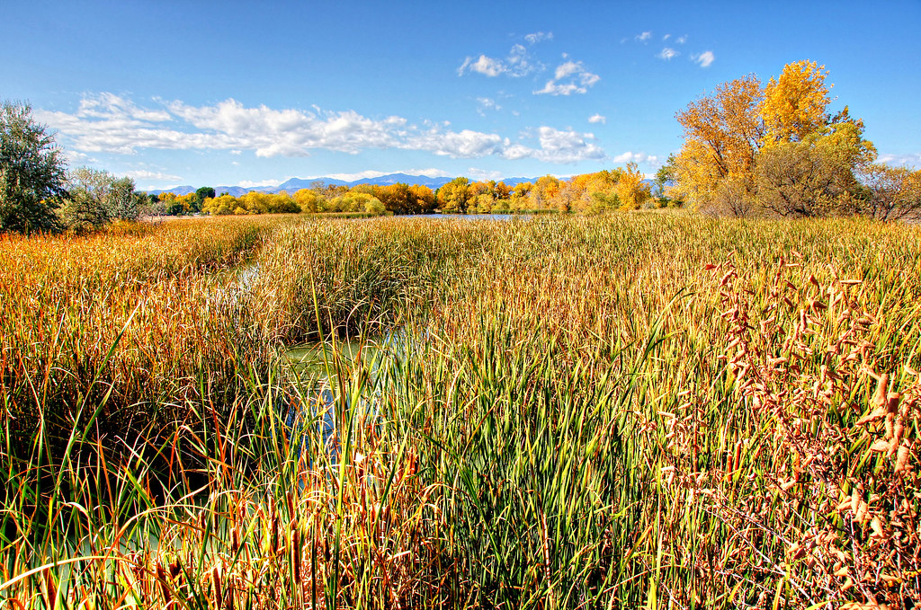 Trail No. 96HikingPhoto: Michael Kirsh, CC BY-SA 2.0 (via Flickr)1 mi
 Johnson to Anderson Park Foot PathHikingPhoto: ToGa Wanderings, CC BY 2.0 (via Flickr)1.1 mi
 The East QuarryRock climbingPhoto: ShanMcG213, CC BY-SA 2.0 (via Flickr)5 mi
 Child Free Zone (aka Parkway Crags)Rock climbingPhoto: ShanMcG213, CC BY-SA 2.0 (via Flickr)5.6 mi
Source: Roamze catalog (indexable pages within 10 miles, PostGIS distance)
Johnson to Anderson Park Loop, Clear CreekHiking · ~1 min drivePhoto: ToGa Wanderings, CC BY 2.0 (via Flickr)Trail No. 96Hiking · ~2 min drivePhoto: Michael Kirsh, CC BY-SA 2.0 (via Flickr)Johnson to Anderson Park Foot PathHiking · ~2 min drivePhoto: ToGa Wanderings, CC BY 2.0 (via Flickr)Kestrel Pond TrailHiking · ~2 min drivePhoto: Michael Kirsh, CC BY-SA 2.0 (via Flickr)Trail No. 93Hiking · ~2 min drivePhoto: Michael Kirsh, CC BY-SA 2.0 (via Flickr)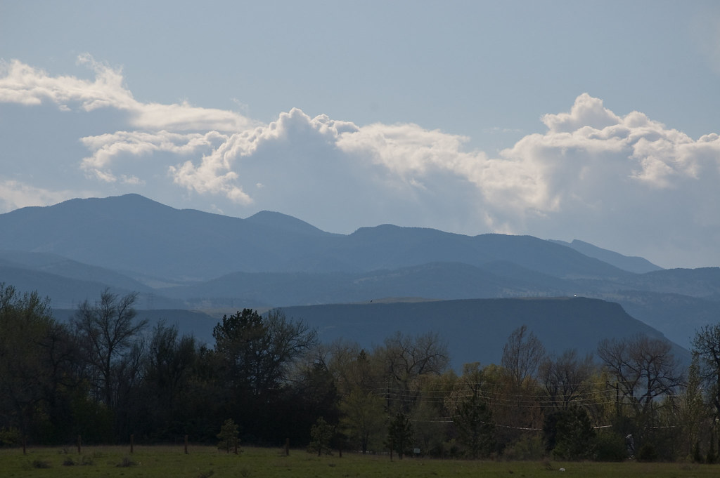 Outer Loop TrailHiking · ~2 min drivePhoto: Ben Mason, CC BY 2.0 (via Flickr)Outer Loop TrailHiking · ~3 min drivePhoto: Ben Mason, CC BY 2.0 (via Flickr)
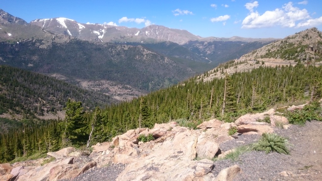 Van Bibber Creek TrailHiking · ~4 min drivePhoto: Maria Vorontsova, Public Domain Dedication (CC0) (via Flickr)Van Bibber Park Outer Loop TrailHiking · ~4 min drivePhoto: Maria Vorontsova, Public Domain Dedication (CC0) (via Flickr)
Also worth it near here
Best months: April–June and September–October. Best months have typical highs of 55–85 °F, lows of 30 °F or warmer (32 °F where the station doesn't record snow), at most one snowy day and no more than 12 wet days.
Jan
47° / 17°
5 wet
Feb
48° / 18°
6 wet
Mar
57° / 26°
7 wet
Apr
62° / 33°
9 wet
May
71° / 43°
10 wet
Jun
83° / 51°
9 wet
Jul
88° / 57°
9 wet
Aug
86° / 54°
8 wet
Sep
79° / 45°
7 wet
Oct
66° / 34°
6 wet
Nov
55° / 24°
6 wet
Dec
47° / 17°
5 wet
Typical high / low (°F) and days with rain or snow, 1991–2020. Measured at Wheat Ridge 2, CO, 0.4 mi away at 5,398 ft. This station doesn't record snowfall. Source: NOAA NCEI U.S. Climate Normals 1991–2020.
Map and trail data © OpenStreetMap contributors

