James M. Robb - Colorado River State Park, Fruita Section
Campground
Campground · 1.6 mi from the trail
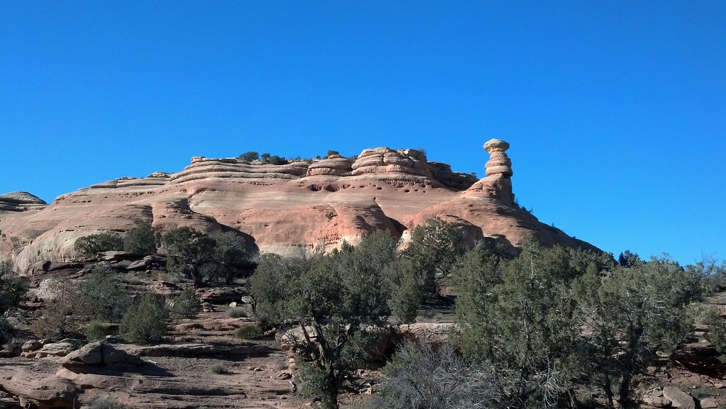 Photo: iagoarchangel, CC BY-SA 2.0 (via Flickr)
The K9 Trail is a short, easy walk in western Colorado, on Bureau of Land Management land within the Grand Junction Field Office. It's a 0.66-mile out-and-back with a high point of 4795 feet, and the total climb is about 165 feet, so the route sits nearly level with only a slight rise and drop. Spring and fall are the most comfortable times to go. Typical averages from the Fruita weather station, about 1.8 miles away, show May highs near 78°F and October highs near 69°F, while July averages around 95°F and January lows drop to about 15°F. The trail makes a convenient pairing with other outings in the area. McInnis Canyon Bouldering and the K4 Trail both lie about 0.3 miles away, and The Slabs is about half a mile off. For overnight stays, James M. Robb - Colorado River State Park, Fruita Section is roughly 1.6 miles away.
James M. Robb - Colorado River State Park, Fruita Section
Campground
 If it rainsJeffrey Beall, CC BY-SA 3.0 · Wikimedia Commons
Places © OpenStreetMap contributors · Photos: Jeffrey Beall, CC BY-SA 3.0 (commons)
More in CliftonNot on Roamze yet. Their page has how to reach them.
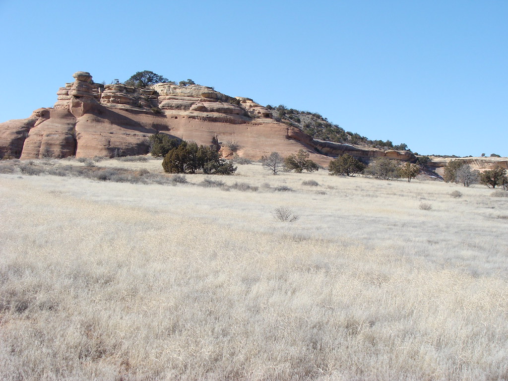 K4 TrailHikingPhoto: iagoarchangel, CC BY-SA 2.0 (via Flickr)0.3 miD3 Devils Canyon TrailHikingPhoto: iagoarchangel, CC BY-SA 2.0 (via Flickr)0.3 mi
 D4 TrailHikingPhoto: iagoarchangel, CC BY-SA 2.0 (via Flickr)0.4 mi
 The SlabsRock climbingPhoto: iagoarchangel, CC BY-SA 2.0 (via Flickr)0.5 mi
 James M. Robb - Colorado River State Park, Fruita SectionCampingPhoto: Nathan Anderson nathananderson, CC0 (via Wikimedia Commons)1.6 miMonument RV ParkCampingPhoto: Nathan Anderson nathananderson, CC0 (via Wikimedia Commons)1.7 mi
Source: Roamze catalog (indexable pages within 10 miles, PostGIS distance)
K4 TrailHiking · Next doorPhoto: iagoarchangel, CC BY-SA 2.0 (via Flickr)D3 Devils Canyon TrailHiking · Next doorPhoto: iagoarchangel, CC BY-SA 2.0 (via Flickr) Canyon Rim TrailHiking · ~4 min drivePhoto: Fredlyfish4, CC BY-SA 4.0 (via Wikimedia Commons)D4 TrailHiking · Next doorPhoto: iagoarchangel, CC BY-SA 2.0 (via Flickr)
 K1 TrailHiking · ~1 min drivePhoto: AndreyZharkikh, CC BY 2.0 (via Flickr)
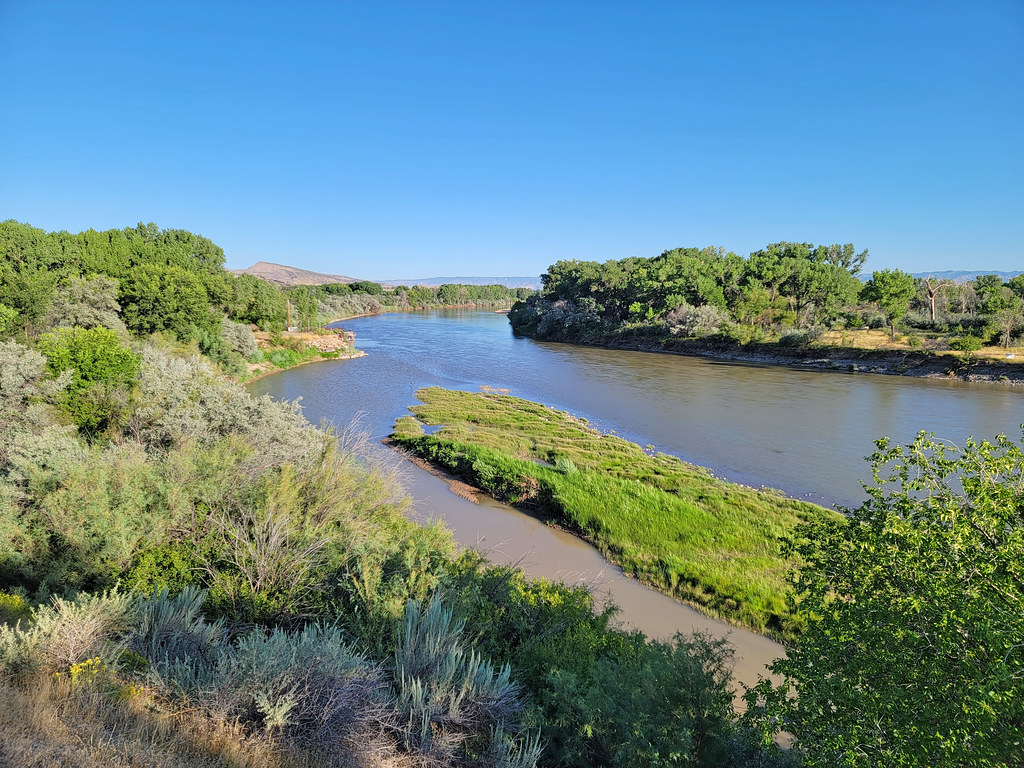 Rattlesnake Arches TrailHiking · ~5 min drivePhoto: AndreyZharkikh, CC BY 2.0 (via Flickr)K8 TrailHiking · Next doorPhoto: iagoarchangel, CC BY-SA 2.0 (via Flickr)
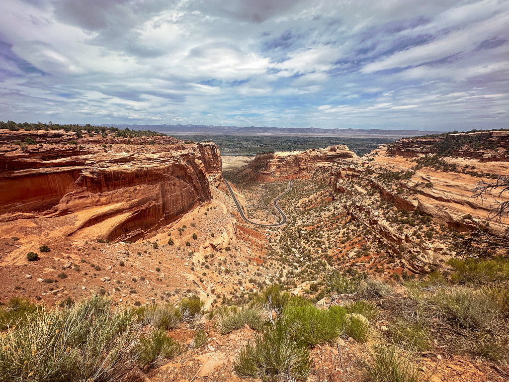 Fruita DugwayHiking · ~4 min drivePhoto: joannapoe, CC BY-SA 2.0 (via Flickr)
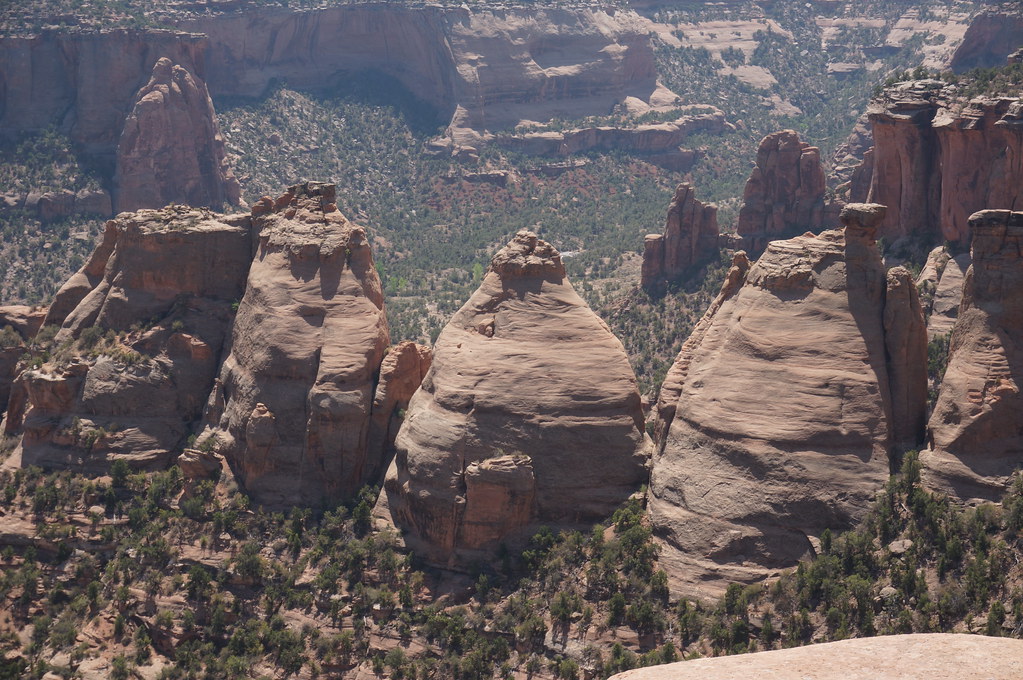 Monument Canyon TrailHiking · ~7 min drivePhoto: Andrew and Annemarie, CC BY-SA 2.0 (via Flickr)
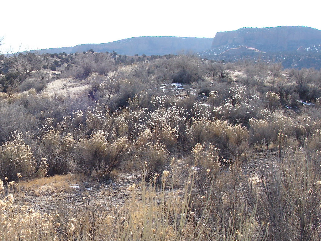 K10 TrailHiking · Next doorPhoto: iagoarchangel, CC BY-SA 2.0 (via Flickr)
Also worth it near here
The SlabsRock climbing · Next doorPhoto: iagoarchangel, CC BY-SA 2.0 (via Flickr)James M. Robb - Colorado River State Park, Fruita SectionCamping · ~3 min drivePhoto: Nathan Anderson nathananderson, CC0 (via Wikimedia Commons) Fruita TrailMountain biking · ~3 min drivePhoto: Nathan Anderson nathananderson, CC0 (via Wikimedia Commons)
Best months: April–May and September–October. Best months have typical highs of 55–85 °F, lows of 30 °F or warmer (32 °F where the station doesn't record snow), at most one snowy day and no more than 12 wet days.
Jan
39° / 15°
5 wet
Feb
47° / 21°
5 wet
Mar
59° / 29°
6 wet
Apr
67° / 35°
5 wet
May
78° / 45°
5 wet
Jun
89° / 52°
3 wet
Jul
95° / 60°
4 wet
Aug
91° / 58°
5 wet
Sep
83° / 48°
5 wet
Oct
69° / 36°
5 wet
Nov
54° / 25°
5 wet
Dec
40° / 16°
5 wet
Typical high / low (°F) and days with rain or snow, 1991–2020. Measured at Fruita, CO, 1.8 mi away at 4,498 ft. This station doesn't record snowfall. Source: NOAA NCEI U.S. Climate Normals 1991–2020.
Map and trail data © OpenStreetMap contributors
