Saddlehorn Campground (Loop C)
Campground
Campground · 1.8 mi from the trail
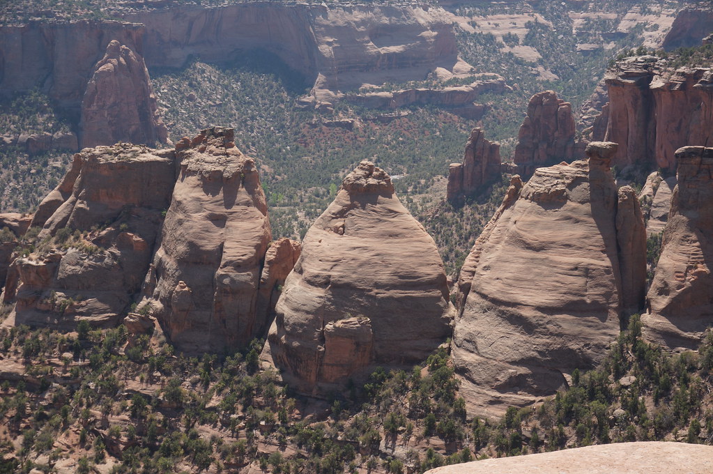 Photo: Andrew and Annemarie, CC BY-SA 2.0 (via Flickr)
Clear at last check
Weather is good · OpenWeather · checked 12 h ago
Alert in the area
The National Park Service lists an alert for Colorado National Monument.
Year-round Fire Restrictions in Effect
Park alert covering Colorado National Monument · NPS · Colorado National Monument
As of · Source: NPS · Colorado National Monument. Agencies don't list every closure — check before you go.
Monument Canyon Trail is a hard hike in Colorado National Monument, a National Park Service unit in western Colorado. The route is an out-and-back that covers about 11.6 miles with a total elevation gain of 1,546 feet, starting from a low point of about 4,721 feet and reaching a high of about 6,140 feet. The most comfortable stretch for a visit runs from late spring into early fall. Typical averages from a nearby weather station put May highs around 74°F and September highs near 80°F, while July peaks around 93°F and winter brings highs in the upper 30s and occasional snow days from December through February. A fee is charged for this hike. For overnight stays, Saddlehorn Campground is about 1.8 miles away, and the Kissing Couple climbing area is under a mile off. Black Ridge Trail and the CCC trail both lie about 0.4 miles from the route.
Saddlehorn Campground (Loop C)
Campground
 If it rainsJeffrey Beall, CC BY-SA 3.0 · Wikimedia Commons
Places © OpenStreetMap contributors, Places © Overture Maps Foundation · Photos: Jeffrey Beall, CC BY-SA 3.0 (commons)
More in CliftonNot on Roamze yet. Their page has how to reach them.
Black Ridge TrailHikingPhoto: Andrew and Annemarie, CC BY-SA 2.0 (via Flickr)0.4 miCccHikingPhoto: Andrew and Annemarie, CC BY-SA 2.0 (via Flickr)0.4 mi Kissing Couple areaRock climbingPhoto: daveynin, CC BY 2.0 (via Flickr)0.9 miIndependence MonumentRock climbingPhoto: daveynin, CC BY 2.0 (via Flickr)1.3 miColorado National MonumentRock climbingPhoto: daveynin, CC BY 2.0 (via Flickr)1.3 mi
 Saddlehorn CampgroundCampingPhoto: Recreation.gov (RIDB) / public domain1.9 mi
Source: Roamze catalog (indexable pages within 10 miles, PostGIS distance)
 Coke Ovens TrailHiking · Next doorPhoto: Shepard4711, CC BY 2.0 (via Flickr)Black Ridge TrailHiking · Next doorPhoto: Andrew and Annemarie, CC BY-SA 2.0 (via Flickr)
 Canyon Rim TrailHiking · ~3 min drivePhoto: Fredlyfish4, CC BY-SA 4.0 (via Wikimedia Commons)CccHiking · Next doorPhoto: Andrew and Annemarie, CC BY-SA 2.0 (via Flickr)
 Wedding Canyon TrailHiking · ~2 min drivePhoto: Bold Frontiers, CC BY 2.0 (via Flickr)
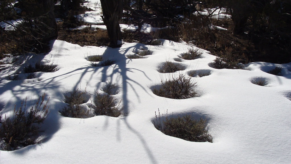 Liberty Cap TrailHiking · ~3 min drivePhoto: iagoarchangel, CC BY-SA 2.0 (via Flickr)
 Otto's TrailHiking · ~2 min drivePhoto: Fredlyfish4, CC BY-SA 4.0 (via Wikimedia Commons)
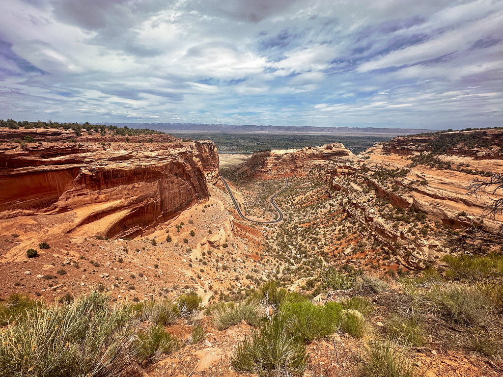 Fruita DugwayHiking · ~3 min drivePhoto: joannapoe, CC BY-SA 2.0 (via Flickr)
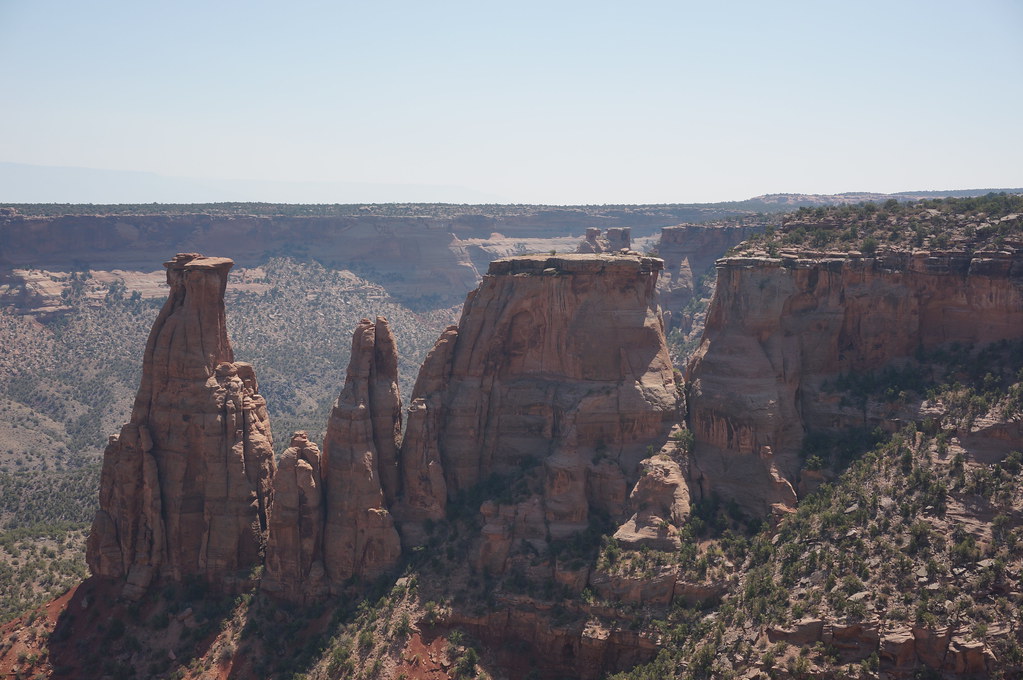 Alcove Nature TrailHiking · ~3 min drivePhoto: Andrew and Annemarie, CC BY-SA 2.0 (via Flickr)
 Irishmans TrailHiking · ~3 min drivePhoto: daveynin, CC BY 2.0 (via Wikimedia Commons)
Also worth it near here
Best months: April–May and September–October. Best months have typical highs of 55–85 °F, lows of 30 °F or warmer (32 °F where the station doesn't record snow), at most one snowy day and no more than 12 wet days.
Jan
39° / 21°
6 wet · 4 snow
Feb
45° / 25°
5 wet · 3 snow
Mar
56° / 34°
6 wet · 2 snow
Apr
63° / 39°
6 wet · 1 snow
May
74° / 49°
6 wet
Jun
87° / 58°
4 wet
Jul
93° / 65°
6 wet
Aug
90° / 62°
7 wet
Sep
80° / 54°
7 wet
Oct
66° / 41°
6 wet
Nov
50° / 31°
6 wet · 2 snow
Dec
39° / 22°
6 wet · 4 snow
Typical high / low (°F) and days with rain or snow, 1991–2020. Measured at Colorado Nm, CO, 1.7 mi away at 5,781 ft. Source: NOAA NCEI U.S. Climate Normals 1991–2020.
Map and trail data © OpenStreetMap contributors

