Jones Canyon Trail
- 3.4 mi
- round trip
- 705 ft
- climb
- 6,145 ft
- high point
- Out and back
- route
- Apr–Jun, Aug–Sep
- best months
Jones Canyon Trail is a moderate out-and-back hike on Bureau of Land Management land in the Grand Junction Field Office of western Colorado, about 1.7 miles from Sieber Canyon. The trail is roughly 6.8 miles long, with a total elevation gain of 705 feet, and the high point stands at 6,145 feet. The route starts at about 6,110 feet and rises to its peak before returning to the trailhead. The steepest stretch comes at mile 3.1, where the grade reaches about 10 percent. The trip takes about 2.5 hours. Late spring and early fall are the most comfortable times to go. Typical averages from a nearby weather station at Glade Park put May highs around 70°F and September highs around 76°F, while July highs climb to about 88°F. Nearby options include Sieber Canyon, the Mee Canyon Trail and the Middle Mee Canyon Area for climbing. For an overnight stay, Black Rocks 9 campground is about 7.6 miles away.
Local outfitters
- RV Ranch at Grand Junction27 mi away
- Desert Moon Hotel & RV Park41 mi away
Not on Roamze yet. Their page has how to reach them.
- Sieber CanyonHiking1.7 mi
 Mee Canyon TrailHikingPhoto: merrittglenn, CC BY 2.0 (via Flickr)5.8 mi
- Middle Mee Canyon AreaRock climbing7.2 mi
- Government Cheese AreaRock climbing7.5 mi
 Black Rocks 9CampingPhoto: Missvain, CC BY 4.0 (via Wikimedia Commons)7.6 mi
- Black Rocks 8Camping7.6 mi
- Mee CanyonRock climbing7.6 mi
- KnowlesCampingPhoto: Missvain, CC BY 4.0 (via Wikimedia Commons)7.7 mi
Source: Roamze catalog (indexable pages within 10 miles, PostGIS distance)
- Mee Canyon TrailHiking · ~10 min drivePhoto: merrittglenn, CC BY 2.0 (via Flickr)
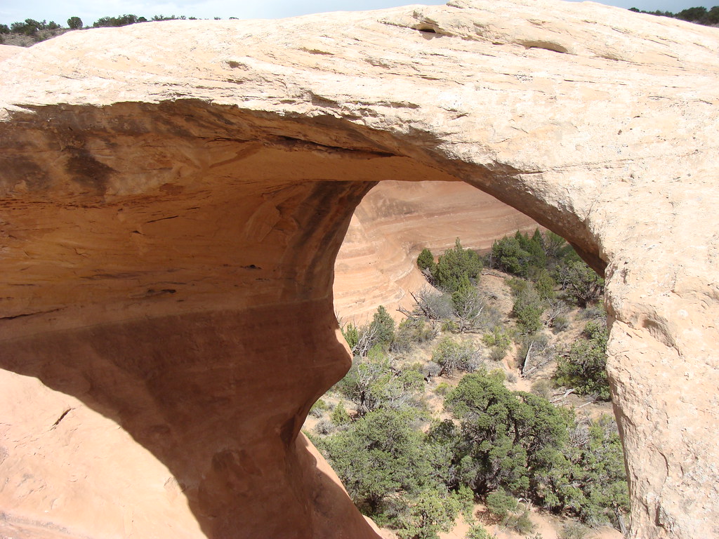 Rattlesnake Arches Upper Rim TrailHiking · ~16 min drivePhoto: iagoarchangel, CC BY-SA 2.0 (via Flickr)
 Rabbit Valley 8 TrailHiking · ~16 min drivePhoto: …trialsanderrors, CC BY 2.0 (via Wikimedia Commons)
 Mee Canyon TrailHiking · ~14 min drivePhoto: sarahstierch, CC BY 2.0 (via Flickr)
 Rattlesnake Arches Upper TrailHiking · ~16 min drivePhoto: iagoarchangel, CC BY-SA 2.0 (via Flickr)
 KokopelliHiking · ~18 min drivePhoto: AndreyZharkikh, CC BY 2.0 (via Flickr)
- Rabbit Valley 3 TrailHiking · ~16 min drivePhoto: …trialsanderrors, CC BY 2.0 (via Wikimedia Commons)
- KokopelliHiking · ~17 min drivePhoto: …trialsanderrors, CC BY 2.0 (via Wikimedia Commons)
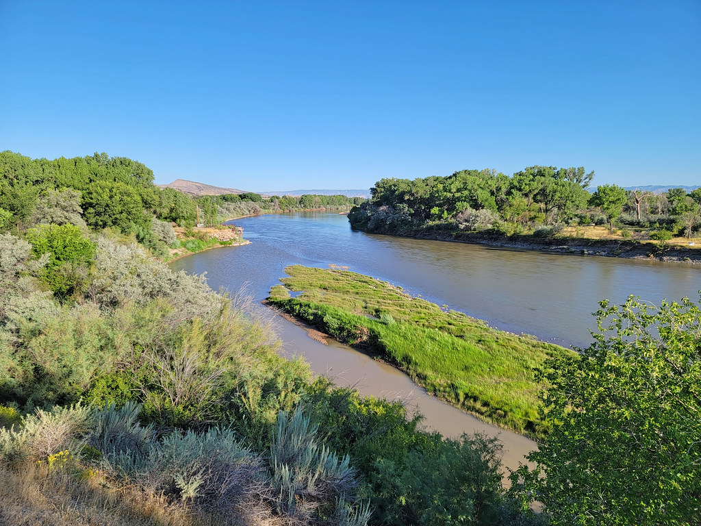 Rattlesnake Arches TrailHiking · ~19 min drivePhoto: AndreyZharkikh, CC BY 2.0 (via Flickr)
- Rabbit Valley 4 TrailHiking · ~18 min drivePhoto: AndreyZharkikh, CC BY 2.0 (via Flickr)
Best time to visit Jones Canyon Trail
Best months: April–June and August–September. Best months have typical highs of 55–85 °F, lows of 30 °F or warmer (32 °F where the station doesn't record snow), at most one snowy day and no more than 12 wet days.
Jan
39° / 12°
7 wet
Feb
42° / 17°
7 wet
Mar
52° / 25°
8 wet
Apr
59° / 32°
7 wet
May
70° / 39°
6 wet
Jun
82° / 48°
4 wet
Jul
88° / 55°
6 wet
Aug
85° / 52°
7 wet
Sep
76° / 43°
7 wet
Oct
63° / 31°
7 wet
Nov
49° / 22°
6 wet
Dec
38° / 12°
8 wet
Typical high / low (°F) and days with rain or snow, 1991–2020. Measured at Glade Park 17w, CO, 7.9 mi away at 6,323 ft. This station doesn't record snowfall. Source: NOAA NCEI U.S. Climate Normals 1991–2020.

Map and trail data © OpenStreetMap contributors
