Rattlesnake
Campground
Campground · 5.0 mi from the trail
 Photo: merrittglenn, CC BY 2.0 (via Flickr)
Clear today
Weather is good · OpenWeather · checked just now
Mee Canyon Trail is a 5.4-mile out-and-back hike in Colorado's Black Ridge Canyons Wilderness, on land managed by the Bureau of Land Management's Grand Junction Field Office. The trail climbs from about 5,687 feet to a high point of 6,738 feet, with a total elevation gain of 1,931 feet over the round trip. The climb is front-loaded, and the steepest stretch comes within the first third of the route, where the grade reaches about 29%. The most comfortable months for a visit are typically May and September. At a nearby weather station, May averages highs around 74°F and September around 80°F, while July highs average about 93°F and winter brings frequent snow days. The hike takes about three hours. The trail starts within the wilderness, and the Middle Mee Canyon Area climbing area and the Rattlesnake Arches Upper Rim Trail are both about 3.7 miles away. Rattlesnake campground sits about 5 miles off.
Rattlesnake
Campground
 If it rainsJeffrey Beall, CC BY-SA 3.0 · Wikimedia Commons
Places © OpenStreetMap contributors · Photos: Jeffrey Beall, CC BY-SA 3.0 (commons)
More in CliftonNot on Roamze yet. Their page has how to reach them.
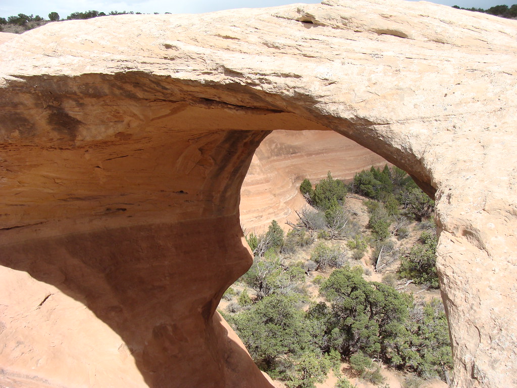 Rattlesnake Arches Upper Rim TrailHikingPhoto: iagoarchangel, CC BY-SA 2.0 (via Flickr)3.7 mi
 Rattlesnake Arches Upper TrailHikingPhoto: iagoarchangel, CC BY-SA 2.0 (via Flickr)3.7 mi
 RattlesnakeCampingPhoto: jimmy thomas from Seattle, CC BY-SA 2.0 (via Wikimedia Commons)5 miBeaver Tail 1CampingPhoto: jimmy thomas from Seattle, CC BY-SA 2.0 (via Wikimedia Commons)5.1 mi
Source: Roamze catalog (indexable pages within 10 miles, PostGIS distance)
Rattlesnake Arches Upper Rim TrailHiking · ~6 min drivePhoto: iagoarchangel, CC BY-SA 2.0 (via Flickr)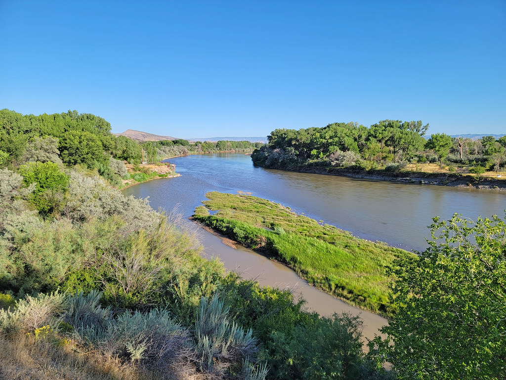 Rattlesnake Arches TrailHiking · ~10 min drivePhoto: AndreyZharkikh, CC BY 2.0 (via Flickr)
 Mee Canyon TrailHiking · ~11 min drivePhoto: sarahstierch, CC BY 2.0 (via Flickr)Rattlesnake Arches Upper TrailHiking · ~6 min drivePhoto: iagoarchangel, CC BY-SA 2.0 (via Flickr)
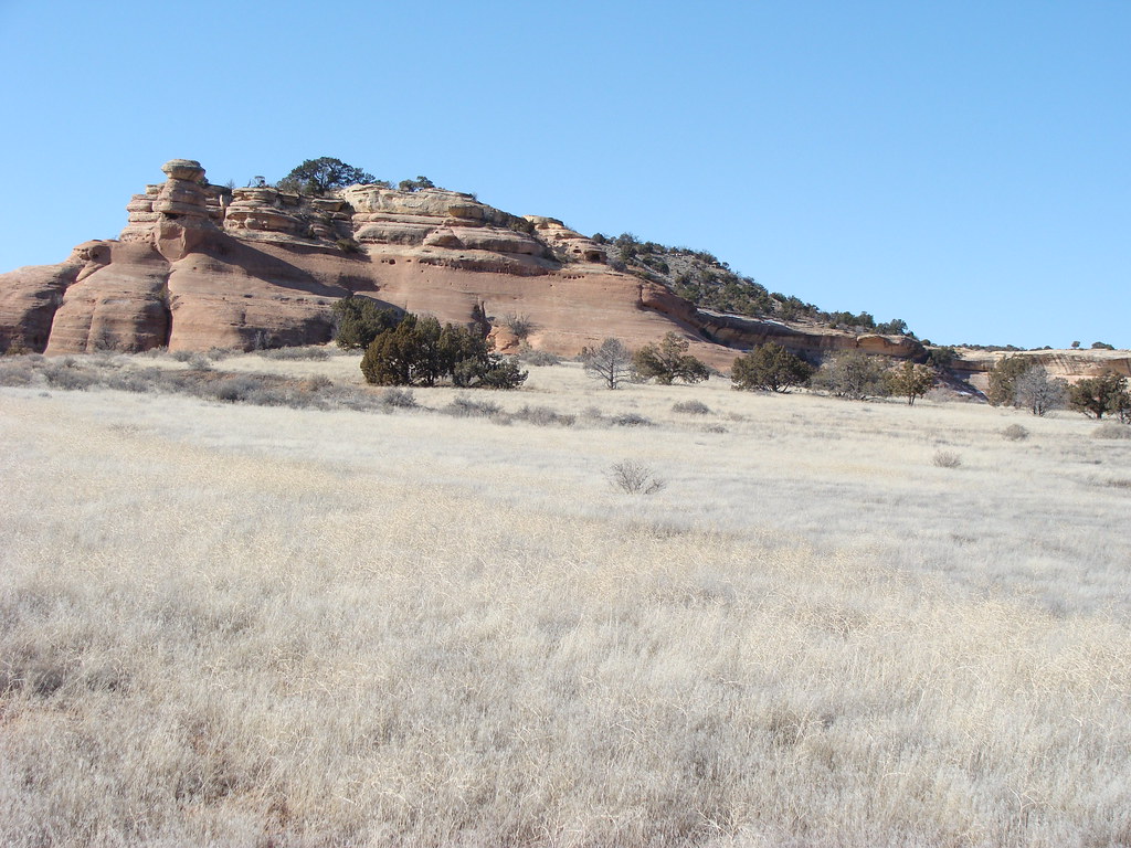 D3 Devils Canyon TrailHiking · ~12 min drivePhoto: iagoarchangel, CC BY-SA 2.0 (via Flickr)
 D6 TrailHiking · ~11 min drivePhoto: iagoarchangel, CC BY-SA 2.0 (via Flickr)
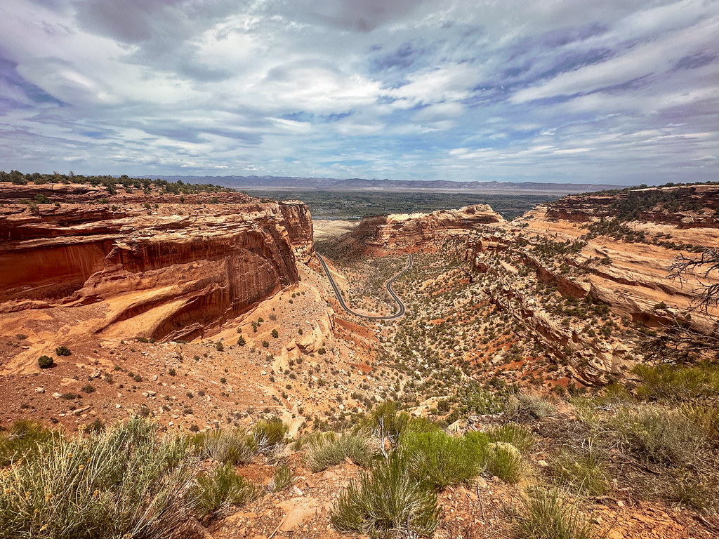 Fruita DugwayHiking · ~12 min drivePhoto: joannapoe, CC BY-SA 2.0 (via Flickr)Inner Flume Canyon TrailHiking · ~11 min drivePhoto: AndreyZharkikh, CC BY 2.0 (via Flickr)
 D1 TrailHiking · ~12 min drivePhoto: AndreyZharkikh, CC BY 2.0 (via Flickr)
Also worth it near here
RattlesnakeCamping · ~9 min drivePhoto: jimmy thomas from Seattle, CC BY-SA 2.0 (via Wikimedia Commons) Horsethief Bench Drop InMountain biking · ~9 min drivePhoto: jimmy thomas from Seattle, CC BY-SA 2.0 (via Wikimedia Commons)
 COVID CastleRock climbing · ~10 min drivePhoto: iagoarchangel, CC BY-SA 2.0 (via Flickr)
Best months: April–May and September–October. Best months have typical highs of 55–85 °F, lows of 30 °F or warmer (32 °F where the station doesn't record snow), at most one snowy day and no more than 12 wet days.
Jan
39° / 21°
6 wet · 4 snow
Feb
45° / 25°
5 wet · 3 snow
Mar
56° / 34°
6 wet · 2 snow
Apr
63° / 39°
6 wet · 1 snow
May
74° / 49°
6 wet
Jun
87° / 58°
4 wet
Jul
93° / 65°
6 wet
Aug
90° / 62°
7 wet
Sep
80° / 54°
7 wet
Oct
66° / 41°
6 wet
Nov
50° / 31°
6 wet · 2 snow
Dec
39° / 22°
6 wet · 4 snow
Typical high / low (°F) and days with rain or snow, 1991–2020. Measured at Colorado Nm, CO, 7.5 mi away at 5,781 ft. The station sits about 1,000 ft lower than this place, so expect it a little cooler here. Source: NOAA NCEI U.S. Climate Normals 1991–2020.
Map and trail data © OpenStreetMap contributors
