John Emerson Summit Trail
- 0.5 mi
- round trip
- 682 ft
- climb
- 6,478 ft
- high point
- Out and back
- route
- Apr–Jun, Aug–Oct
- best months
John Emerson Summit Trail is a short, easy out-and-back hike in Colorado's Rock Park, on county land about half a mile from the Castle Rock climbing area. The trail is roughly a mile long, with a total elevation gain of about 680 feet, and it reaches a high point of 6,478 feet. The climb is rolling, and the steepest stretch comes early, around 0.08 miles from the start, with a grade of about 15 percent. The trail begins at about 6,457 feet and ends at about the same elevation, so it works well as a quick outing or a warm-up before heading to the climbing. For comfortable weather, late spring and early fall are the best bets. Typical averages from a nearby weather station in Castle Rock show May highs around 68°F and September highs around 77°F, with lows in the low 40s. That station sits a few hundred feet lower than the trail, so temperatures on the summit run a little cooler. Castle Rock is just 0.1 mile away, and the Memmen Ridge Open Space Trail and Purple Loop Trail are both within about a mile and a half. For an overnight stay, The Pinery RV Lot is about 7 miles off.
Local outfitters
- Broadmoor Outfitters40 mi away
- Lostfork Basecamp44 mi away
Not on Roamze yet. Their page has how to reach them.
Conditions and forecast on Castle Rock
Daily highs and lows, wind and the chance of precipitation at the summit and route start for the next 7 days, from the Open-Meteo model.
- Castle RockRock climbing0.1 mi
- Memmen Ridge Open Space TrailHiking0.9 mi
- Purple Loop TrailHiking1.3 mi
- Blue Loop TrailHiking1.4 mi
- Corona CragRock climbing3.1 mi
- The Pinery Rv LotCamping7.4 mi
 Yogi Bear's Jellystone Park LarkspurCampingPhoto: Jacob Montgomery, CC BY-SA 3.0 (via Wikimedia Commons)8.3 mi
 Cherry CreekCanoeingPhoto: Tim Kiser (w:User:Malepheasant), CC BY-SA 2.5 (via Wikimedia Commons)9.2 mi
Source: Roamze catalog (indexable pages within 10 miles, PostGIS distance)
 Gold Loop TrailHiking · ~3 min drivePhoto: glennharper, CC BY-SA 2.0 (via Flickr)
- Red Loop TrailHiking · ~3 min drivePhoto: glennharper, CC BY-SA 2.0 (via Flickr)
- Gold Loop TrailHiking · ~3 min drivePhoto: glennharper, CC BY-SA 2.0 (via Flickr)
 Chuck's Loop TrailHiking · ~5 min drivePhoto: gregor_y, CC BY-SA 2.0 (via Flickr)
- Legacy TrailHiking · ~5 min drivePhoto: gregor_y, CC BY-SA 2.0 (via Flickr)
 Hidden Mesa - Mesa Rim LoopHiking · ~6 min drivePhoto: jaygannett, CC BY-SA 2.0 (via Flickr)
- Pleasant Pass TrailHiking · ~6 min drivePhoto: jaygannett, CC BY-SA 2.0 (via Flickr)
- Mitchell Creek Canyon TrailHiking · ~6 min drivePhoto: gregor_y, CC BY-SA 2.0 (via Flickr)
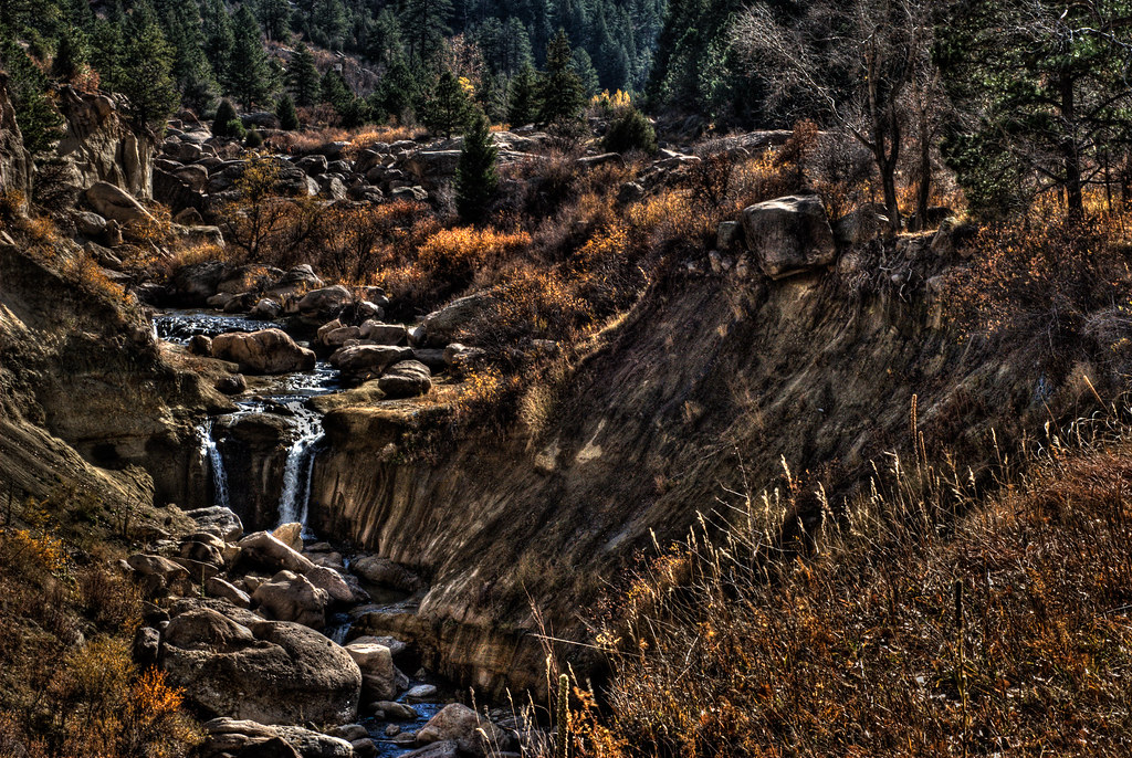 Cherry Creek TrailHiking · ~8 min drivePhoto: mason bryant, CC BY-SA 2.0 (via Flickr)
- Memmen Ridge Open Space TrailHiking · ~2 min drive
Best time to visit John Emerson Summit Trail
Best months: April–June and August–October. Best months have typical highs of 55–85 °F, lows of 30 °F or warmer (32 °F where the station doesn't record snow), at most one snowy day and no more than 12 wet days.
Jan
46° / 18°
4 wet
Feb
47° / 20°
5 wet
Mar
54° / 27°
5 wet
Apr
59° / 33°
6 wet
May
68° / 42°
8 wet
Jun
80° / 50°
8 wet
Jul
86° / 56°
9 wet
Aug
84° / 55°
9 wet
Sep
77° / 47°
6 wet
Oct
65° / 35°
4 wet
Nov
54° / 26°
4 wet
Dec
46° / 18°
5 wet
Typical high / low (°F) and days with rain or snow, 1991–2020. Measured at Castle Rock, CO, 3.4 mi away at 6,185 ft. This station doesn't record snowfall. Source: NOAA NCEI U.S. Climate Normals 1991–2020.
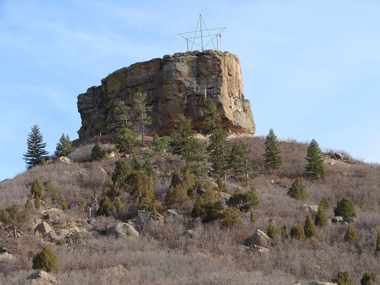
Route details
- Distance
- 0.5 mi round trip
- Climbing
- About 682 ft
- Summit
- 6,589 ft
- Difficulty
- Easy
- Time
- About 0.5 hours
Questions about this route
How long is the John Emerson Summit Trail on Castle Rock?
About 0.5 mi round trip.
How much elevation gain is on the John Emerson Summit Trail?
About 682 ft of climbing round trip.
How hard is the John Emerson Summit Trail?
It is rated easy.
How long does the John Emerson Summit Trail take?
About 0.5 hours round trip.
Map and trail data © OpenStreetMap contributors
