Hot Creek Trail
- 5.9 mi
- round trip
- 3,187 ft
- climb
- 10,496 ft
- high point
- Out and back
- route
Is Hot Creek Trail open right now?
Closure in the area
There's a closure order in Rio Grande National Forest. It doesn't name Hot Creek Trail, so check the source for the area it covers.
Closures and dangerous conditions on roads, bridges, and trails from flooding
Agency closure covering Rio Grande National Forest · USFS · Rio Grande National Forest
As of · Source: USFS · Rio Grande National Forest. Agencies don't list every closure — check before you go.
Hot Creek Trail is a hard hike in Colorado's Rio Grande National Forest, within the Conejos Peak Ranger District. The route is an out-and-back of about 11.7 miles, with a total elevation gain of 3,187 feet. The trail starts at roughly 10,086 feet and climbs to a high point of 10,496 feet, with the steepest stretch at about 3.8 miles in, where the grade reaches 31 percent. The trip takes about 5.5 hours. The trail is managed by the Forest Service, and the nearest town is Shawcroft, about a tenth of a mile from the start. Big Lake (Shawcroft) sits right next to the trail, and Big Lake Trail and Alamosa Rock Trail are both within about 2 miles. Alamosa Campground is about 2.2 miles away.
Local outfitters
- Pagosa Riverside Campground33 mi away
- Blue Creek Lodge36 mi away
Not on Roamze yet. Their page has how to reach them.
- BIG LAKE (SHAWCROFT)Hiking0.1 mi
- Big Lake TrailHiking1.5 mi
- Alamosa Rock TrailHiking1.8 mi
- Alamosa CampgroundCamping2.2 mi
- Comstock CampgroundCamping5.6 mi
- Boulder CityRock climbing6.3 mi
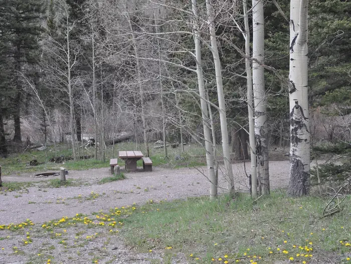 Lake Fork(rio Grande Natl ForeCampingPhoto: Recreation.gov (RIDB) / public domain6.5 mi
- Kerr Lake Fishing SiteLake fishing7.4 mi
Source: Roamze catalog (indexable pages within 10 miles, PostGIS distance)
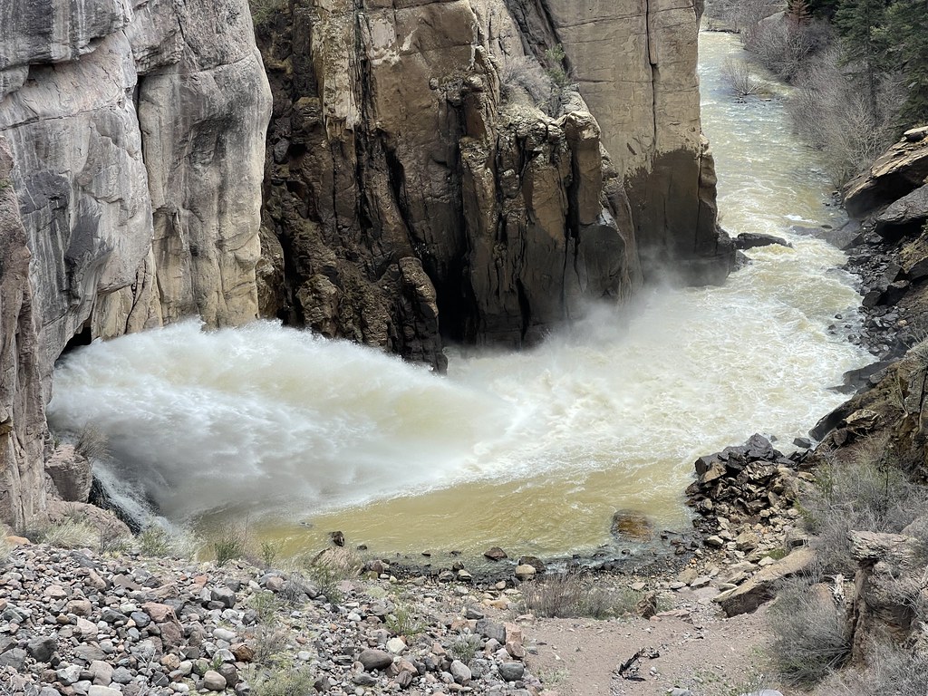 Hot Creek TrailHiking · ~10 min drivePhoto: Jeffrey Beall, CC BY-SA 2.0 (via Flickr)
 Valdez TrailHiking · ~15 min drivePhoto: JustTooLazy, CC BY 2.0 (via Flickr)
- Alamosa Rock TrailHiking · ~3 min drive
- Silver Mountain TrailHiking · ~9 min drive
- South Rock TrailHiking · ~12 min drive
 No Name LakeHiking · ~23 min drivePhoto: Michael C. Rael, CC BY 2.0 (via Flickr)
- EMPEDRADO LAKEHiking · ~11 min drive
- Willow Mountain TrailHiking · ~11 min drive
- Acascosa TrailHiking · ~12 min drive
- HOT CREEKHiking · ~6 min drive
Map and trail data © OpenStreetMap contributors
