


San Luis Valley Campground
Hiking business nearby (~25 mi away) — hasn't claimed their Roamze page yet
Free — you'll pick up right here.
Watch this trail
Sign up to watch it — saving subscribes you to gate, closure and report changes.
Colorado
10.1 mi
Distance
2,726 ft
Gain
We won't guess. Here is exactly what we do and don't know.
What we do know
Inside Pike and San Isabel National Forests
2 managing-area boundaries mapped — agency alerts for them feed this page automatically.
Boundary data
What's missing
No access route mapped
We don't yet know which road reaches this trailhead, so we can't tell you if it's gated.
Nobody's filed a report here yet — be the first.
Why you'll love it
Horn Creek
AI-suggested draft · review before you go
Horn Creek Trail is a 10.1-mile out-and-back hike located in Colorado near the San Juan National Forest's Gunnison Ranger District. The trail offers access to a scenic drainage area within the high country of southwestern Colorado. This out-and-back route allows hikers to turn back at any point, making it flexible for different fitness levels and time constraints. The trail is managed by the San Juan National Forest under the Gunnison Ranger District, ensuring it receives regular maintenance and oversight. The area is characteristic of Colorado's alpine and subalpine environments, with terrain typical of the San Juan Mountains region. Horn Creek Trail is ideal for hikers seeking a moderate-distance excursion into the national forest backcountry. The out-and-back format means hikers cover approximately 5 miles each direction, with the same route for both ascent and descent. Whether you're looking for a full 10-mile adventure or prefer to hike a shorter distance and return, this trail provides a straightforward hiking experience in the Gunnison area. Check with the Gunnison Ranger District for current trail conditions before heading out.

Phantom Terrace
~5 min drive
An expert singletrack out-and-back in Colorado connecting to Venable Peak and Spring Mountain, spanning 4.85 miles of technical terrain.

Humboldt
~7 min drive
2.7 mi · Easy

Comanche
~8 min drive
8.8 mi · Hard
Medano Pass
~24 min drive
<p>Medano Pass was likely the historic route used by Zebulon Pike in January 1807 as he led an expedition to explore this region. Today Medano Pass is primarily traveled by 4WD vehicle, on a rough 22-mile road connecting Great Sand Dunes with the Wet Mountain Valley and Colora…

Willow Lake
~9 min drive
9.7 mi · Moderate
Sand Creek Basin
~10 min drive
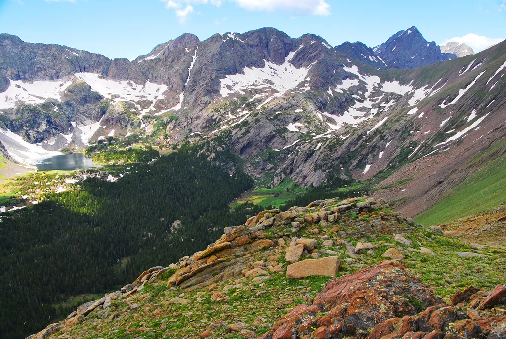
<p>Sand Creek Basin is part of the alpine watershed of Great Sand Dunes National Preserve. A longer drive and hike is required to reach these lakes and peaks, but the mountain scenery is worth the effort. Check with a ranger for conditions before travel. Snow may block these t…
North Fork Crestone
~8 min drive
17 mi · Hard
Comanche
~7 min drive
10 mi · Moderate
South Colony
~8 min drive
4.3 mi · Easy
North Crestone
~9 min drive
12 mi · Hard
Local operatorsoffering guided trips. You book directly with them — Roamze doesn’t take a cut.
San Luis Valley Campground
Hiking business nearby (~25 mi away) — hasn't claimed their Roamze page yet
Journey Quest
Hiking business nearby (~27 mi away) — hasn't claimed their Roamze page yet
Black Bear Retreat
Hiking business nearby (~33 mi away) — hasn't claimed their Roamze page yet