Tipi Village
Campground
Campground · 2.1 mi from the trail
Hills of Standley Lake Park Path is a short, easy out-and-back hike in Colorado, about 0.3 miles from the town of Leyden Junction. The route is just over half a mile long, with a total elevation gain of about 22 feet, so it's a gentle walk that can be done in about 30 minutes. The path starts at roughly 5,673 feet and reaches a high point of about 5,683 feet, with the climb profile described as flat. That makes it an easy choice for a quick stop before or after exploring the surrounding area. For comfortable weather, late spring and early fall are the best bets. Typical averages from a nearby weather station show May highs around 69°F and September highs around 76°F, while July averages climb to about 87°F. South Standley Lake Trails lies about 0.7 miles away, and Standley Lake Trail and Tipi Village are both about 2 miles off. Climbers can find the Redpoint Ridge Bouldering Wall roughly 4.8 miles away.
Tipi Village
Campground
 If it rainsFootwarrior, CC BY-SA 3.0 · Wikimedia Commons
Railroad museum in Golden, Colorado
Places © OpenStreetMap contributors · Photos: Footwarrior, CC BY-SA 3.0 (commons)
More in Idaho SpringsNot on Roamze yet. Their page has how to reach them.
 Tipi VillageCampingPhoto: Jeffrey Beall, CC BY 3.0 (via Wikimedia Commons)2.1 mi
 Standley Lake TrailHikingPhoto: jefbrr, CC BY 2.0 (via Flickr)2.1 mi
 Croke Canal TrailHikingPhoto: USFWS Mountain Prairie, CC BY 2.0 (via Flickr)2.2 mi
 The East QuarryRock climbingPhoto: ShanMcG213, CC BY-SA 2.0 (via Flickr)6.2 mi
Source: Roamze catalog (indexable pages within 10 miles, PostGIS distance)
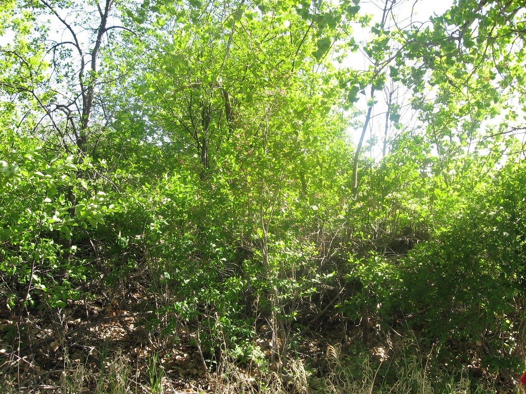 South Standley Lake TrailsHiking · ~3 min drivePhoto: jamieotterbein, CC BY-SA 2.0 (via Flickr)
 North Table Loop TrailHiking · ~9 min drivePhoto: gregor_y, CC BY-SA 2.0 (via Flickr)Standley Lake TrailHiking · ~4 min drivePhoto: jefbrr, CC BY 2.0 (via Flickr)Croke Canal TrailHiking · ~4 min drivePhoto: USFWS Mountain Prairie, CC BY 2.0 (via Flickr)
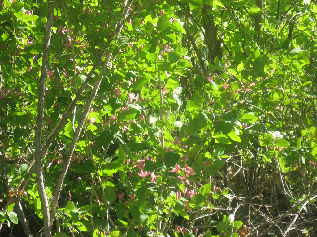 Trailside Creek TrailHiking · ~4 min drivePhoto: jamieotterbein, CC BY-SA 2.0 (via Flickr)
 Ketner Reservoir pathHiking · ~5 min drivePhoto: Jesse James — CC BY 2.0 (via Flickr)
 Pattridge Open SpaceHiking · ~5 min drivePhoto: InSapphoWeTrust from Los Angeles, California, USA, CC BY-SA 2.0 (via Wikimedia Commons)Croke Canal pathHiking · ~5 min drivePhoto: InSapphoWeTrust from Los Angeles, California, USA, CC BY-SA 2.0 (via Wikimedia Commons)Countryside Creek TrailHiking · ~6 min drivePhoto: jefbrr, CC BY 2.0 (via Flickr)
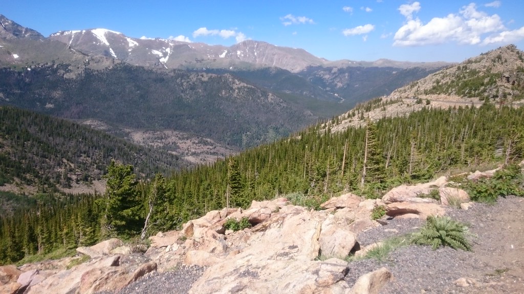 Van Bibber Creek TrailHiking · ~6 min drivePhoto: Maria Vorontsova, Public Domain Dedication (CC0) (via Flickr)
Best months: April–June and August–October. Best months have typical highs of 55–85 °F, lows of 30 °F or warmer (32 °F where the station doesn't record snow), at most one snowy day and no more than 12 wet days.
Jan
45° / 23°
4 wet
Feb
46° / 22°
5 wet
Mar
54° / 29°
6 wet
Apr
60° / 35°
8 wet
May
69° / 45°
9 wet
Jun
81° / 55°
7 wet
Jul
87° / 61°
7 wet
Aug
84° / 59°
8 wet
Sep
76° / 51°
6 wet
Oct
64° / 39°
5 wet
Nov
53° / 30°
4 wet
Dec
45° / 23°
4 wet
Typical high / low (°F) and days with rain or snow, 1991–2020. Measured at Ralston Rsvr, CO, 5.1 mi away at 5,900 ft. This station doesn't record snowfall. Source: NOAA NCEI U.S. Climate Normals 1991–2020.
Map and trail data © OpenStreetMap contributors
