Tipi Village
Campground
Campground · 3.4 mi from the trail
 Photo: USFWS Mountain Prairie, CC BY 2.0 (via Flickr)
Croke Canal Trail is an easy, short out-and-back hike in Colorado, about half a mile from the community of Paradise Acres. The trail is just under a mile long, with a flat profile and a total climb of 25 feet, so it's a gentle walk suitable for anyone looking for a quick stop close to town. The trail starts at about 5,560 feet and reaches a high point of 5,560 feet. The entire route is nearly flat, with a small gain and loss of elevation, making it an easy option for a short outing. For comfortable weather, aim for late spring or early fall. Typical averages from the nearby Wheat Ridge weather station show highs around 71°F in May and 79°F in September, while July averages reach about 88°F. Several other trails lie within about two miles, including South Standley Lake Trails, Yankee Doodle Trail and Trailside Creek Trail. Tipi Village campground is about 3.4 miles away.
Tipi Village
Campground
 If it rainsClyde Charles Brown, CC BY-SA 4.0 · Wikimedia Commons
Places © OpenStreetMap contributors · Photos: Clyde Charles Brown, CC BY-SA 4.0 (commons)
More in Idaho SpringsNot on Roamze yet. Their page has how to reach them.
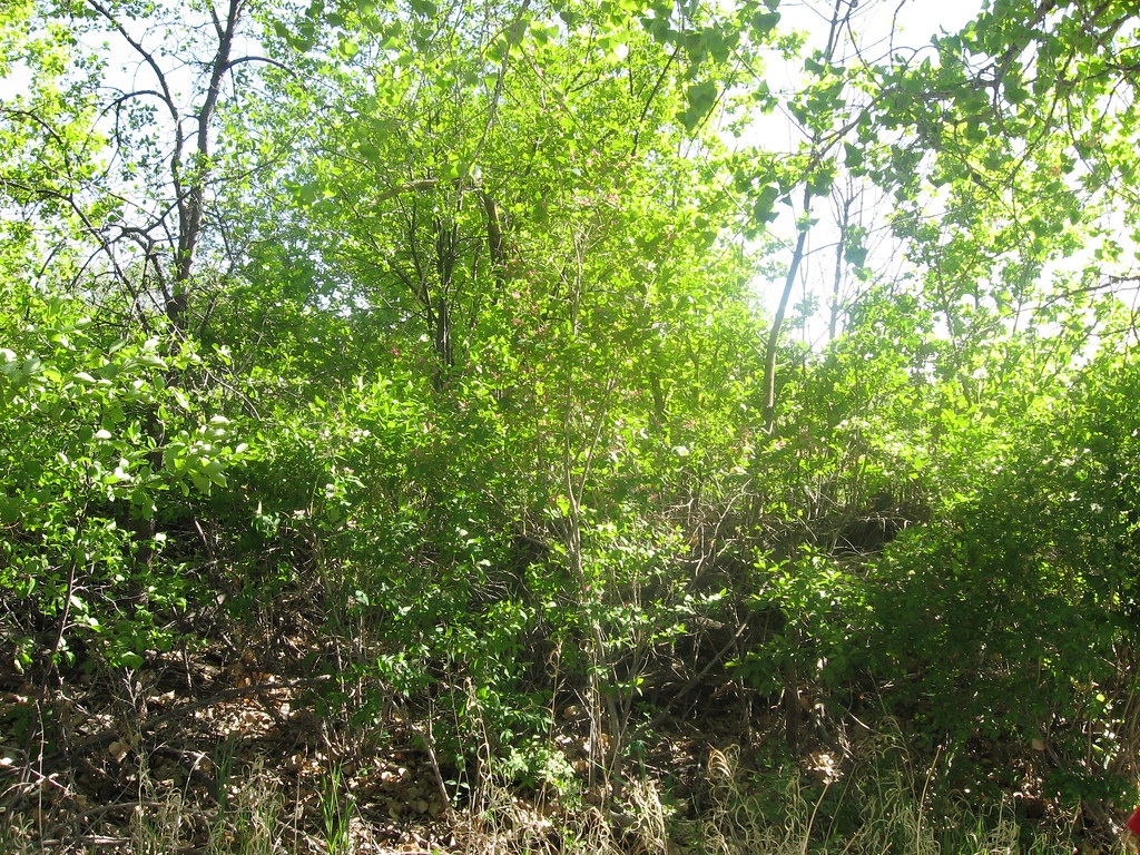 South Standley Lake TrailsHikingPhoto: jamieotterbein, CC BY-SA 2.0 (via Flickr)1.7 mi
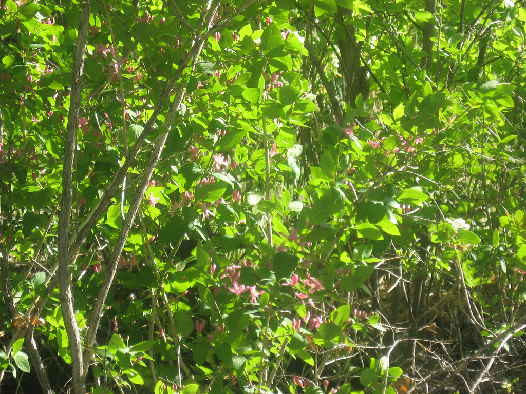 Trailside Creek TrailHikingPhoto: jamieotterbein, CC BY-SA 2.0 (via Flickr)1.9 mi
 Tipi VillageCampingPhoto: Jeffrey Beall, CC BY 3.0 (via Wikimedia Commons)3.4 mi
 The East QuarryRock climbingPhoto: ShanMcG213, CC BY-SA 2.0 (via Flickr)6.3 mi
Source: Roamze catalog (indexable pages within 10 miles, PostGIS distance)
South Standley Lake TrailsHiking · ~3 min drivePhoto: jamieotterbein, CC BY-SA 2.0 (via Flickr)Trailside Creek TrailHiking · ~3 min drivePhoto: jamieotterbein, CC BY-SA 2.0 (via Flickr) Standley Lake TrailHiking · ~4 min drivePhoto: jefbrr, CC BY 2.0 (via Flickr)
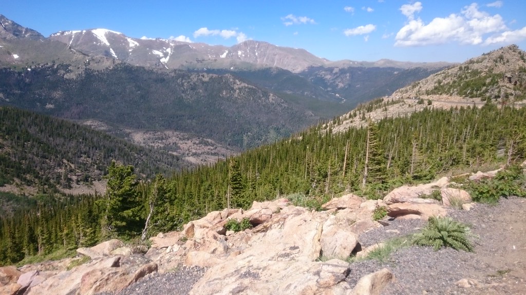 Van Bibber Creek TrailHiking · ~4 min drivePhoto: Maria Vorontsova, Public Domain Dedication (CC0) (via Flickr)Van Bibber Park Outer Loop TrailHiking · ~5 min drivePhoto: Maria Vorontsova, Public Domain Dedication (CC0) (via Flickr)Van Bibber Park Outer Loop TrailHiking · ~5 min drivePhoto: Maria Vorontsova, Public Domain Dedication (CC0) (via Flickr)
 Croke Canal pathHiking · ~5 min drivePhoto: InSapphoWeTrust from Los Angeles, California, USA, CC BY-SA 2.0 (via Wikimedia Commons)
 Johnson to Anderson Park Foot PathHiking · ~6 min drivePhoto: ToGa Wanderings, CC BY 2.0 (via Flickr)Johnson to Anderson Park Loop, Clear CreekHiking · ~6 min drivePhoto: ToGa Wanderings, CC BY 2.0 (via Flickr)
 Ketner Reservoir pathHiking · ~7 min drivePhoto: Jesse James — CC BY 2.0 (via Flickr)
Best months: April–June and September–October. Best months have typical highs of 55–85 °F, lows of 30 °F or warmer (32 °F where the station doesn't record snow), at most one snowy day and no more than 12 wet days.
Jan
47° / 17°
5 wet
Feb
48° / 18°
6 wet
Mar
57° / 26°
7 wet
Apr
62° / 33°
9 wet
May
71° / 43°
10 wet
Jun
83° / 51°
9 wet
Jul
88° / 57°
9 wet
Aug
86° / 54°
8 wet
Sep
79° / 45°
7 wet
Oct
66° / 34°
6 wet
Nov
55° / 24°
6 wet
Dec
47° / 17°
5 wet
Typical high / low (°F) and days with rain or snow, 1991–2020. Measured at Wheat Ridge 2, CO, 3.7 mi away at 5,398 ft. This station doesn't record snowfall. Source: NOAA NCEI U.S. Climate Normals 1991–2020.
Map and trail data © OpenStreetMap contributors

