Camp Patiya
Campground
Campground · 2.2 mi from the trail
 Photo: MarkDoliner, CC BY-SA 2.0 (via Flickr)
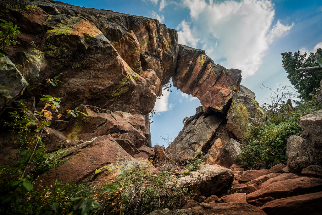
Green Mountain West Ridge Trail is a short out-and-back hike on city land in Colorado, sitting at about 7,850 feet with a high point of 7,871 feet. The route is roughly 0.74 miles long and rises about 432 feet, with the steepest stretch at 0.17 miles in from the start. The climb is rolling, so the terrain stays mostly gentle throughout. Summer is the most comfortable time to go. Typical averages from a nearby weather station show July highs around 79°F with lows near 50°F, while winter highs stay near 40°F. The hike makes an easy pairing with other outings close by. E.M. Greenman Trail is 0.2 miles away, and the Main Cliffs and Sacred Cliffs climbing areas are also within about a fifth of a mile. Bear Peak West Ridge Trail is about 0.6 miles off.
Camp Patiya
Campground
 If it rainsGaurav, CC BY 3.0 · Wikimedia Commons
Museum of Natural History - Henderson Building
Museum
Places © OpenStreetMap contributors, Places © Overture Maps Foundation · Photos: Gaurav, CC BY 3.0 (commons)
More in Idaho SpringsNot on Roamze yet. Their page has how to reach them.
 E.M. Greenman TrailHikingPhoto: Christian Collins, CC BY-SA 2.0 (via Flickr)0.2 miThe Main CliffsRock climbingPhoto: MarkDoliner, CC BY-SA 2.0 (via Flickr)0.2 miPebble BeachRock climbingPhoto: MarkDoliner, CC BY-SA 2.0 (via Flickr)0.2 mi
 Bear Peak West Ridge TrailHikingPhoto: Stepan Mazurov, CC BY-SA 2.0 (via Flickr)0.6 mi
 Boulder CreekCanoeingPhoto: Susan from Alameda, CA, USA, CC BY 2.0 (via Wikimedia Commons)2 mi
 South Boulder CreekCanoeingPhoto: Jeffrey Beall, CC BY 3.0 (via Wikimedia Commons)6.5 mi
Source: Roamze catalog (indexable pages within 10 miles, PostGIS distance)
E.M. Greenman TrailHiking · Next doorPhoto: Christian Collins, CC BY-SA 2.0 (via Flickr)Green Mountain West Ridge TrailHiking · Next doorPhoto: Stepan Mazurov, CC BY-SA 2.0 (via Flickr)Bear Peak West Ridge TrailHiking · ~1 min drivePhoto: Stepan Mazurov, CC BY-SA 2.0 (via Flickr) Ranger TrailHiking · ~1 min drivePhoto: Jacob Dong, CC BY-SA 4.0 (via Wikimedia Commons)Green Bear TrailHiking · ~1 min drivePhoto: Stepan Mazurov, CC BY-SA 2.0 (via Flickr)
 Long Canyon TrailHiking · ~1 min drivePhoto: Josh Gross — CC BY 2.0 (via Flickr)
 Bear CanyonHiking · ~1 min drivePhoto: michaelwm25, CC BY 3.0 (via Wikimedia Commons)
 Kohler Mesa TrailHiking · ~2 min drivePhoto: kalestews, CC BY 2.0 (via Flickr)
 Mallory Cave TrailHiking · ~2 min drivePhoto: Christian Collins, CC BY-SA 2.0 (via Flickr)Mesa TrailHiking · ~2 min drivePhoto: Christian Collins, CC BY-SA 2.0 (via Flickr)
Best months: May–September. Best months have typical highs of 55–85 °F, lows of 30 °F or warmer (32 °F where the station doesn't record snow), at most one snowy day and no more than 12 wet days.
Jan
39° / 17°
5 wet
Feb
40° / 17°
5 wet
Mar
47° / 22°
6 wet
Apr
52° / 27°
8 wet
May
61° / 35°
10 wet
Jun
73° / 44°
9 wet
Jul
79° / 50°
10 wet
Aug
77° / 48°
11 wet
Sep
70° / 41°
8 wet
Oct
57° / 31°
6 wet
Nov
47° / 24°
5 wet
Dec
40° / 17°
5 wet
Typical high / low (°F) and days with rain or snow, 1991–2020. Measured at Gross Rsvr, CO, 4 mi away at 7,970 ft. This station doesn't record snowfall. Source: NOAA NCEI U.S. Climate Normals 1991–2020.
Map and trail data © OpenStreetMap contributors

