Camp Patiya
Campground
Campground · 2.0 mi from the trail
 Photo: michaelwm25, CC BY 3.0 (via Wikimedia Commons)
Bear Canyon is a moderate out-and-back hike on city-managed land in Colorado, about 2 miles from the start. The route runs about 4.4 miles round trip, with a total climb of nearly 1,800 feet, which makes it a steady, sustained ascent rather than a short climb. The trail's high point sits at about 7,235 feet, and the climb is steepest at roughly 0.6 miles in, where the grade reaches about 16 percent. That makes the first stretch the most demanding part of the hike, and the route is best approached with time to walk it at a comfortable pace. A typical trip takes about 2.5 hours. Summer and early fall are the most comfortable times to go. Typical averages from a nearby weather station show July highs around 79°F with lows near 50°F, and September highs near 70°F. That station sits about 735 feet higher than the trail's start, so expect the canyon to run a bit warmer. Several other outings lie close by. Green Bear Trail is about a third of a mile away, and Bear Peak West Ridge Trail is about 0.4 miles off. The Fi climbing area is about 0.6 miles away, and Winiger Ridge campground is about 4 miles from the trail.
Camp Patiya
Campground
 If it rainsGaurav, CC BY 3.0 · Wikimedia Commons
Museum of Natural History - Henderson Building
Museum
Places © OpenStreetMap contributors · Photos: Gaurav, CC BY 3.0 (commons)
More in Idaho SpringsNot on Roamze yet. Their page has how to reach them.
 Green Bear TrailHikingPhoto: Stepan Mazurov, CC BY-SA 2.0 (via Flickr)0.3 miBear Peak West Ridge TrailHikingPhoto: Stepan Mazurov, CC BY-SA 2.0 (via Flickr)0.4 mi
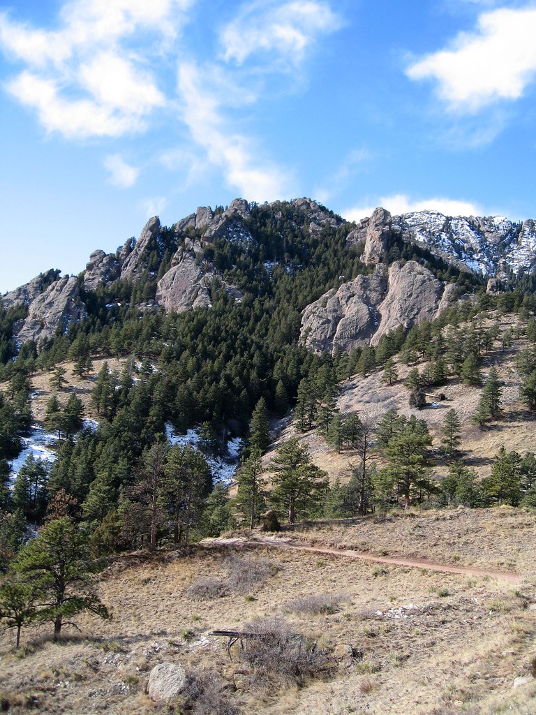 FiRock climbingPhoto: laurascudder, CC BY-SA 2.0 (via Flickr)0.6 mi
 Boulder CreekCanoeingPhoto: Susan from Alameda, CA, USA, CC BY 2.0 (via Wikimedia Commons)2.8 mi
 South Boulder CreekCanoeingPhoto: Jeffrey Beall, CC BY 3.0 (via Wikimedia Commons)6.3 mi
Source: Roamze catalog (indexable pages within 10 miles, PostGIS distance)
Green Bear TrailHiking · Next doorPhoto: Stepan Mazurov, CC BY-SA 2.0 (via Flickr) Green Mountain West Ridge TrailHiking · ~1 min drivePhoto: MarkDoliner, CC BY-SA 2.0 (via Flickr)
 Walker Ranch LoopHiking · ~4 min drivePhoto: Tony Webster — CC BY 2.0 (via Flickr)Bear Peak West Ridge TrailHiking · Next doorPhoto: Stepan Mazurov, CC BY-SA 2.0 (via Flickr)Green Mountain West Ridge TrailHiking · ~2 min drivePhoto: Stepan Mazurov, CC BY-SA 2.0 (via Flickr)
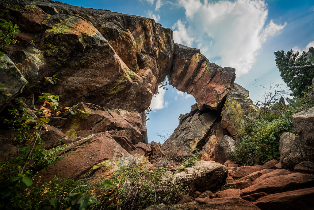 E.M. Greenman TrailHiking · ~1 min drivePhoto: Christian Collins, CC BY-SA 2.0 (via Flickr)
 Fern CanyonHiking · ~2 min drivePhoto: micahcraig, CC BY-SA 2.0 (via Flickr)Bear Peak TrailHiking · ~1 min drivePhoto: michaelwm25, CC BY 3.0 (via Wikimedia Commons)
 Bear Canyon - NCAR TrailHiking · ~2 min drivePhoto: Wendell Smith, CC BY 3.0 (via Wikimedia Commons)
 Fern Canyon TrailHiking · ~2 min drivePhoto: kalestews, CC BY 2.0 (via Flickr)
Best months: May–September. Best months have typical highs of 55–85 °F, lows of 30 °F or warmer (32 °F where the station doesn't record snow), at most one snowy day and no more than 12 wet days.
Jan
39° / 17°
5 wet
Feb
40° / 17°
5 wet
Mar
47° / 22°
6 wet
Apr
52° / 27°
8 wet
May
61° / 35°
10 wet
Jun
73° / 44°
9 wet
Jul
79° / 50°
10 wet
Aug
77° / 48°
11 wet
Sep
70° / 41°
8 wet
Oct
57° / 31°
6 wet
Nov
47° / 24°
5 wet
Dec
40° / 17°
5 wet
Typical high / low (°F) and days with rain or snow, 1991–2020. Measured at Gross Rsvr, CO, 3.5 mi away at 7,970 ft. The station sits about 700 ft higher than this place, so expect it a little warmer here. This station doesn't record snowfall. Source: NOAA NCEI U.S. Climate Normals 1991–2020.
Map and trail data © OpenStreetMap contributors

