Chatfield State Park
Campground
Campground · 4.1 mi from the trail
 Photo: Ben Mason, CC BY 2.0 (via Flickr)
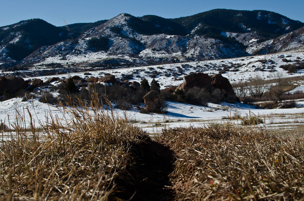
Grazing Elk Trail is a short out-and-back hike in South Valley Park, on county land in Colorado, about half a mile from the town of Chatfield. It is an easy walk, covering about a mile round trip with a total of about 200 feet of elevation gain and loss, and the high point sits at about 6,037 feet. The climb is front-loaded, with the steepest stretch coming at about 0.37 miles from the start, where the grade reaches about 6%. The trail starts and ends at roughly 5,921 feet, so the change in elevation is modest and the pace can be relaxed. For comfortable weather, aim for late spring or early fall. Typical averages from the nearby Kassler weather station run from highs around 69°F in May to 78°F in September, with July peaking near 87°F. That station sits about 450 feet lower than the trail's high point, so temperatures on the trail run a little cooler. The trail makes an easy anchor for a longer outing. Swallow Trail and Coyote Song Trail both start within about a third of a mile, and Columbine Trail lies about 0.6 miles away. For an overnight stay, Chatfield Campground is about 4.4 miles off.
Chatfield State Park
Campground
 If it rainsJean-Luc Margot, Public domain · Wikimedia Commons
Places © OpenStreetMap contributors, Places © Overture Maps Foundation · Photos: Jean-Luc Margot, Public domain (commons)
More in Idaho SpringsNot on Roamze yet. Their page has how to reach them.
 Swallow TrailHikingPhoto: Ben Mason, CC BY 2.0 (via Flickr)0.3 mi
 Coyote Song TrailHikingPhoto: Ben Mason, CC BY 2.0 (via Flickr)0.3 miColumbine TrailHikingPhoto: Ben Mason, CC BY 2.0 (via Flickr)0.6 mi
 Chatfield CampgroundCampingPhoto: Jeffrey Beall, CC BY-SA 4.0 (via Wikimedia Commons)4.4 mi
 Plum CreekCanoeingPhoto: Jeffrey Beall, CC BY 4.0 (via Wikimedia Commons)8.8 mi
Source: Roamze catalog (indexable pages within 10 miles, PostGIS distance)
Swallow TrailHiking · Next doorPhoto: Ben Mason, CC BY 2.0 (via Flickr) Massey Draw TrailHiking · ~4 min drivePhoto: Ken Lund, CC BY-SA 2.0 (via Flickr)Coyote Song TrailHiking · Next doorPhoto: Ben Mason, CC BY 2.0 (via Flickr)Grazing Elk TrailHiking · Next doorPhoto: Ben Mason, CC BY 2.0 (via Flickr)
 Coyote Song TrailHiking · Next doorPhoto: Ben Mason, CC BY 2.0 (via Flickr)Columbine TrailHiking · ~1 min drivePhoto: Ben Mason, CC BY 2.0 (via Flickr)
Best months: April–June and August–October. Best months have typical highs of 55–85 °F, lows of 30 °F or warmer (32 °F where the station doesn't record snow), at most one snowy day and no more than 12 wet days.
Jan
47° / 17°
4 wet
Feb
47° / 18°
5 wet
Mar
55° / 26°
6 wet
Apr
60° / 33°
8 wet
May
69° / 43°
9 wet
Jun
81° / 52°
8 wet
Jul
87° / 59°
9 wet
Aug
85° / 57°
9 wet
Sep
78° / 48°
7 wet
Oct
66° / 36°
6 wet
Nov
54° / 25°
5 wet
Dec
46° / 17°
4 wet
Typical high / low (°F) and days with rain or snow, 1991–2020. Measured at Kassler, CO, 5.1 mi away at 5,587 ft. This station doesn't record snowfall. Source: NOAA NCEI U.S. Climate Normals 1991–2020.
Map and trail data © OpenStreetMap contributors
