
Upper Wind River
Campground
0.9 mi from the trail
 Photo: christinejwarner, CC BY 2.0 (via Flickr)
Glacier Creek Trail is an easy hike of about 1.8 miles in Rocky Mountain National Park in Colorado, managed by the National Park Service. The trail gains about 400 feet in elevation, making it a short, low-effort outing that pairs well with other stops in the park. Summer is the most comfortable time to go. Typical averages from a nearby weather station in Estes Park show July highs around 80°F with lows near 48°F, while winter highs stay in the mid-30s. The trail sits right next to Glacier Creek, a canoeing spot about 0.1 mile away. Boulder Brook Trail and Sprague Lake are both within half a mile, and Rocky Mountain National Park Glacier Basin Campground is about 1.5 miles off.
Where it is: Rocky Mountain National Park
Watch for: Creek crossings, slippery rocks, wildlife encounters
Season: Spring brings snowmelt and higher creek flows; summer offers best conditions; fall provides colorful foliage
Best months: May–June and September. Best months have typical highs of 55–85 °F, lows of 30 °F or warmer (32 °F where the station doesn't record snow), at most one snowy day and no more than 12 wet days.
Jan
37°
16°
7 wet
Feb
38°
16°
8 wet
Mar
45°
21°
9 wet
Apr
52°
26°
10 wet
May
61°
35°
12 wet
Jun
74°
43°
10 wet
Jul
80°
48°
13 wet
Aug
78°
46°
13 wet
Sep
70°
39°
9 wet
Oct
57°
30°
7 wet
Nov
44°
23°
6 wet
Dec
36°
16°
7 wet
Typical high / low (°F) and days with rain or snow, 1991–2020. Measured at Estes Park 3 Sse, CO, 5.5 mi away at 7,812 ft. We don't have this place's elevation, so higher spots nearby can run cooler. This station doesn't record snowfall. Source: NOAA NCEI U.S. Climate Normals 1991–2020.
Been here? Tell people how it was.
 Boulder Brook TrailHikingPhoto: Greg Willis from Denver, CO, usa, CC BY-SA 2.0 (via Wikimedia Commons)0.4 mi
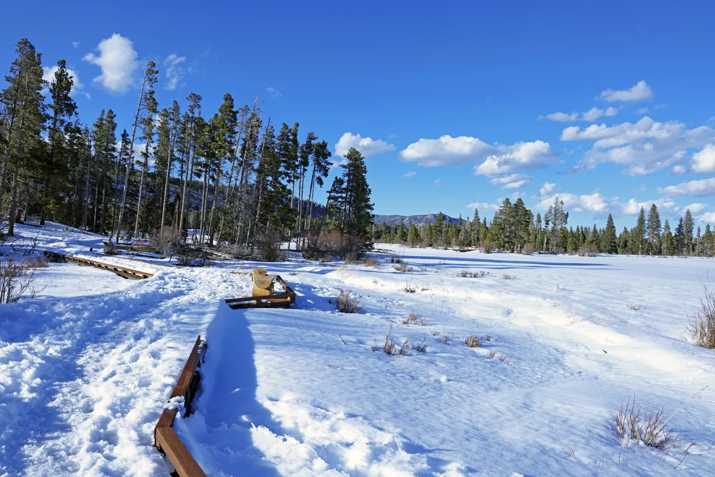 Sprague LakeHikingPhoto: NPS / public domain0.5 mi
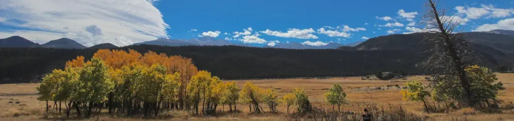 Rocky Mountain National Park Glacier Basin CampgroundCampingPhoto: Recreation.gov (RIDB) / public domain1.5 mi
 Mill Creek Basin TrailHikingPhoto: Elmschrat, CC BY-SA 3.0 (via Wikimedia Commons)~2 min drive
 Chiefs Head PeakHikingPhoto: Juhele_CZ, Public Domain Dedication (CC0) (via Flickr)~2 min driveSprague Lake Connector TrailsHikingPhoto: christinejwarner, CC BY 2.0 (via Flickr)Next doorMill Creek-Cub Lake ConnectorHikingPhoto: Elmschrat, CC BY-SA 3.0 (via Wikimedia Commons)~3 min drive
 Pagoda MountainHikingPhoto: Jim Halligan, CC BY 2.0 (via Wikimedia Commons)~2 min drive
Daily highs and lows, wind and the chance of precipitation at Start for the next 7 days, from the Open-Meteo model.
Questions about Glacier Creek Trail: conditions, access, timing. Answers say when something isn't known.
Upper Wind River
Campground
 If it rainsMatt Golon, CC BY-SA 3.0 · Wikimedia Commons
Places © OpenStreetMap contributors · Photos: Matt Golon, CC BY-SA 3.0 (commons)
More in Estes ParkNot on Roamze yet. Their page has how to reach them.
Map and trail data © OpenStreetMap contributors
