Foothills Trail
- 0.6 mi
- round trip
- 38 ft
- climb
- 5,113 ft
- high point
- Out and back
- route
- Apr–Jun, Aug–Oct
- best months
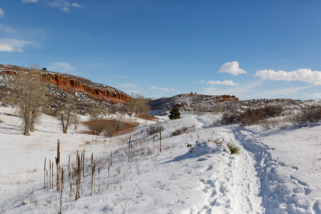
Foothills Trail is an easy hike in Colorado's Reservoir Ridge Natural Area, a city-managed natural area on city land. The trail is a short, out-and-back route of about 1.3 miles, with a low point of 5,092 feet and a high of 5,113 feet. The total climb is 38 feet, so it's a nearly flat walk with only a few steps up and down. The hike takes about half an hour to complete, and the start is close to the Michaud mountain bike trail, about half a mile away. For more time on foot, the North Loop Trail and Reservoir Ridge Trail both lie within about a mile and a quarter. Climbers can find North Horsetooth Ridge roughly 1.3 miles off.
Local outfitters
- Alpine Lodge at Red Feather Lakes27 mi away
- Wildcat Mountaineering27 mi away
Not on Roamze yet. Their page has how to reach them.
- michaudMountain biking0.5 mi
 North Loop TrailHikingPhoto: Mountain Roamer, CC BY-SA 2.0 (via Flickr)1 mi
- Reservoir Ridge TrailHikingPhoto: Mountain Roamer, CC BY-SA 2.0 (via Flickr)1.2 mi
- North Horsetooth RidgeRock climbing1.3 mi
- Mountain Bike Trail near Lincoln School PondMountain biking1.7 mi
- North QuarryRock climbing1.8 mi
 Lory State ParkRock climbingPhoto: KimonBerlin, CC BY-SA 2.0 (via Flickr)2 mi
 Cache la Poudre RiverCanoeingPhoto: Wusel007, CC BY-SA 3.0 (via Wikimedia Commons)8.6 mi
Source: Roamze catalog (indexable pages within 10 miles, PostGIS distance)
- North Loop TrailHiking · ~2 min drivePhoto: Mountain Roamer, CC BY-SA 2.0 (via Flickr)
- Foothills TrailHiking · ~2 min drive
- Foothills TrailHiking · ~2 min drivePhoto: Mountain Roamer, CC BY-SA 2.0 (via Flickr)
- Quarry Ridge LoopHiking · ~5 min drive
- Reservoir Ridge TrailHiking · ~2 min drivePhoto: Mountain Roamer, CC BY-SA 2.0 (via Flickr)
- Sawmill TrailHiking · ~7 min drive
 East Valley TrailHiking · ~4 min drivePhoto: KimonBerlin, CC BY-SA 2.0 (via Flickr)
- West Valley TrailHiking · ~4 min drivePhoto: KimonBerlin, CC BY-SA 2.0 (via Flickr)
 West Valley TrailHiking · ~5 min drivePhoto: Michael Kirsh, CC BY-SA 2.0 (via Flickr)
 Meadow TrailHiking · ~5 min drivePhoto: Vic Dillahay, CC BY 2.0 (via Flickr)
Best time to visit Foothills Trail
Best months: April–June and August–October. Best months have typical highs of 55–85 °F, lows of 30 °F or warmer (32 °F where the station doesn't record snow), at most one snowy day and no more than 12 wet days.
Jan
45° / 18°
4 wet
Feb
47° / 21°
5 wet
Mar
56° / 29°
6 wet
Apr
63° / 35°
9 wet
May
71° / 44°
12 wet
Jun
82° / 53°
10 wet
Jul
87° / 59°
9 wet
Aug
85° / 57°
9 wet
Sep
77° / 48°
7 wet
Oct
64° / 36°
6 wet
Nov
53° / 26°
5 wet
Dec
44° / 18°
4 wet
Typical high / low (°F) and days with rain or snow, 1991–2020. Measured at Ft Collins, CO, 3.8 mi away at 5,004 ft. This station doesn't record snowfall. Source: NOAA NCEI U.S. Climate Normals 1991–2020.
Map and trail data © OpenStreetMap contributors
