Bear Creek Lake City Park
Campground
Campground · 4.4 mi from the trail
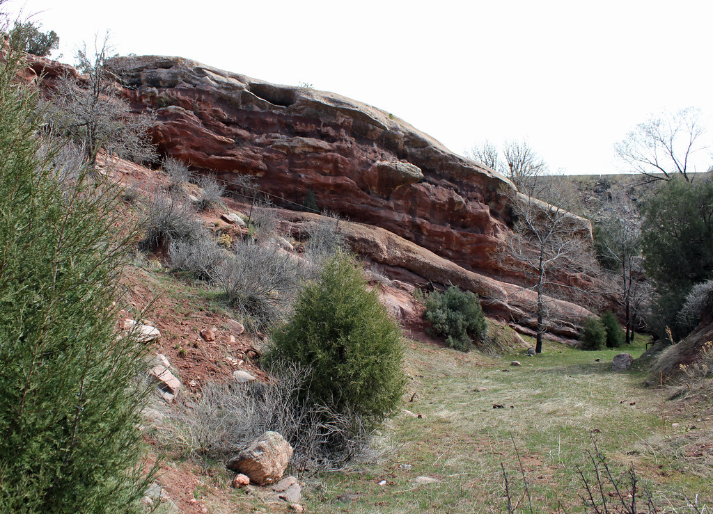
 Photo: Kristal Kraft from Lone Tree, usa, CC BY-SA 2.0 (via Wikimedia Commons)
Fence Line Trail is a moderate out-and-back hike in Colorado, about a mile from the community of Twin Forks. The trail is roughly 1.7 miles long, with a total elevation gain of 1,073 feet, and it starts and ends near 7,100 feet. The high point on the route reaches 7,102 feet, and the steepest stretch comes early, around 0.15 miles in, with a grade of about 17 percent. Summer is the most comfortable time to go. Typical averages from a nearby weather station in Evergreen show July highs around 81°F with lows near 49°F, while winter highs sit in the mid-40s. The trail sits close to several other routes. Baldy's Summit Trail, Black Bear Trail and Dark Canyon Trail all lie about 0.1 mile away. Climbers can find Lover's Leap about 1.2 miles off.
Bear Creek Lake City Park
Campground
 If it rainsJean-Luc Margot, Public domain · Wikimedia Commons
Places © OpenStreetMap contributors, Places © Overture Maps Foundation · Photos: Jean-Luc Margot, Public domain (commons)
More in Idaho SpringsNot on Roamze yet. Their page has how to reach them.
Baldy's Summit TrailHikingPhoto: Kristal Kraft from Lone Tree, usa, CC BY-SA 2.0 (via Wikimedia Commons)0.1 mi Bear CreekCanoeingPhoto: Footwarrior, CC BY-SA 3.0 (via Wikimedia Commons)7.4 mi
 Chatfield CampgroundCampingPhoto: Jeffrey Beall, CC BY-SA 4.0 (via Wikimedia Commons)8.5 mi
Source: Roamze catalog (indexable pages within 10 miles, PostGIS distance)
 Cody's Loop TrailHiking · Next doorPhoto: Jesse James — CC BY 2.0 (via Flickr)
 Weaver Gulch TrailHiking · ~1 min drivePhoto: Jeffrey Beall, CC BY-SA 2.0 (via Flickr)Wild Chipmunk trailHiking · ~1 min drivePhoto: Kristal Kraft from Lone Tree, usa, CC BY-SA 2.0 (via Wikimedia Commons)
 Devil's Elbow TrailHiking · ~4 min drivePhoto: Jacob Montgomery, CC BY-SA 3.0 (via Wikimedia Commons)
 Shaffer TrailHiking · ~2 min drivePhoto: Jesse James — CC BY 2.0 (via Flickr)Summit View TrailHiking · ~2 min drivePhoto: Jesse James — CC BY 2.0 (via Flickr)
 Lower Hidden ValleyTrailHiking · ~2 min drivePhoto: Ken Lund, CC BY-SA 2.0 (via Flickr)
Best months: May–September. Best months have typical highs of 55–85 °F, lows of 30 °F or warmer (32 °F where the station doesn't record snow), at most one snowy day and no more than 12 wet days.
Jan
44° / 12°
5 wet
Feb
44° / 13°
6 wet
Mar
51° / 21°
7 wet
Apr
56° / 27°
8 wet
May
64° / 36°
10 wet
Jun
76° / 43°
10 wet
Jul
81° / 49°
12 wet
Aug
79° / 47°
12 wet
Sep
73° / 40°
8 wet
Oct
61° / 29°
6 wet
Nov
51° / 20°
5 wet
Dec
44° / 13°
5 wet
Typical high / low (°F) and days with rain or snow, 1991–2020. Measured at Evergreen, CO, 6.5 mi away at 6,985 ft. This station doesn't record snowfall. Source: NOAA NCEI U.S. Climate Normals 1991–2020.
Map and trail data © OpenStreetMap contributors


