Edna Mae Bennet Nature Trail
 Photo: Brokentaco, CC BY 2.0 (via Flickr)
- 0.3 mi
- round trip
- 299 ft
- climb
- 6,422 ft
- high point
- Out and back
- route
- Apr–Jun, Aug–Oct
- best months
The Edna Mae Bennet Nature Trail is a short, easy hike in Palmer Park, a city-managed property in Colorado Springs, Colorado. The trail is 0.6 miles long and climbs about 299 feet round trip, with the high point at 6,422 feet. The climb is front-loaded, and the steepest stretch comes early at about 0.2 miles, reaching a 7% grade. The low point is at 6,336 feet, and the round trip takes about half an hour. For comfortable weather, aim for late spring or early fall. Typical averages from a nearby weather station show May highs around 71°F and September highs around 77°F, with July the warmest month at about 86°F. Several other outdoor spots sit close by. The Palmer Point Trail and the North Canyon Mini-Crag are each about 0.1 mile away, and the Mesa Trail is about 0.2 mile off. For an overnight stay, Foot of the Rockies RV Resort is about 4.8 miles away.
Local outfitters
- Broadmoor Outfitters7 mi away
- Gold Belt Tour Scenic and Historic Byway30 mi away
Not on Roamze yet. Their page has how to reach them.
- palmer point trailMountain biking0.1 mi
- North Canyon Mini-CragRock climbing0.1 mi
- Slab WallRock climbing0.1 mi
- Mesa TrailHikingPhoto: Brokentaco, CC BY 2.0 (via Flickr)0.2 mi
 Foot of the Rockies RV ResortCampingPhoto: CaroleHenson, CC BY-SA 3.0 (via Wikimedia Commons)4.8 mi
- Goldfield CampgroundCamping5.3 mi
 Fountain CreekCanoeingPhoto: Cassandra from Columbus, Ohio, USA, CC BY 2.0 (via Wikimedia Commons)7 mi
 Monument CreekCanoeingPhoto: Jeffrey Beall, CC BY 4.0 (via Wikimedia Commons)10 mi
Source: Roamze catalog (indexable pages within 10 miles, PostGIS distance)
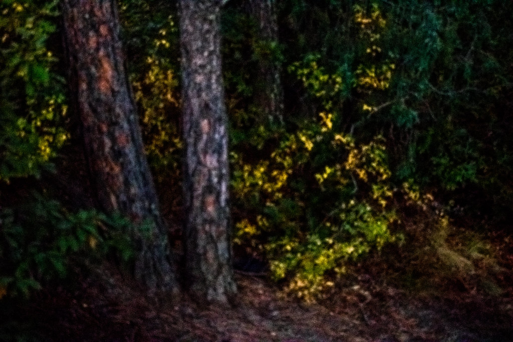 Palmer Point TrailHiking · Next doorPhoto: markbyzewski, CC BY 2.0 (via Flickr)
 Templeton TrailHiking · Next doorPhoto: markbyzewski, CC BY 2.0 (via Flickr)
- Palmer Point TrailHiking · Next doorPhoto: Brokentaco, CC BY 2.0 (via Flickr)
- Mesa TrailHiking · Next doorPhoto: Brokentaco, CC BY 2.0 (via Flickr)
 Edna Mae Bennet Nature TrailHiking · Next doorPhoto: CaroleHenson, CC BY-SA 3.0 (via Wikimedia Commons)
- West Cheyenne TrailHiking · Next doorPhoto: CaroleHenson, CC BY-SA 3.0 (via Wikimedia Commons)
- Templeton TrailHiking · Next doorPhoto: markbyzewski, CC BY 2.0 (via Flickr)
- Yucca TrailHiking · Next doorPhoto: markbyzewski, CC BY 2.0 (via Flickr)
- East Cheyenne TrailHiking · Next doorPhoto: CaroleHenson, CC BY-SA 3.0 (via Wikimedia Commons)
 Lazy Land TrailHiking · Next doorPhoto: markbyzewski, CC BY 2.0 (via Flickr)
Best time to visit Edna Mae Bennet Nature Trail
Best months: April–June and August–October. Best months have typical highs of 55–85 °F, lows of 30 °F or warmer (32 °F where the station doesn't record snow), at most one snowy day and no more than 12 wet days.
Jan
45° / 18°
4 wet
Feb
46° / 20°
5 wet
Mar
55° / 27°
7 wet
Apr
61° / 34°
8 wet
May
71° / 44°
10 wet
Jun
82° / 53°
10 wet
Jul
86° / 58°
12 wet
Aug
84° / 57°
12 wet
Sep
77° / 49°
7 wet
Oct
65° / 37°
5 wet
Nov
53° / 26°
5 wet
Dec
45° / 19°
4 wet
Typical high / low (°F) and days with rain or snow, 1991–2020. Measured at Colorado Springs Muni Ap, CO, 6.7 mi away at 6,181 ft. This station doesn't record snowfall. Source: NOAA NCEI U.S. Climate Normals 1991–2020.
Map and trail data © OpenStreetMap contributors
