Dunton River Camp
Campground
Campground · 4.0 mi from the trail
Closure in the area
There's a closure order in San Juan National Forest. It doesn't name Eagle Peak Trail, so check the source for the area it covers (3 listed).
Travel is not advised to the San Juan NF
Agency closure covering San Juan National Forest · USFS · San Juan National Forest
Closures and dangerous conditions on roads, bridges, and trails from flooding
Agency closure covering San Juan National Forest · USFS · San Juan National Forest
Multiple roads and trails damaged by flooding on SJNF
Agency closure covering San Juan National Forest · USFS · San Juan National Forest
Bear Activity High Across San Juan National Forest
Agency alert covering San Juan National Forest · USFS · San Juan National Forest
As of · Source: USFS · San Juan National Forest. Agencies don't list every closure — check before you go.
Eagle Peak Trail is a hard hike in the Mancos/Dolores Ranger District of Colorado's San Juan National Forest, managed by the Forest Service. The trail is an out-and-back route of about 12 miles, with a total climb of roughly 2,956 feet. The high point is about 11,767 feet, and the low point is about 10,237 feet. The steepest stretch comes at about 1.8 miles in, with a grade of about 28 percent. The trail starts near 11,755 feet, so the climb is back-loaded, and the descent is just as long as the ascent. That makes it a full-day outing rather than a short trip. Several other trails sit close by. Horse Creek Trail is about 0.1 mile away, and Calico Basin Trail and Johnny Bull Trail are within half a mile. For an overnight stay, Dunton River Camp is about 4 miles off.
Dunton River Camp
Campground
Enterprise Bar & Grill
Restaurant
Rico 1
Hot spring
Places © OpenStreetMap contributors
More in TellurideNot on Roamze yet. Their page has how to reach them.
 West Dolores RiverCanoeingPhoto: Jeffrey Beall, CC BY 4.0 (via Wikimedia Commons)6.3 mi
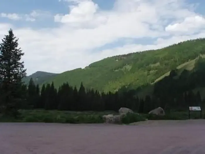 Cayton CampgroundCampingPhoto: Recreation.gov (RIDB) / public domain7.7 mi
Source: Roamze catalog (indexable pages within 10 miles, PostGIS distance)
 Burnett ConnectorHiking · ~7 min drivePhoto: cmirkin, CC BY-SA 2.0 (via Flickr)Rio Grande SouthernHiking · ~9 min drivePhoto: cmirkin, CC BY-SA 2.0 (via Flickr)
 School HouseHiking · ~13 min drivePhoto: Sale Family Memories, CC BY 2.0 (via Flickr)
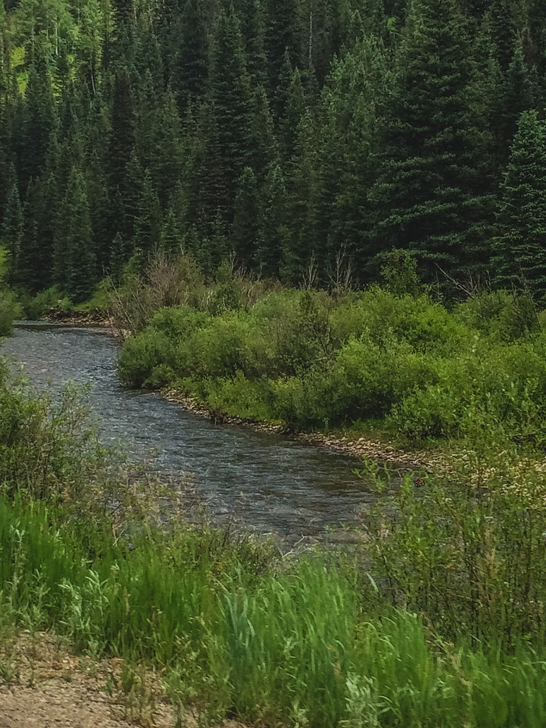 McjunkinHiking · ~8 min drivePhoto: Sale Family Memories, CC BY 2.0 (via Flickr)
Map and trail data © OpenStreetMap contributors
