Lodgepole Campground
Campground
Campground · 4.0 mi from the trail
Closure in the area
There's a closure order in Grand Mesa, Uncompahgre and Gunnison National Forests. It doesn't name Doctor Park, so check the source for the area it covers (2 listed).
Gold Mountain Wildfire Roads and Trails Closure Order v 4.0
Agency closure covering Grand Mesa, Uncompahgre and Gunnison National Forests · USFS · Grand Mesa, Uncompahgre and Gunnison National Forests
Ophir Pass Road Closure
Agency closure covering Grand Mesa, Uncompahgre and Gunnison National Forests · USFS · Grand Mesa, Uncompahgre and Gunnison National Forests
Potter Basin and Beaver Park Roads Emergency Closures
Agency alert covering Grand Mesa, Uncompahgre and Gunnison National Forests · USFS · Grand Mesa, Uncompahgre and Gunnison National Forests
TERMINATION OF ORDER - FIRE RESTRICTIONS
Agency alert covering Grand Mesa, Uncompahgre and Gunnison National Forests · USFS · Grand Mesa, Uncompahgre and Gunnison National Forests
Dallas Area Closure order
Agency alert covering Grand Mesa, Uncompahgre and Gunnison National Forests · USFS · Grand Mesa, Uncompahgre and Gunnison National Forests
As of · Source: USFS · Grand Mesa, Uncompahgre and Gunnison National Forests. Agencies don't list every closure — check before you go.
Doctor Park is a hike in the Gunnison Ranger District of the Grand Mesa, Uncompahgre and Gunnison National Forests, in western Colorado. The trail is a 13.2-mile out-and-back with a total elevation gain of 138 feet, starting at about 8,412 feet and climbing to a high point of about 10,916 feet. The Forest Service manages the land, and the route's natural surface allows horses. The trail is open year-round, and the climb is short and gentle, with the route's length and slight elevation gain making it a straightforward day on foot or horseback. Doctor Park Trail 424 lies about 0.3 miles away, and Doctor Park Bonus is about 1.1 miles off. For paddling, Spring Creek is about 2 miles away, and the Lodgepole (Taylor River Canyon near Gunnison, Colorado) campground sits about 4.1 miles from the trail.
Lodgepole Campground
Campground
Waunita Pass
Viewpoint
Places © OpenStreetMap contributors
More in Pitkin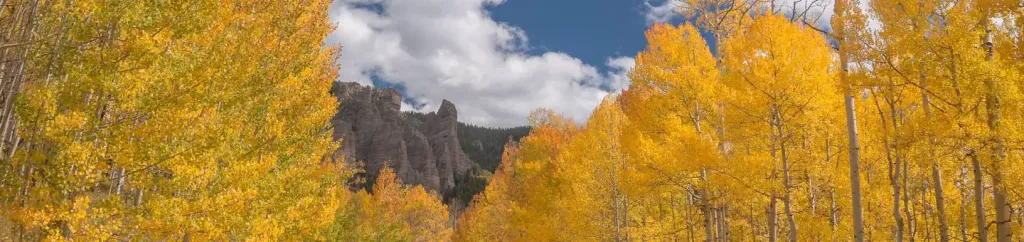 Lodgepole (Taylor River Canyon near Gunnison, COLORADO)CampingPhoto: Recreation.gov (RIDB) / public domain4.1 mi
Source: Roamze catalog (indexable pages within 10 miles, PostGIS distance)
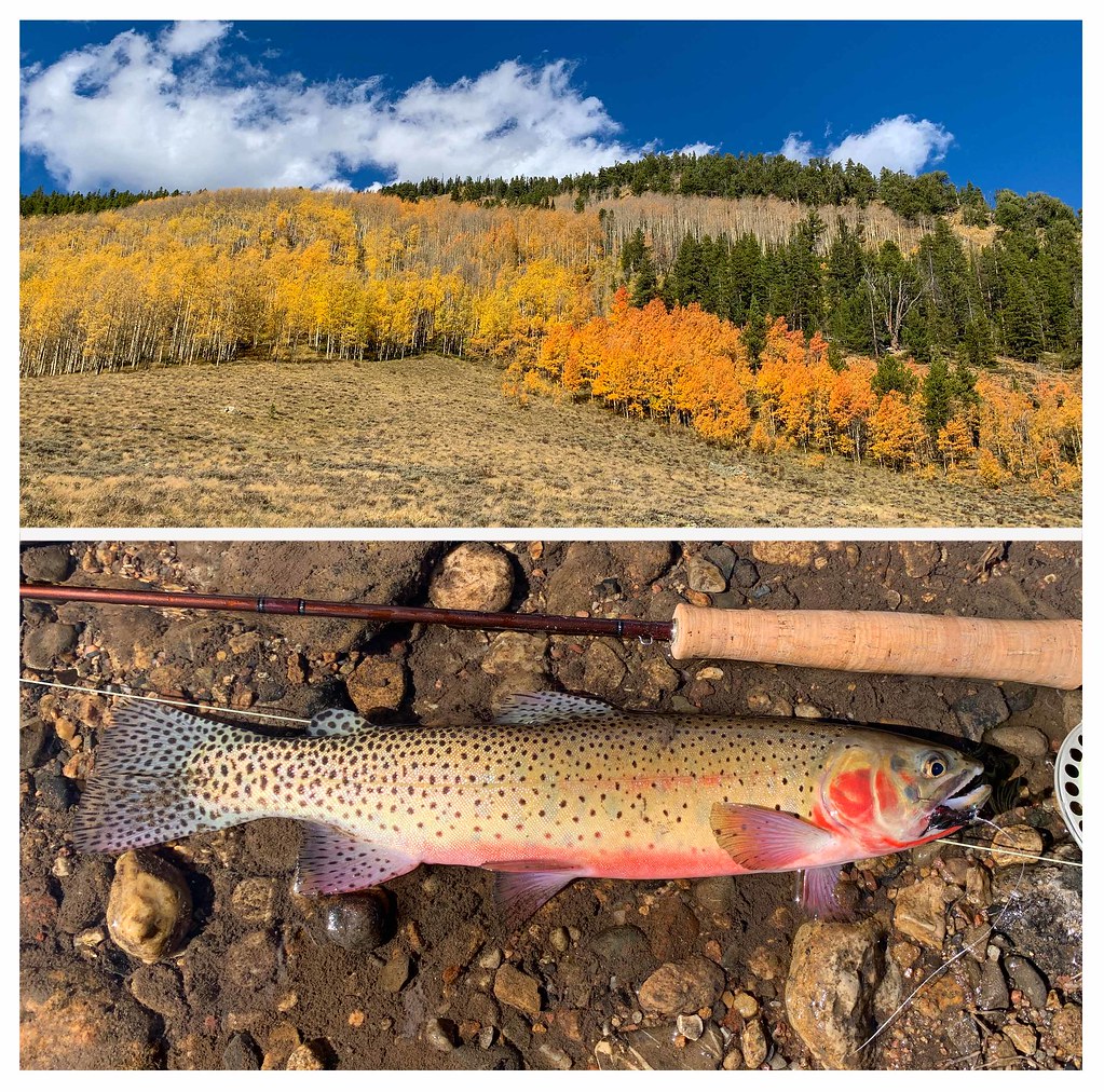 FLAG CREEKHiking · ~9 min drivePhoto: thart2009, CC BY 2.0 (via Flickr)
 Middle Cement CreekHiking · ~11 min drivePhoto: sean.bartell, CC BY-SA 2.0 (via Flickr)Bear Creek TrailHiking · ~10 min drivePhoto: thart2009, CC BY 2.0 (via Flickr)
 WATERFALL CUTOFFHiking · ~12 min drivePhoto: sean.bartell, CC BY-SA 2.0 (via Flickr)Flag Creek TrailHiking · ~10 min drivePhoto: thart2009, CC BY 2.0 (via Flickr)
Map and trail data © OpenStreetMap contributors
