Crystal Peak
- 3.2 mi
- round trip
- 1,001 ft
- climb
- 12,056 ft
- high point
- Out and back
- route
Is Crystal Peak open right now?
Closure in the area
There's a closure order in Grand Mesa, Uncompahgre and Gunnison National Forests. It doesn't name Crystal Peak, so check the source for the area it covers (2 listed).
Gold Mountain Wildfire Roads and Trails Closure Order v 4.0
Agency closure covering Grand Mesa, Uncompahgre and Gunnison National Forests · USFS · Grand Mesa, Uncompahgre and Gunnison National Forests
Ophir Pass Road Closure
Agency closure covering Grand Mesa, Uncompahgre and Gunnison National Forests · USFS · Grand Mesa, Uncompahgre and Gunnison National Forests
Potter Basin and Beaver Park Roads Emergency Closures
Agency alert covering Grand Mesa, Uncompahgre and Gunnison National Forests · USFS · Grand Mesa, Uncompahgre and Gunnison National Forests
TERMINATION OF ORDER - FIRE RESTRICTIONS
Agency alert covering Grand Mesa, Uncompahgre and Gunnison National Forests · USFS · Grand Mesa, Uncompahgre and Gunnison National Forests
Dallas Area Closure order
Agency alert covering Grand Mesa, Uncompahgre and Gunnison National Forests · USFS · Grand Mesa, Uncompahgre and Gunnison National Forests
As of · Source: USFS · Grand Mesa, Uncompahgre and Gunnison National Forests. Agencies don't list every closure — check before you go.
Crystal Peak is a moderate out-and-back hike in Colorado's Gunnison Ranger District, part of the Grand Mesa, Uncompahgre and Gunnison National Forests. The trail is about 3.2 miles long, with a one-way elevation gain of 1,001 feet, taking you from a low point of about 11,057 feet to a high point of about 12,056 feet. The Forest Service manages the land, and the route is open year-round. The trail is natural-surfaced and allows both horses and bikes, so it works for riders and pack animals as well as hikers. That makes it a flexible option for a day on foot or on horseback, with the added option of bringing a bike along. The peak sits among a cluster of trails and campgrounds. The Mount Tilton Spur Trail is about 1.2 miles away, and the Mount Tilton Trail and Campsite CC20 are each about 1.3 miles off. For paddling, the Taylor River is roughly 5.4 miles away.
Go with a guide
- Mineral Belt Trail Guided WalkRoamze · $25 per person · 33 mi away
- Taylor Park Trading Post15 mi away
- Mount Tilton Spur TrailHiking1.2 mi
- Campsite CC20Camping1.3 mi
- Mount Tilton TrailHiking1.3 mi
- Hunters Creek TrailHiking1.4 mi
 Campsite CC19CampingPhoto: John Sowell, CC BY-SA 4.0 (via Wikimedia Commons)2.2 mi
- Campsite CC18Camping2.6 mi
 Taylor RiverCanoeingPhoto: Jeffrey Beall, CC BY-SA 3.0 (via Wikimedia Commons)5.4 mi
- Brush CreekCanoeing6.9 mi
Source: Roamze catalog (indexable pages within 10 miles, PostGIS distance)
 Star Lily Connector Trail 623Hiking · ~6 min drivePhoto: John Sowell, CC BY-SA 4.0 (via Wikimedia Commons)
- Mount Tilton Spur TrailHiking · ~2 min drive
- CRYSTAL PEAKHiking · ~2 min drive
- Doubletop TrailHiking · ~4 min drive
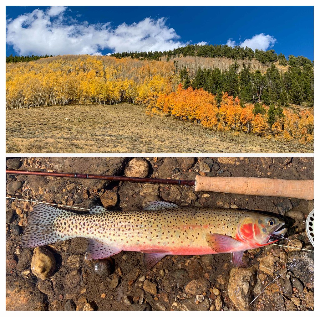 Bear Creek TrailHiking · ~9 min drivePhoto: thart2009, CC BY 2.0 (via Flickr)
- HUNTERS CREEKHiking · ~3 min drive
- Mount Tilton TrailHiking · ~2 min drive
- Waterfall Cutoff TrailHiking · ~8 min drive
- Flag Creek TrailHiking · ~9 min drivePhoto: thart2009, CC BY 2.0 (via Flickr)
- Cumberland BasinHiking · ~7 min drive

