Columbine Trail
- 3.5 mi
- round trip
- 827 ft
- climb
- 8,727 ft
- high point
- Out and back
- route
- May–Jun, Aug–Sep
- best months
Clear today
Weather is good · OpenWeather · checked 8 h ago
Columbine Trail is a 3.5-mile out-and-back route located in Colorado near Colorado, within the San Juan National Forest under the management of the Columbine Ranger District (West). The trail offers hikers a straightforward there-and-back experience ideal for those seeking a moderate outing in the San Juan range. This trail provides access to the natural landscapes managed by the Forest Service, showcasing the typical terrain and vegetation found in this region of southwestern Colorado. The out-and-back format makes it easy to customize your hike distance by turning around at any point along the route, giving flexibility for hikers of varying abilities. The Columbine Ranger District manages this area to balance recreation with forest conservation. Check with the ranger district for current trail conditions, seasonal closures, or any necessary permits before heading out. Local regulations and weather patterns typical to the San Juan National Forest should be considered when planning your visit. This trail serves as a solid option for exploring the national forest's backcountry near the Colorado area.
Local outfitters
- Four Seasons RV Park3 mi away
- Black Bear Retreat6 mi away
Not on Roamze yet. Their page has how to reach them.
- rainbow trailMountain biking1.3 mi
- Hunts PeakHiking1.8 mi
- Bushnell PeakHiking1.8 mi
- BLM 5971aMountain biking2.2 mi
 Salida EastCampingPhoto: Ken Lund from Reno, Nevada, USA, CC BY-SA 2.0 (via Wikimedia Commons)3.1 mi
- Four Seasons RV ParkCampingPhoto: Ken Lund from Reno, Nevada, USA, CC BY-SA 2.0 (via Wikimedia Commons)3.3 mi
- Point BarrCamping4.9 mi
- Riverside RV ParkCamping5.2 mi
Source: Roamze catalog (indexable pages within 10 miles, PostGIS distance)
 Pole Line TrailHiking · ~7 min drivePhoto: Ken Lund from Reno, Nevada, USA, CC BY-SA 2.0 (via Wikimedia Commons)
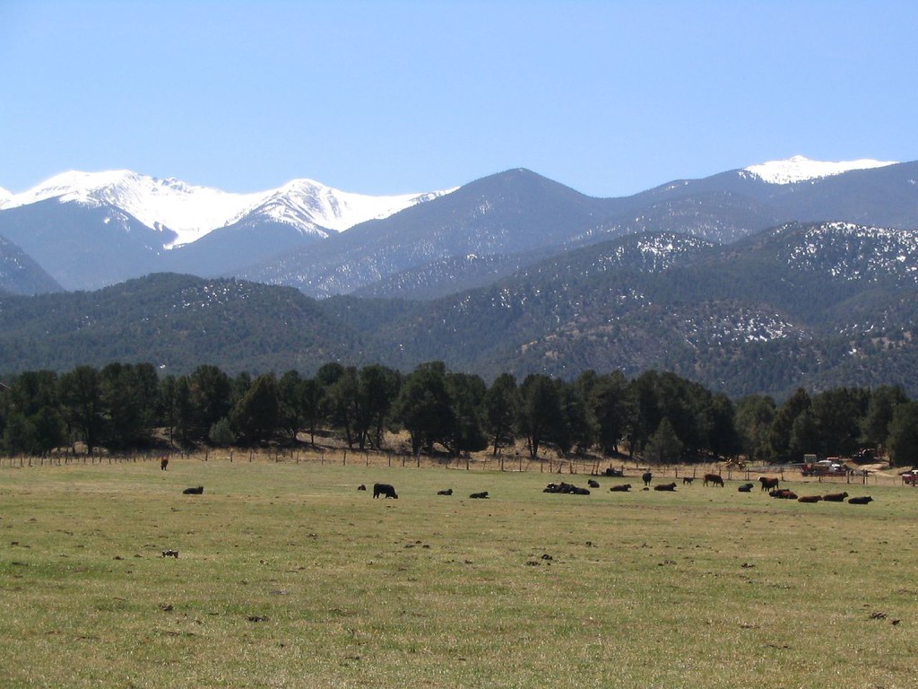 Dream On TrailHiking · ~8 min drivePhoto: Ken Lund, CC BY-SA 2.0 (via Flickr)
- Hunts PeakHiking · ~3 min drive
- Simmons PeakHiking · ~6 min drive
- Labyrinth TrailHiking · ~8 min drivePhoto: Ken Lund, CC BY-SA 2.0 (via Flickr)
- Chicken Dinner TrailHiking · ~8 min drivePhoto: Ken Lund, CC BY-SA 2.0 (via Flickr)
- Bushnell PeakHiking · ~3 min drive
- GutzHiking · ~4 min drive
- Pot O GoldHiking · ~7 min drive
- Sol Trail EastHiking · ~5 min drive
Best time to visit Columbine Trail
Best months: May–June and August–September. Best months have typical highs of 55–85 °F, lows of 30 °F or warmer (32 °F where the station doesn't record snow), at most one snowy day and no more than 12 wet days.
Jan
43° / 11°
2 wet
Feb
46° / 15°
2 wet
Mar
54° / 21°
4 wet
Apr
60° / 28°
5 wet
May
70° / 35°
5 wet
Jun
82° / 43°
5 wet
Jul
86° / 49°
8 wet
Aug
83° / 47°
10 wet
Sep
77° / 39°
6 wet
Oct
65° / 29°
4 wet
Nov
53° / 20°
3 wet
Dec
43° / 13°
3 wet
Typical high / low (°F) and days with rain or snow, 1991–2020. Measured at Salida, CO, 5.6 mi away at 7,160 ft. The station sits about 1,600 ft lower than this place, so expect it a little cooler here. This station doesn't record snowfall. Source: NOAA NCEI U.S. Climate Normals 1991–2020.
