Tipi Village
Campground
Campground · 4.2 mi from the trail
 Photo: Dave Dugdale, CC BY-SA 2.0 (via Flickr)
Clear at last check
Weather is good · OpenWeather · checked 18 h ago
Coalton Trail is a short, easy hike in Colorado, set on county land within the Mayhoffer unit. The route is about 2.8 miles long, and it gains roughly 400 feet of elevation, with the high point reaching about 5,800 feet. It makes an easy addition to a day spent exploring the surrounding trails. Late spring and early fall are the most comfortable times to go. Typical averages from a nearby weather station at a similar elevation show May highs around 69°F and September highs around 76°F, while July averages climb to about 87°F. The trail sits close to several other routes. Meadowlark Trail starts just 0.1 mile away, and McCaslin Trail is about 0.7 mile off. Singletree Trail is roughly 1.4 miles away, and Tipi Village campground is about 4.2 miles away.
Tipi Village
Campground
 If it rainsNwest21, CC BY-SA 4.0 · Wikimedia Commons
Planetarium in the United States
Places © OpenStreetMap contributors · Photos: Nwest21, CC BY-SA 4.0 (commons)
More in Idaho SpringsMeadowlark TrailHikingPhoto: Dave Dugdale, CC BY-SA 2.0 (via Flickr)0.1 mi Singletree TrailHikingPhoto: Dave Dugdale, CC BY-SA 2.0 (via Flickr)1.4 mi
 Tipi VillageCampingPhoto: Jeffrey Beall, CC BY 3.0 (via Wikimedia Commons)4.2 mi
 Boulder CreekCanoeingPhoto: Susan from Alameda, CA, USA, CC BY 2.0 (via Wikimedia Commons)9.5 mi
Source: Roamze catalog (indexable pages within 10 miles, PostGIS distance)
Singletree TrailHiking · ~2 min drivePhoto: Dave Dugdale, CC BY-SA 2.0 (via Flickr) Cowdrey Draw TrailHiking · ~5 min drivePhoto: joiseyshowaa from Freehold, NJ, USA, CC BY-SA 2.0 (via Wikimedia Commons)
 Community Ditch TrailHiking · ~5 min drivePhoto: Josh Gross — CC BY 2.0 (via Flickr)
 High Plains TrailHiking · ~5 min drivePhoto: Dave Dugdale, CC BY-SA 2.0 (via Flickr)
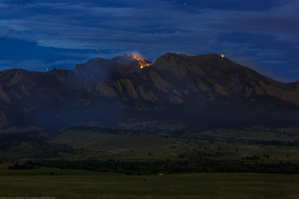 High Plains TrailHiking · ~6 min drivePhoto: Dave Dugdale, CC BY-SA 2.0 (via Flickr)
 Davidson Mesa TrailHiking · ~6 min drivePhoto: Jesse James — CC BY 2.0 (via Flickr)Greenbelt Plateau TrailHiking · ~6 min drivePhoto: Dave Dugdale, CC BY-SA 2.0 (via Flickr)
 Leon Wurl TrailHiking · ~6 min drivePhoto: joiseyshowaa from Freehold, NJ, USA, CC BY-SA 2.0 (via Wikimedia Commons)
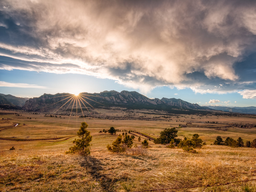 FlatIrons Vista TrailHiking · ~6 min drivePhoto: Max and Dee, CC BY 2.0 (via Flickr)Prairie Vista TrailHiking · ~6 min drivePhoto: Max and Dee, CC BY 2.0 (via Flickr)
Best months: April–June and August–October. Best months have typical highs of 55–85 °F, lows of 30 °F or warmer (32 °F where the station doesn't record snow), at most one snowy day and no more than 12 wet days.
Jan
45° / 23°
4 wet
Feb
46° / 22°
5 wet
Mar
54° / 29°
6 wet
Apr
60° / 35°
8 wet
May
69° / 45°
9 wet
Jun
81° / 55°
7 wet
Jul
87° / 61°
7 wet
Aug
84° / 59°
8 wet
Sep
76° / 51°
6 wet
Oct
64° / 39°
5 wet
Nov
53° / 30°
4 wet
Dec
45° / 23°
4 wet
Typical high / low (°F) and days with rain or snow, 1991–2020. Measured at Ralston Rsvr, CO, 7.7 mi away at 5,900 ft. This station doesn't record snowfall. Source: NOAA NCEI U.S. Climate Normals 1991–2020.
Map and trail data © OpenStreetMap contributors

