Kite Lake Campground
Campground
Campground · 3.2 mi from the trail
Alert in the area
The Forest Service lists 8 alerts for Pike and San Isabel National Forests.
FSR 286, Radical Hill, is closed due to washouts and unsafe conditions
Agency alert covering Pike and San Isabel National Forests · USFS · Pike and San Isabel National Forests
Interlaken Hotel Tree Hazards
Agency alert covering Pike and San Isabel National Forests · USFS · Pike and San Isabel National Forests
National Forest Service Road 8 closure
Agency alert covering South Park Ranger District · Order 02-12-10-26-13 · USFS · South Park Ranger District
Sharpe Fire Update
Agency alert covering Pike and San Isabel National Forests · USFS · Pike and San Isabel National Forests
Turquoise Lake Road (County Road 4) Closure
Agency alert covering Pike and San Isabel National Forests · USFS · Pike and San Isabel National Forests
As of · Source: USFS · Pike and San Isabel National Forests. Agencies don't list every closure — check before you go.
Clinton Peak is a 13,812-foot summit in Colorado's South Park Ranger District of the Pike and San Isabel National Forests. The route begins at Montgomery Reservoir and is an out-and-back of about 8.7 miles round trip, with roughly 3,475 feet of climbing. The mapped trail ends about a mile and 1,647 feet short of the summit, and the final stretch is off-trail with no mapped path, so route-finding is needed. The climb is rated expert, and the one-way gain is about 3,151 feet. The peak sits in the South Park Ranger District, and the nearest town is Fairplay, about 7 miles away. Traver Peak lies just 0.1 mile from the start, and Hoosier Comm. Site Road is about a mile off. Kite Lake Campground is about 3 miles away, and the Middle Fork South Platte River, a canoeing route, is about 4 miles away.
Kite Lake Campground
Campground
 If it rainsPlazak, CC BY 3.0 · Wikimedia Commons
Matchless Mine
Attraction
Places © OpenStreetMap contributors · Photos: Plazak, CC BY 3.0 (commons)
More in LeadvilleDaily highs and lows, wind and the chance of precipitation at the summit and route start for the next 7 days, from the Open-Meteo model.
 Hoosier Comm. Site RoadHikingPhoto: Christian Collins, CC BY-SA 2.0 (via Flickr)1.1 mi
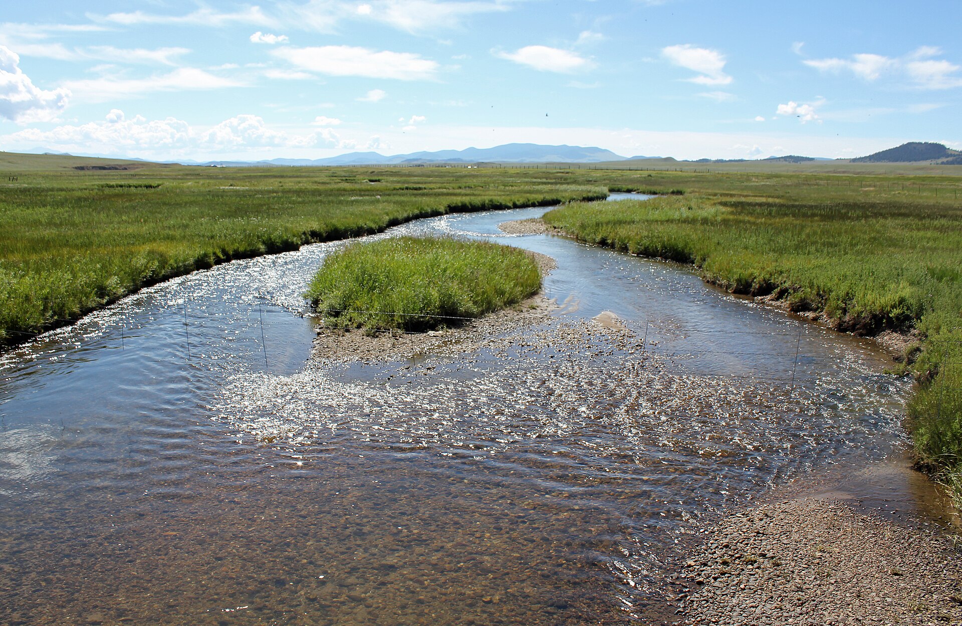 Middle Fork South Platte RiverCanoeingPhoto: Jeffrey Beall, CC BY 3.0 (via Wikimedia Commons)4.3 mi
Source: Roamze catalog (indexable pages within 10 miles, PostGIS distance)
Hoosier Comm. Site RoadHiking · ~2 min drivePhoto: Christian Collins, CC BY-SA 2.0 (via Flickr) Mount SilverheelsHiking · ~2 min drivePhoto: ikewinski, CC BY 2.0 (via Flickr)
 Wheeler MountainHiking · ~4 min drivePhoto: Kevin R Foote, CC BY-SA 3.0 (via Wikimedia Commons)
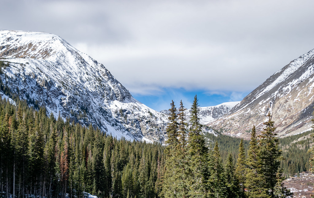 Hunter Lode RoadHiking · ~5 min drivePhoto: TerryDOtt, CC BY 2.0 (via Flickr)BemroseHiking · ~2 min drivePhoto: Christian Collins, CC BY-SA 2.0 (via Flickr)Red MountainHiking · ~4 min drivePhoto: Kevin R Foote, CC BY-SA 3.0 (via Wikimedia Commons)
 Mount CameronHiking · ~6 min drivePhoto: jl_2, CC BY-SA 2.0 (via Flickr)
 Mount BrossHiking · ~6 min drivePhoto: jl_2, CC BY-SA 2.0 (via Flickr)
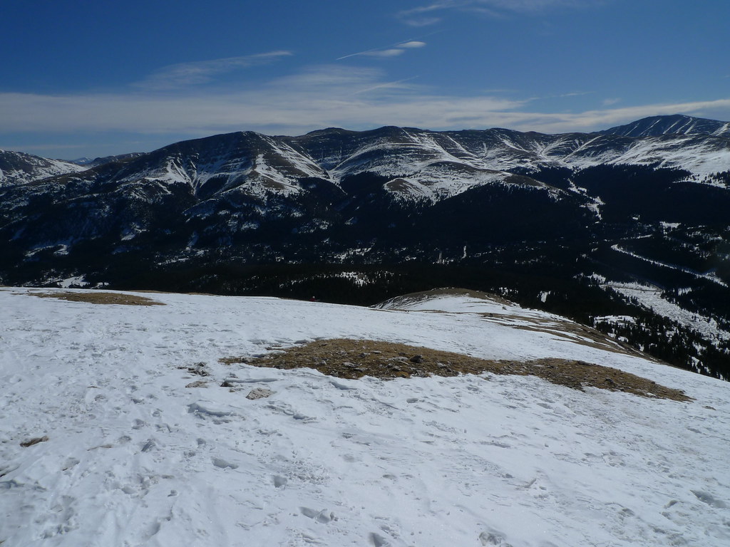 Blue Lake SpurHiking · ~3 min drivePhoto: jl_2, CC BY-SA 2.0 (via Flickr)Quandary PeakHiking · ~4 min drivePhoto: TerryDOtt, CC BY 2.0 (via Flickr)
Also worth it near here
 Mount LincolnSummit · ~3 min drivePhoto: Original uploader was Matt Vincent at en.wikipedia, CC BY-SA 3.0 (via Wikimedia Commons)Middle Fork South Platte RiverCanoeing · ~7 min drivePhoto: Jeffrey Beall, CC BY 3.0 (via Wikimedia Commons)
About 8.7 mi round trip from Montgomery Reservoir.
About 3,475 ft of climbing round trip.
It is rated expert.
Montgomery Reservoir.
© openrouteservice.org by HeiGIT | Map data © OpenStreetMap contributors
