Block and Tackle Trail
- 1.8 mi
- round trip
- 1,610 ft
- climb
- 11,079 ft
- high point
- Out and back
- route
Is Block and Tackle Trail open right now?
Closure in the area
There's a closure order in Grand Mesa, Uncompahgre and Gunnison National Forests. It doesn't name Block and Tackle Trail, so check the source for the area it covers (2 listed).
Gold Mountain Wildfire Roads and Trails Closure Order v 4.0
Agency closure covering Grand Mesa, Uncompahgre and Gunnison National Forests · USFS · Grand Mesa, Uncompahgre and Gunnison National Forests
Ophir Pass Road Closure
Agency closure covering Grand Mesa, Uncompahgre and Gunnison National Forests · USFS · Grand Mesa, Uncompahgre and Gunnison National Forests
Potter Basin Road Closure Order
Agency alert covering Grand Mesa, Uncompahgre and Gunnison National Forests · USFS · Grand Mesa, Uncompahgre and Gunnison National Forests
Beaver Park Road Closure Order
Agency alert covering Grand Mesa, Uncompahgre and Gunnison National Forests · USFS · Grand Mesa, Uncompahgre and Gunnison National Forests
TERMINATION OF ORDER - FIRE RESTRICTIONS
Agency alert covering Grand Mesa, Uncompahgre and Gunnison National Forests · USFS · Grand Mesa, Uncompahgre and Gunnison National Forests
As of · Source: USFS · Grand Mesa, Uncompahgre and Gunnison National Forests. Agencies don't list every closure — check before you go.
Block and Tackle Trail is a 3.6-mile out-and-back hike in Colorado's Gunnison Ranger District, part of the Grand Mesa, Uncompahgre and Gunnison National Forests. The trail climbs about 1,610 feet from a starting point near 10,300 feet to a high point of 11,079 feet, with the steepest stretch coming within the first third of the route. The climb is front-loaded, and the trail is rated moderate. The Forest Service manages the land, and the trip takes about two hours. The trail is a single route, so plan for a round trip of roughly 3.6 miles with about 1,610 feet of total gain and loss. Doubletop Trail lies about 1.2 miles away, and Campsite BC 13 is about 1.4 miles off. East Brush Road, a cross-country ski route, is also about 1.4 miles away. For paddling, Brush Creek is about 3.4 miles from the trail.
Go with a guide
- Mineral Belt Trail Guided WalkNexPM AI · $25 per person · 37 mi away
- Taylor Park Trading Post16 mi away
- Doubletop TrailHiking1.2 mi
 East Brush RoadCross-country skiingPhoto: jpaxton, CC BY-SA 3.0 (via Wikimedia Commons)1.4 mi
- Campsite BC 13CampingPhoto: jpaxton, CC BY-SA 3.0 (via Wikimedia Commons)1.4 mi
 Campsite BC 12CampingPhoto: jpaxton, CC BY-SA 3.0 (via Wikimedia Commons)1.6 mi
- Brush CreekCanoeing3.4 mi
- East RiverCanoeing6.7 mi
- Battleship BoulderRock climbing7.6 mi
- High TimesRock climbing7.6 mi
Source: Roamze catalog (indexable pages within 10 miles, PostGIS distance)
 405.2A TrailHiking · ~8 min drivePhoto: sean.bartell, CC BY-SA 2.0 (via Flickr)
- WATERFALL CUTOFFHiking · ~8 min drivePhoto: sean.bartell, CC BY-SA 2.0 (via Flickr)
- Doubletop TrailHiking · ~2 min drive
- HUNTERS CREEKHiking · ~3 min drive
- Horse Basin Trail 417Hiking · ~8 min drivePhoto: sean.bartell, CC BY-SA 2.0 (via Flickr)
- Teocalli Ridge Trail 557Hiking · ~5 min drive
- Waterfall Cutoff TrailHiking · ~5 min drive
- Cement CreekHiking · ~5 min drive
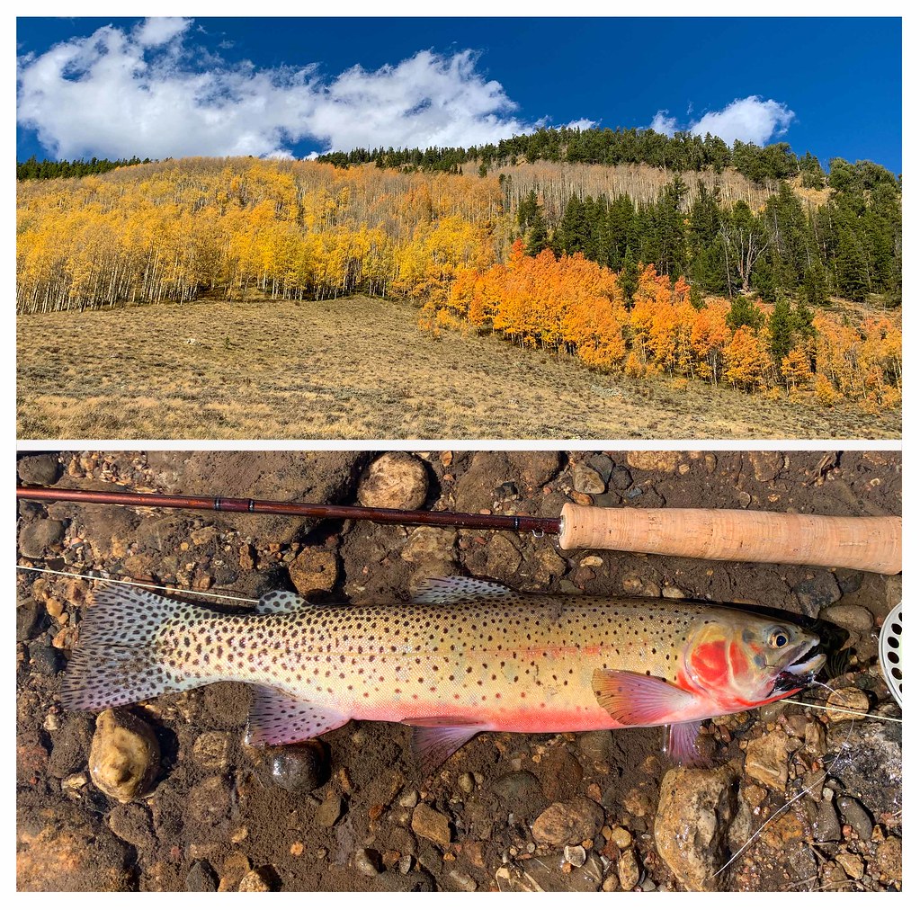 Bear Creek TrailHiking · ~10 min drivePhoto: thart2009, CC BY 2.0 (via Flickr)
- Deer CreekHiking · ~6 min drive
Also worth it near here
- East Brush RoadCross-country skiing · ~2 min drivePhoto: jpaxton, CC BY-SA 3.0 (via Wikimedia Commons)
- Campsite BC 13Camping · ~2 min drivePhoto: jpaxton, CC BY-SA 3.0 (via Wikimedia Commons)
- Friends HutHut camping · ~5 min drive
 West Brush Creek Snowmo/skiMountain biking · ~5 min drivePhoto: James St. John, CC BY 2.0 (via Wikimedia Commons)
Map and trail data © OpenStreetMap contributors
